Near Lamesa in Dawson County, Texas — The American South (West South Central)
Lamesa Farm Workers Community
Photographed by Bill Kirchner, November 11, 2017
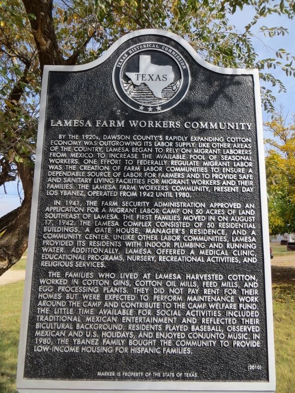
1. Lamesa Farm Workers Community Marker
In 1941, the Farm Security Administration approved an application for a migrant labor camp on 50 acres of land southeast of Lamesa. The first families moved in on August 17, 1942. The Lamesa Complex consisted of 50 residential buildings, a gate house, manager’s residence, and a community center. Unlike other labor communities, Lamesa provided its residents with indoor plumbing and running water. Additionally, Lamesa offered a medical clinic, educational programs, nursery, recreational activities, and religious services.
The families who lived at Lamesa harvested cotton,
this page online
Erected 2010 by Texas Historical Commission. (Marker Number 16680.)
Topics. This historical marker is listed in these topic lists: Agriculture • Hispanic Americans • Immigration • Settlements & Settlers. A significant historical date for this entry is August 17, 1942.
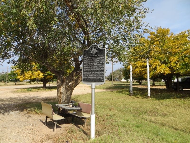
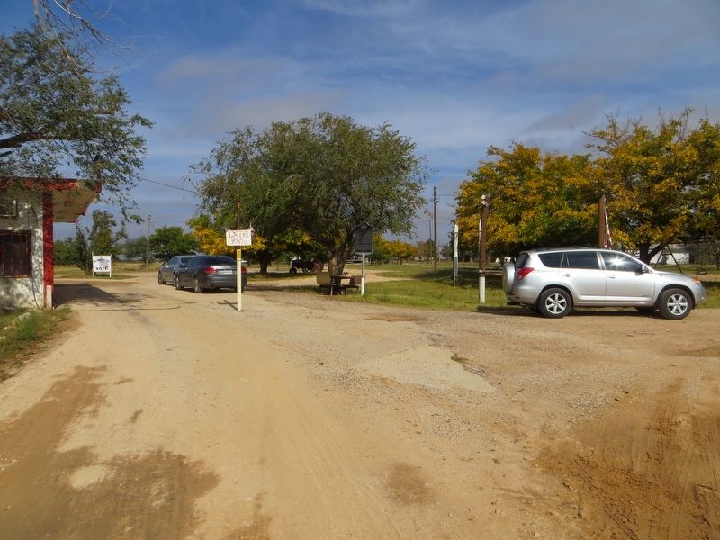
Location. 32° 43.046′ N, 101° 55.222′ W. Marker is near Lamesa, Texas, in Dawson County. It can be reached from County Highway M north of County Highway 20, on the right when traveling north. Marker cannot be seen from the road. Marker is located next to Ybanez's Liquor Wine & Beer store. Touch for map. Marker is at or near
Photographed by Bill Kirchner, November 11, 2017
2. Lamesa Farm Workers Community Marker

Regionally, this marker is in West Texas. Globally, it is in North America, a Gulf of Mexico state, the Western Hemisphere, the Western World, and the Anglosphere. Historically, it finds itself in what was once New Spain, the Comanchería, the Republic of Texas, and one of the Confederate States of America.
Other nearby markers. At least 3 other markers are within 4 miles of this marker, measured as the crow flies: Dawson County (approx. 1.1 miles away); Pioneer Cemetery (approx. 1.8 miles away); Site of Chicago (approx. 3.3 miles away).
Photographed by Bill Kirchner, November 11, 2017
3. Lamesa Farm Workers Community Marker
Credits. This page was last revised on November 30, 2024. It was originally submitted on November 17, 2017, by Bill Kirchner of Tucson, Arizona. This page has been viewed 893 times since then and 56 times this year. Photos: 1, 2, 3. submitted on November 17, 2017, by Bill Kirchner of Tucson, Arizona.
