Tierra Verde in Pinellas County, Florida — The American South (South Atlantic)
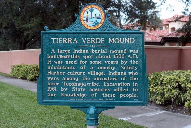
Tierra Verde Mound
Photographed by Tim Fillmon, January 5, 2018
1. Tierra Verde Mound Marker with corrected text.
Erected 1962 by Florida Board of Parks and Historic Memorials. (Marker Number F-90.)
Topics. This historical marker is listed in these topic lists: Anthropology & Archaeology • Cemeteries & Burial Sites • Indigenous Peoples and Communities • Settlements & Settlers. A significant historical year for this entry is 1500.
Location. 27° 40.148′ N, 82° 43.523′ W. Marker is in Tierra Verde, Florida, in Pinellas County. It is on Pinellas Bayway (County Road 679), on the right when traveling north. Touch for map. Marker is in this post office area: Saint Petersburg FL 33715, United States of America. Touch for directions.

Regionally, this marker is on the Gulf Coast and on Tampa Bay. It is also in the American South and on the Gulf Coast. Globally, it is in the North Atlantic Region, North America, a Gulf
this page online
Other nearby markers. At least 8 other markers are within 4 miles of this marker, measured as the crow flies: Zephaniah Phillips' Homestead Site (approx. 1.4 miles away); Merry Pier (approx. 1½ miles away); "Pass-A-Grille" (approx. 1.6 miles away); The Don Ce Sar Hotel (approx. 2.9 miles away); USCGC Blackthorn Bow Anchor (approx. 3.3 miles away); USCGC Blackthorn WLB-391 Memorial (approx. 3.3 miles away); Sunshine Skyway Bridge Collapse (approx. 3.4 miles away); Florida Honors and Remembers our POW’s and MIA’s (approx. 3.4 miles away).
Also see . . .
1. Tocobago. (Submitted on November 21, 2008, by Julie Szabo of Oldsmar, Florida.)
2. Archaeological sites in Florida. (Submitted on November 21, 2008, by Julie Szabo of Oldsmar, Florida.)
Additional keywords. Tocobago
Photographed by Julie Szabo, May 28, 2008
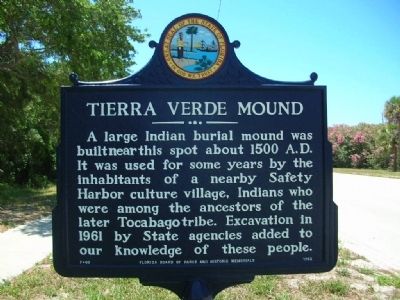
2. Tierra Verde Mound Marker
This photo shows a previous version of the marker with a slight error. It showed
"Tocabago", which was corrected to "Tocobaga".
Photographed by Julie Szabo, May 28, 2008
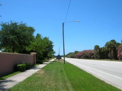
3. Tierra Verde Mound Marker, looking south
Credits. This page was last revised on April 12, 2018. It was originally submitted on November 19, 2008, by Julie Szabo of Oldsmar, Florida. This page has been viewed 6,183 times since then and 178 times this year. Last updated on January 11, 2018, by Tim Fillmon of Webster, Florida. Photos: 1. submitted on January 11, 2018, by Tim Fillmon of Webster, Florida. 2, 3. submitted on November 19, 2008, by Julie Szabo of Oldsmar, Florida. • Bernard Fisher was the editor who published this page.
