Glover Park in Northwest Washington in Washington, District of Columbia — The American Northeast (Mid-Atlantic)
Tunlaw Road
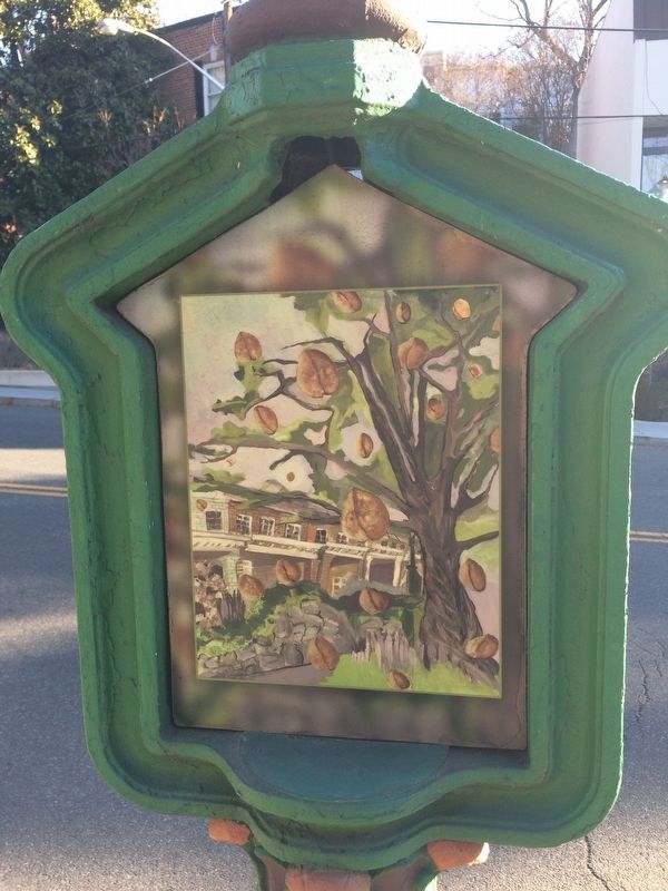
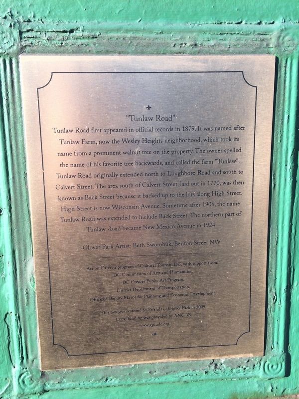
Tunlaw Road first appeared in official records in 1879. It was named after Tunlaw Farm, now the Wesley Heights neighborhood, which took its name from a prominent walnut tree on the property. The owner spelled the name of his favorite tree backwards, and called the farm "Tunlaw". Tunlaw Road originally extended north to Loughboro Road and south to Calvert Street. The area south of Calvert Street, laid out in 1770, was then known as Back Street because it backed up to the lots along High Street. High Street is now Wisconsin Avenue. Sometime after 1906, the name Tunlaw Road was extended to include Back Street. The northern part of Tunlaw Road became New Mexico Avenue in 1924.
Glover Park Artist: Beth Sworobuk, Benton Street NW
Erected 2009 by Cultural Tourism DC.
Topics and series. This historical marker is listed in these topic lists: Agriculture • Colonial Era • Environment • Roads & Vehicles. In addition, it is included in the DC, Art on Call series list. A significant historical year for this entry is 1770.
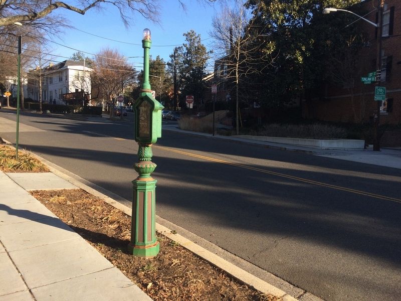
Location. 38° 55.18′ N, 77° 4.384′ W. Marker is in Northwest Washington in Washington, District of Columbia. It is in Glover Park. Marker is on Tunlaw Road Northwest south of 37th Street Northwest, on the right when traveling south. Touch for map. Marker is at or near this postal address: 2207 Tunlaw Road Northwest, Washington DC 20007, United States of America. Touch for directions.
Other nearby markers. At least 8 other markers are within walking distance of this marker. Mapping Art On Call (about 500 feet away, measured in a direct line); Dedication to the Dedicated (about 500 feet away); Holy Rood Cemetery (approx. 0.2 miles away); Herbert R. Morgan (approx. 0.2 miles away); Charles Carroll Glover (approx. 0.2 miles away); Dischord Records (approx. 0.2 miles away); The Georgetown Departed (approx. ¼ mile away); Introduction to Burleith (approx. 0.3 miles away). Touch for a list and map of all markers in Northwest Washington.
Credits. This page was last revised on January 30, 2023. It was originally submitted on January 27, 2018, by Devry Becker Jones of Washington, District of Columbia. This page has been viewed 292 times since then and 20 times this year. Photos: 1, 2, 3. submitted on January 27, 2018, by Devry Becker Jones of Washington, District of Columbia. • Bill Pfingsten was the editor who published this page.


