Manzanita in Tillamook County, Oregon — The American West (Northwest)
From Footpath to Highway
Traveling Neahkahnie Mountain
Photographed by Barry Swackhamer, September 22, 2017
1. From Footpath to Highway Marker
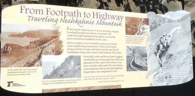
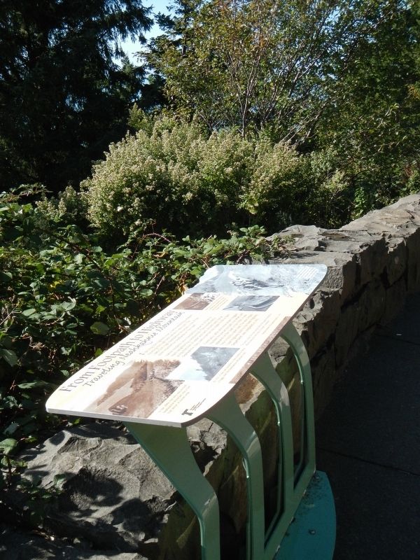
Captions: (left) In the 1890s, the only way around Neahkahnie Mountain was a foot trail about 18 inches wide.; (bottom left) By 1915, it was just possible to ride a horse or drive a buggy over the Neahkahnie Mountain trail. (upper center right) After the turn of the 20th century, a pedestrian suspension bridge was built over the Mountain's "chasm,: its steepest spot.; (bottom right) As the highway was constructed, the roadbed was partially cut into the cliff face, and at vital steep points it was suspended by the Chasm Bridge and several half viaducts.
Native residents once traveled by canoe or on foot to reach neighboring communities. They moved easily along stretches of water and hard, smooth sand, but at Neahkahnie, they used a narrow trail made by elk and deer.
Eventually cattle and horse-drawn buggies traveled this precarious path, but when cars appeared on the coast in the 1920s, it was time to build a safer road. The new Oregon Coast Highway, built by the State Highway Department, was completed in 1941.
"For scenic value, this new section will be the equal of anything offered along the 400 miles of Oregon's coastline." -- Herman Edwards, The Oregonian, March 23, 1941
Erected by Oregon Department of Transportation.
Topics. This historical marker is listed in these topic lists: Natural Features • Roads & Vehicles.
Location. 45° 44.608′ N, 123° 57.502′ W. Marker is in Manzanita, Oregon, in Tillamook County.
this page online

Regionally, this marker is on the Oregon Coast. It is also on the American Pacific Coast, in the Pacific Northwest, and in the Lewis & Clark Corridor. Globally, it is in North America, on the Pacific Rim, in the Western Hemisphere, in the Western World, and in the Anglosphere.
Other nearby markers. At least 8 other markers are within walking distance of this marker: Safety and Beauty (here, next to this marker); The First People (a few steps from this marker); Uncanny Neahkahnie (a few steps from this marker); Oswald West (about 700 feet away, measured in a direct line); Neahkahnie Mountain (about 700 feet away); a different marker also named Oswald West (about 700 feet away); Roosevelt Elk (about 700 feet away); In Harmony with Nature (about 700 feet away). Touch for a list and map of all markers in Manzanita.
Photographed by Barry Swackhamer, September 22, 2017
2. From Footpath to Highway Marker
Photographed by Ian Lefkowitz, October 20, 2023
3. Oregon Coast Highway
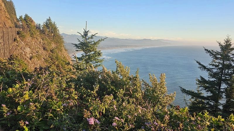
The Oregon Coast Highway construction can be seen from the viewpoint, which is overlooking Neahkahnie Beach and Manzanita.
Photographed by Ian Lefkowitz, October 20, 2023
4. From Footpath to Highway Marker
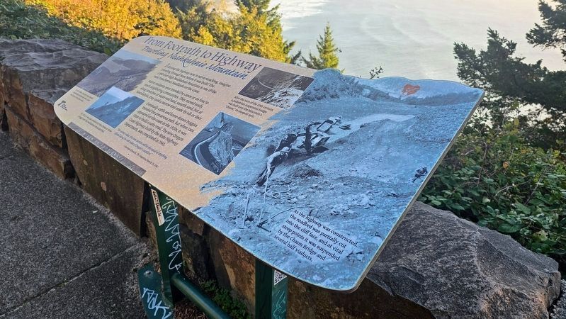
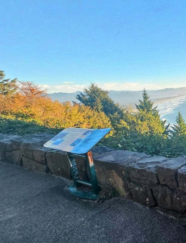
The marker is placed on a stone wall overlooking a cliffside view of Manzanita Beach below.
Photographed by Ian Lefkowitz, October 20, 2023
5. From Footpath to Highway Marker
The marker overlooks a scenic viewpoint.
Credits. This page was last revised on April 11, 2025. It was originally submitted on February 4, 2018, by Barry Swackhamer of Brentwood, California. This page has been viewed 547 times since then and 36 times this year. Photos: 1, 2. submitted on February 4, 2018, by Barry Swackhamer of Brentwood, California. 3, 4, 5. submitted on April 10, 2025, by Ian Lefkowitz of New York, New York.
