Near Lakeview in Lake County, Oregon — The American West (Northwest)
Chandler State Park
Photographed by Cosmos Mariner, June 27, 2016
1. Chandler State Park Marker
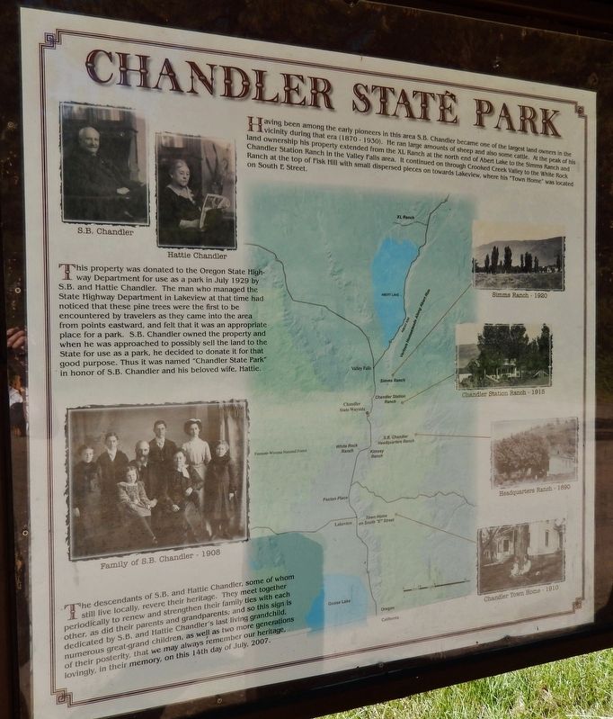
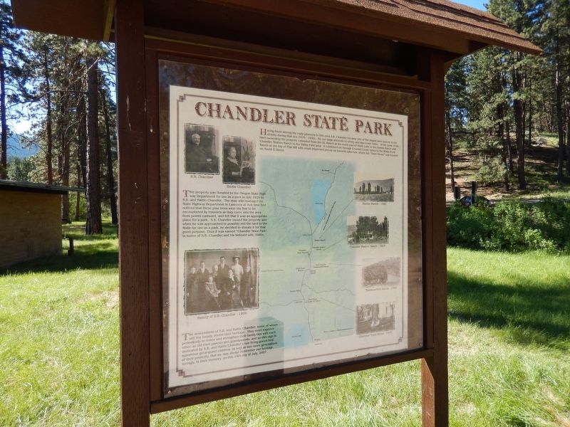
Having been among the early pioneers in this area, S.B. Chandler became one of the largest land owners in the vicinity during that era (1870 – 1930). He ran large amounts of sheep and also some cattle. At the peak of his land ownership his property extended from the XL Ranch at the north end of Abert Lake to the Simms Ranch and Chandler Station Ranch in the Valley Falls area. It continued on through Crooked Creek Valley to the White Rock Ranch at the top of Fisk Hill with small dispersed pieces on towards Lakeview, where his “Town Home” was located on South E Street.
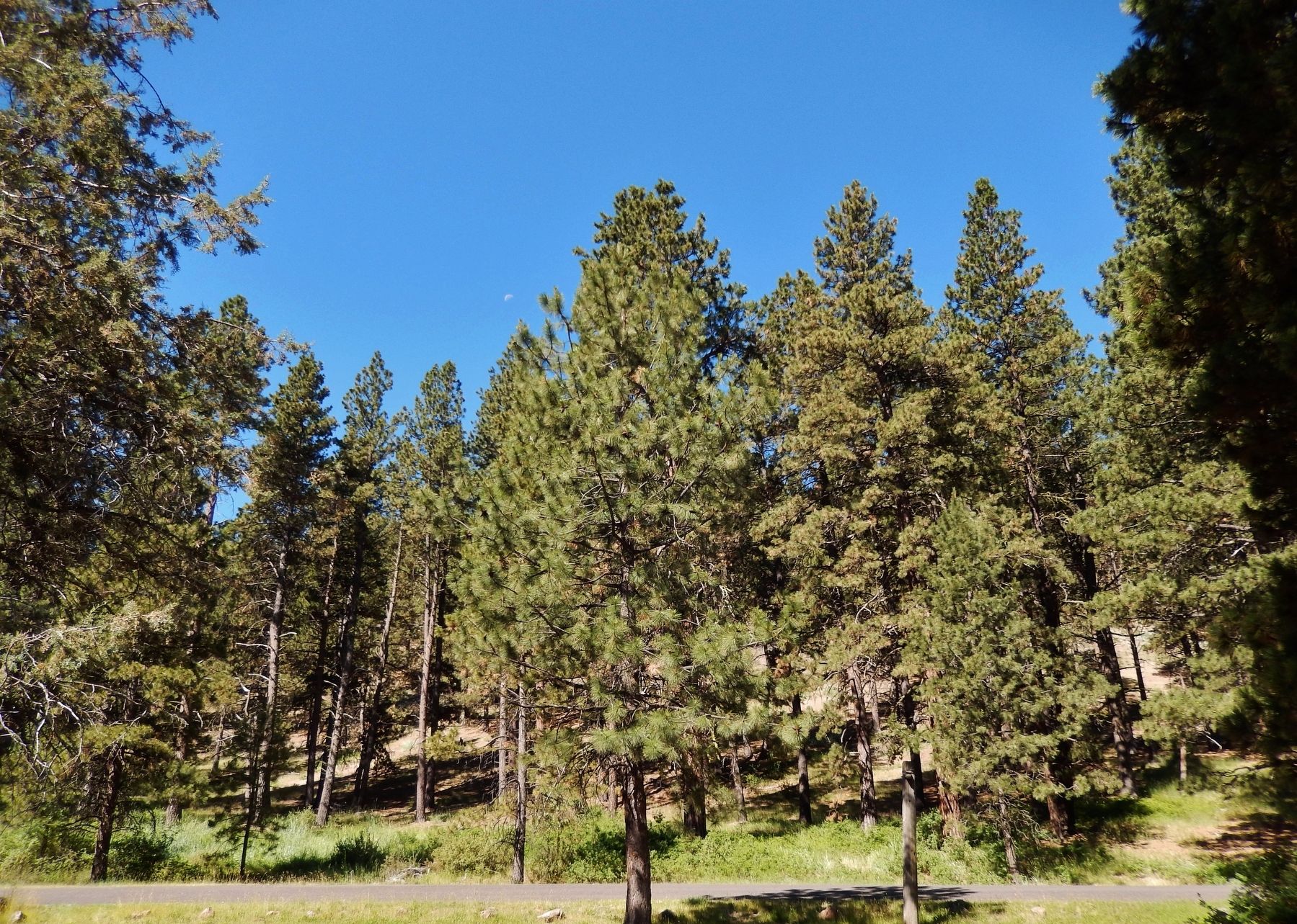
This property was donated to the Oregon State Highway Department for use as a park in July 1929 by S.B. and Hattie Chandler. The man who managed the State Highway Department in Lakeview at that time had noticed that these pine trees were the first to be encountered by travelers as they came into the area from points eastward, and felt that it was an appropriate place for a park. S.B. Chandler owned the property and when he was approached to possibly sell the land to the State for use as a park, he decided to donate it for that
this page online
The descendants of S.B. Chandler and Hattie Chandler, some of whom still live locally, revere their heritage. They meet together periodically to renew and strengthen their family ties with each other, as did their parents and grandparents; and so this sign is dedicated by S.B. and Hattie Chandler’s last living grandchild, numerous great-grand children, as well as two more generations of their posterity, that we may always remember our heritage, lovingly, in their memory, on this 14th day of July, 2007.
Erected 2007 by Descendants of S.B. and Hattie Chandler.
Topics. This historical marker is listed in these topic lists: Agriculture • Parks & Recreational Areas • Roads & Vehicles • Settlements & Settlers.
Location. 42° 24.601′ N, 120° 17.427′ W. Marker is near Lakeview, Oregon, in Lake County. It can be reached from Fremont Highway (U.S. 395) south of Forest Road 3630, on the left when traveling north. Marker is located within Chandler
Photographed by Cosmos Mariner, June 27, 2016
2. Chandler State Park Marker (wide view)

Regionally, this marker is in the High Desert and in Eastern Oregon. It is also in the American Mountain West and in the Lewis & Clark Corridor. Globally, it is in North America, on the Pacific Rim, in the Western Hemisphere, in the Western World, and in the Anglosphere.
Other nearby markers. At least 2 other markers are within 14 miles of this marker, measured as the crow flies: Abert Rim (approx. 3.6 miles away); Old Perpetual (approx. 13.7 miles away).
Another marker is no longer nearby. Abert Rim (was approx. 5.6 miles away but has been permanently removed).
Also see . . . Chandler State Wayside.
The Chandler ranch included property on Crooked Creek. In one area along the creek, there was a stand of large ponderosa pine. These were the first large pine trees that travelers encountered when approaching the area from high desert county to the north and east. In the mid-1920s, the state highway department offered to buy the pine-covered
Photographed by Cosmos Mariner, June 27, 2016
3. Ponderosa Pine Trees at Chandler State Wayside
Credits. This page was last revised on December 14, 2024. It was originally submitted on February 7, 2018, by Cosmos Mariner of Cape Canaveral, Florida. This page has been viewed 469 times since then and 45 times this year. Photos: 1, 2, 3. submitted on February 7, 2018, by Cosmos Mariner of Cape Canaveral, Florida. • Andrew Ruppenstein was the editor who published this page.
