Hillsboro in Washington County, Oregon — The American West (Northwest)
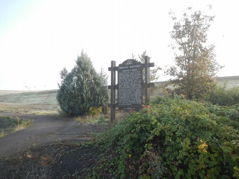
Joseph L. Meek

Photographed by Barry Swackhamer, September 24, 2017
1. Joseph L. Meek Marker
Erected by Oregon Travel Experience.
Topics and series. This historical marker is listed in these topic lists: Cemeteries & Burial Sites • Law Enforcement • Settlements & Settlers • Wars, US Indian. In addition, it is included in the Former U.S. Presidents: #11 James K. Polk, and the Oregon Beaver Boards series lists. A significant historical year for this entry is 1840.
Location. 45° 35.058′ N, 122° 58.87′ W. Marker is
this page online

Regionally, this marker is in Oregon Wine Country, in the Willamette Valley, and in Greater Portland Area. It is also on the American Pacific Coast, in the Pacific Northwest, and in the Lewis & Clark Corridor. Globally, it is in North America, on the Pacific Rim, in the Western Hemisphere, in the Western World, and in the Anglosphere.
Other nearby markers. At least 8 other markers are within 13 miles of this marker, measured as the crow flies: Old Log Jail, 1853 (approx. 6.1 miles away); Fort William (approx. 8 miles away); a different marker also named Fort William (approx. 8 miles away); The Medal of Honor (approx. 11.1 miles away); History of Scappoose (approx. 12.4 miles away); Route of Lewis and Clark National Historic Trail (approx. 12.4 miles away); Lewis and Clark on the Columbia (approx. 12.4 miles away); Thomas McKay (approx. 12.4 miles away).
More about this marker.
Photographed by Barry Swackhamer, September 24, 2017
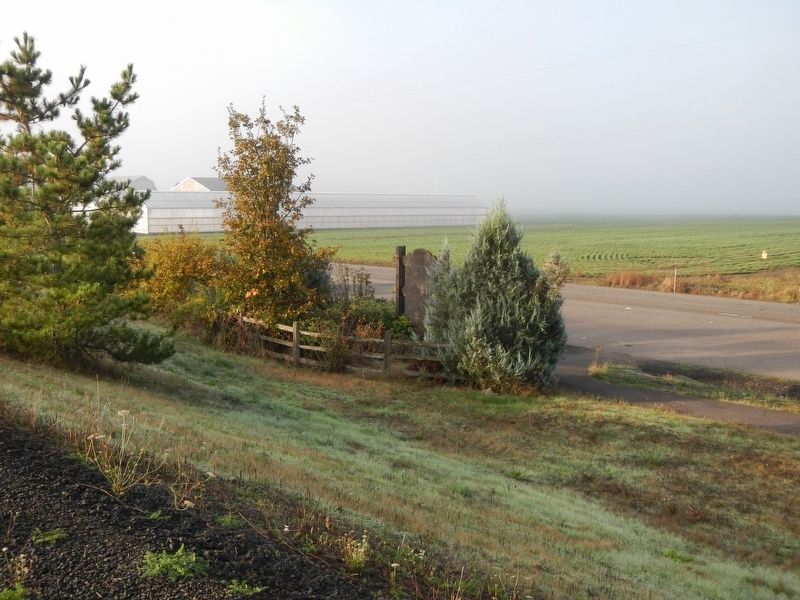
2. Joseph L. Meek Marker
Photographed by Barry Swackhamer, September 24, 2017
3. Joseph L. Meek Marker
Photographed by Barry Swackhamer
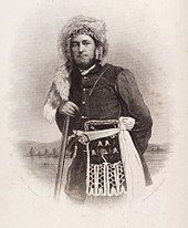
4. Joseph L. Meek
Credits. This page was last revised on December 14, 2024. It was originally submitted on February 9, 2018, by Barry Swackhamer of Brentwood, California. This page has been viewed 1,341 times since then and 111 times this year. Photos: 1, 2, 3, 4. submitted on February 9, 2018, by Barry Swackhamer of Brentwood, California.
