The National Mall in Southwest Washington in Washington, District of Columbia — The American Northeast (Mid-Atlantic)
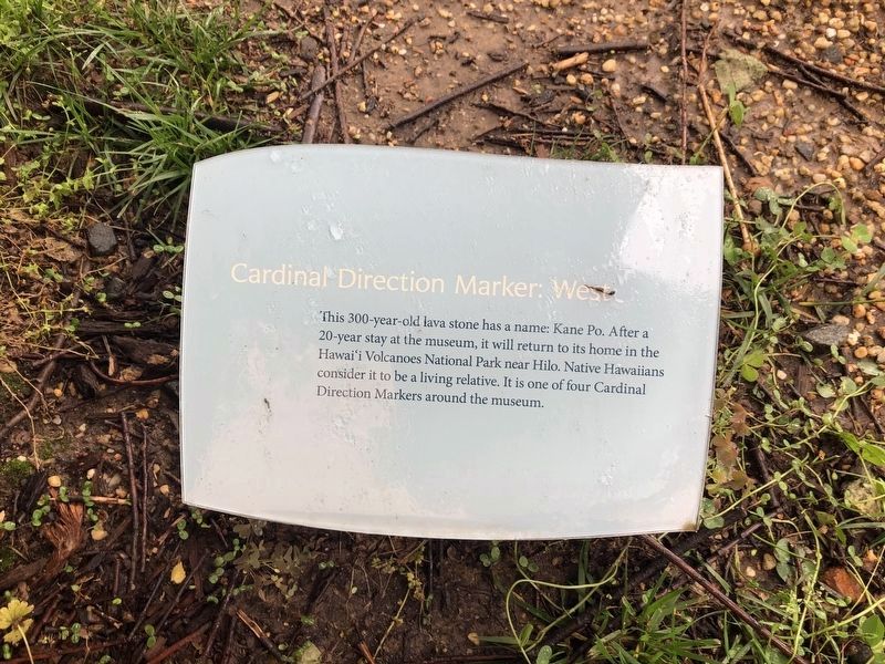
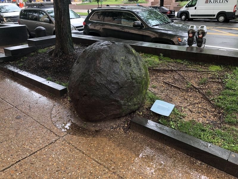
Cardinal Direction Marker: West
Erected by Smithsonian Institution.
Topics. This historical marker is listed in these topic lists: Anthropology & Archaeology • Environment • Indigenous Peoples and Communities.
Location. This marker has been replaced by another marker nearby. It was located near 38° 53.3′ N, 77° 1.039′ W. Marker was in Southwest Washington in Washington, District of Columbia. It was in The National Mall. It could be reached from 4th Street Southwest north of Independence Avenue Southwest, on the right when traveling north. On the grounds of the National Museum of the American Indian. Touch for map. Marker was at or near this postal address: 339 Maryland Avenue Southwest, Washington DC 20024, United States of America. Touch for directions.

Regionally, this marker was in the Washington Metropolitan
this page online
Other nearby markers. At least 4 other markers are within walking distance of this location: A different marker also named Cardinal Direction Marker: West (a few steps from this marker); Rick Bartow (within shouting distance of this marker); Eastern Meadow (within shouting distance of this marker); a different marker also named Nora Naranjo-Morse (within shouting distance of this marker). Touch for a list and map of all markers in Southwest Washington.
Other markers no longer nearby. Eastern Redcedar • Muráhk (mah-dok) (was within shouting distance of this marker but has been permanently removed); Can you hear the echo of the water bouncing off the rock? (was within shouting distance of this marker but has been permanently removed); Rick Bartow (1946-2016) (was within shouting distance of this marker but has been replaced with another marker now near it); Wingapo (was within shouting
Related marker. Click here for another marker that is related to this marker. This marker has been replaced with the linked marker.
Additional keywords. Native Hawaiians, Pacific Islanders
Credits. This page was last revised on January 30, 2023. It was originally submitted on November 14, 2017, by Devry Becker Jones of Washington, District of Columbia. This page has been viewed 582 times since then and 17 times this year. Last updated on February 10, 2018, by Devry Becker Jones of Washington, District of Columbia. Photos: 1, 2. submitted on May 13, 2019, by Devry Becker Jones of Washington, District of Columbia. • Bill Pfingsten was the editor who published this page.
