Auburn in Gwinnett County, Georgia — The American South (South Atlantic)
Old Oak Tree
Photographed by J. Makali Bruton, February 19, 2018
1. Old Oak Tree Marker
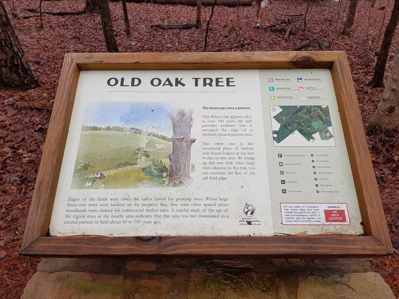
Old Oak Tree
This forest was once a pasture.
This White Oak (Quercus alba) is over 100 years old and provides evidence that it occupied the edge of a formerly cleared pasture area.
The other clue is the occasional piece of barbed wire found lodged in the tree trunks in this area. By lining up this tree with other large trees adjacent to the trail, you can envision the line of the old field edge.
Edges of the fields were often the safest haven for growing trees. When large fence-row trees were located on the property line, they were often spared when woodlands were cleared for commercial timber sales. A careful study of the age of the typical trees in the nearby area indicates that this area was last maintained as a cleared pasture or field about 60 to 100 years ago.
Erected by Gwinnett County Parks and Recreation.
Topics. This historical marker is listed in these topic lists: Agriculture • Environment • Parks & Recreational Areas • Settlements & Settlers.
Location. 34° 2.441′ N, 83° 52.939′ W. Marker is in Auburn, Georgia, in Gwinnett County. It can be
this page online

Regionally, this marker is in Georgia’s Piedmont and in Metro Atlanta. It is also in the American South and specifically in the Deep South. Globally, it is in North America, the Western Hemisphere, the Western World, and the Anglosphere. Historically, it finds itself in what was once the territory of the Mississippian Culture, one of the original Thirteen Colonies, one of the Confederate States of America, and the Antebellum South.
Other nearby markers. At least 8 other markers are within 2 miles of this marker, measured as the crow flies: Little Mulberry Park (approx. ¼ mile away); Stone Structures (approx. 0.4 miles away); Karina Miller Nature Preserve (approx. 0.9 miles away); The Elisha Winn House (approx. 1.9 miles away); a different marker also named The Elisha Winn House (approx. 1.9 miles away); a different
Photographed by J. Makali Bruton, February 19, 2018
2. Old Oak Tree Marker
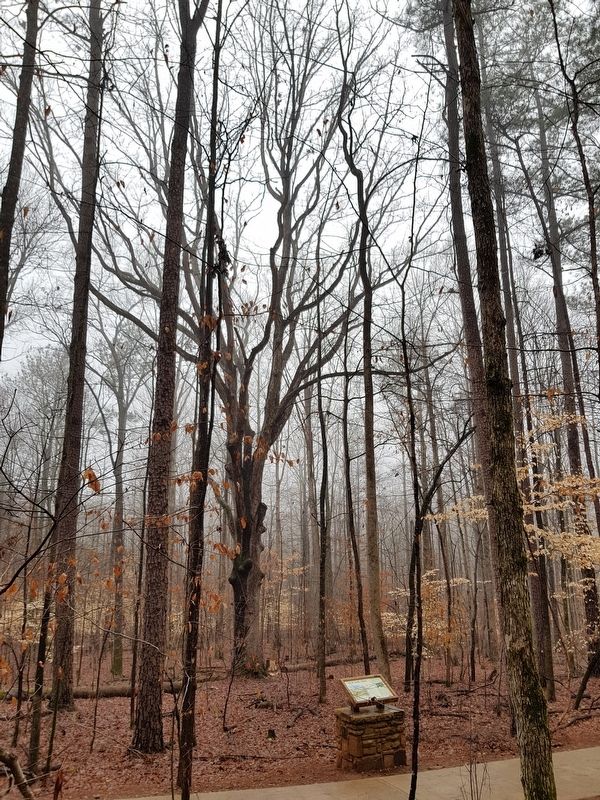
The 'old oak tree' can be seen in the distance.
Photographed by J. Makali Bruton, February 19, 2018
3. Old Oak Tree Marker
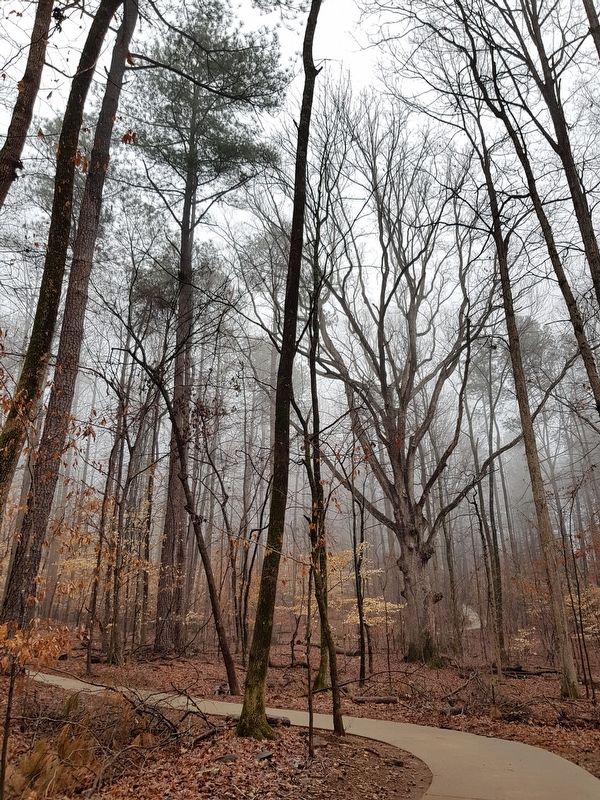
The marker is barely visible to the left in this view from further along the Ravine Loop Trail. The oak tree is to the right.
Photographed by J. Makali Bruton, February 19, 2018
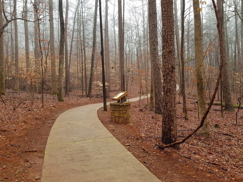
4. Old Oak Tree Marker
Photographed by J. Makali Bruton, February 19, 2018
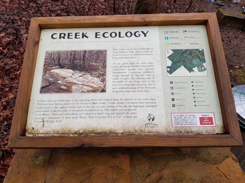
5. The additional, nearby Creek Ecology Marker.
Creek Ecology
Many creeks can be found throughout Little Mulberry Park. These creeks are home to dozens of small invertebrates, frogs and salamanders. On any given night the creek edges come alive as the Marbled Salamanders (Ambystoma opacum) and Spotted Salamanders (Ambystoma maculatum) trudge through the wet leaf litter in search of prey. The echoing calls of thousands of tree frogs such as the Grey Tree Frog Hyla versicolor, hint at just a small percentage of the life found along these important creek edges.
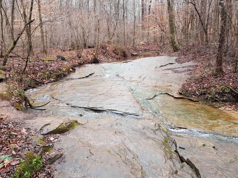
In these areas are dense mats of decomposing debris that collects along the narrows of the creek edges. These are ideal basking zones for the Northern Water Snake (Nerodia sipedon), a common non-venomous snake found in this region. Creeks such as the one you are viewing at this site are important ecological components to the life cycles of the species described above. The key aspect you can provide is cleanliness. Trash and other debris left behind by hikers clog and degrade the water quality for inhabitants of these areas. Please “Pack It In and Pack It Out” to keep Gwinnett Wildlife Wild!
Photographed by J. Makali Bruton, February 19, 2018
6. The creek near the Creek Ecology Marker
Photographed by J. Makali Bruton, February 19, 2018
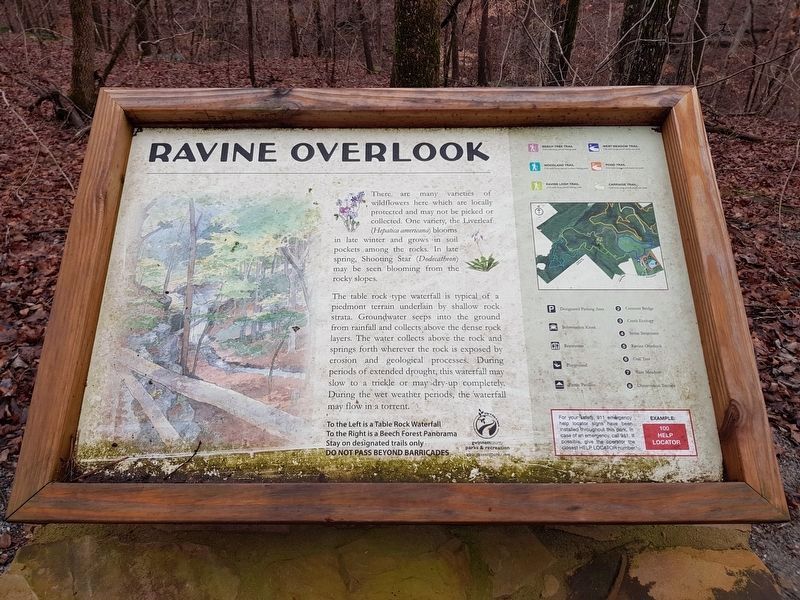
7. The additional, nearby Ravine Overlook Marker
This additional marker is some few hundred yards northwest of the Old Oak Tree Marker, along the northern portion of the Ravine Loop Trail. It reads:
Ravine Overlook
There are many varieties of wildflowers here which are locally protected and may not be picked or collected. One variety, the Liverleaf (Hepatica americana) blooms in late winter and grows in soil pockets among the rocks. In late spring, Shooting Star (Dodecatheon) may be seen blooming from the rocky slopes. The table rock type waterfall is typical of a piedmont terrain underlain by shallow rock strata. Groundwater seeps into the ground from rainfall and collects above the dense rock layers. The water collects above the rock and springs forth wherever the rock is exposed by erosion and geological processes. During periods of extended drought, this waterfall may slow to a trickle or may dry-up completely. During the wet weather periods, the waterfall may flow in a torrent.
To the Left is a Table Rock Waterfall.
To the Right is a Beech Forest Panorama
Stay on designated trails only
Do not pass beyond barricades
Ravine Overlook
There are many varieties of wildflowers here which are locally protected and may not be picked or collected. One variety, the Liverleaf (Hepatica americana) blooms in late winter and grows in soil pockets among the rocks. In late spring, Shooting Star (Dodecatheon) may be seen blooming from the rocky slopes. The table rock type waterfall is typical of a piedmont terrain underlain by shallow rock strata. Groundwater seeps into the ground from rainfall and collects above the dense rock layers. The water collects above the rock and springs forth wherever the rock is exposed by erosion and geological processes. During periods of extended drought, this waterfall may slow to a trickle or may dry-up completely. During the wet weather periods, the waterfall may flow in a torrent.
To the Left is a Table Rock Waterfall.
To the Right is a Beech Forest Panorama
Stay on designated trails only
Do not pass beyond barricades
Photographed by J. Makali Bruton, February 19, 2018
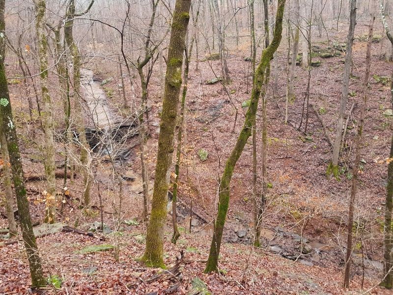
8. The ravine overlook and table rock type waterfall mentioned in the Ravine Overlook Marker
While neither are visible in this view, across the ravine and to the left is the Old Oak Tree Marker, while the Stone Structures Marker is across and towards the right.
Credits. This page was last revised on November 27, 2020. It was originally submitted on February 23, 2018, by J. Makali Bruton of Washington, District of Columbia. This page has been viewed 1,051 times since then and 44 times this year. Photos: 1, 2, 3, 4. submitted on February 23, 2018, by J. Makali Bruton of Washington, District of Columbia. 5, 6, 7, 8. submitted on February 24, 2018, by J. Makali Bruton of Washington, District of Columbia.
