Snow Hill in Greene County, North Carolina — The American South (South Atlantic)
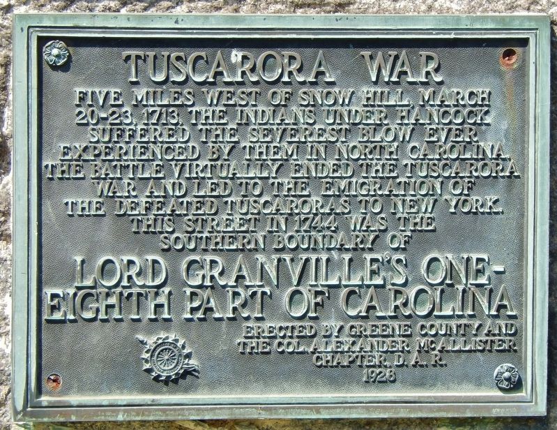
Tuscarora War
Lord Granville's One-Eighth Part of Carolina
Photographed by Cosmos Mariner, May 17, 2017
1. Tuscarora War Marker
Five miles west of Snow Hill, March 20-23, 1713, the Indians under Hancock suffered the severest blow ever experienced by them in North Carolina. The battle virtually ended the Tuscarora War and led to the emigration of the defeated Tuscaroras to New York.
This street in 1744 was the southern boundary of Lord Granville's one-eighth part of Carolina.
Erected 1928 by Greene County and the Col. Alexander McAllister Chapter, D.A.R.
Topics and series. This historical marker is listed in these topic lists: Colonial Era • Indigenous Peoples and Communities • Wars, US Indian. In addition, it is included in the Daughters of the American Revolution (DAR) series list. A significant historical date for this entry is March 20, 1713.
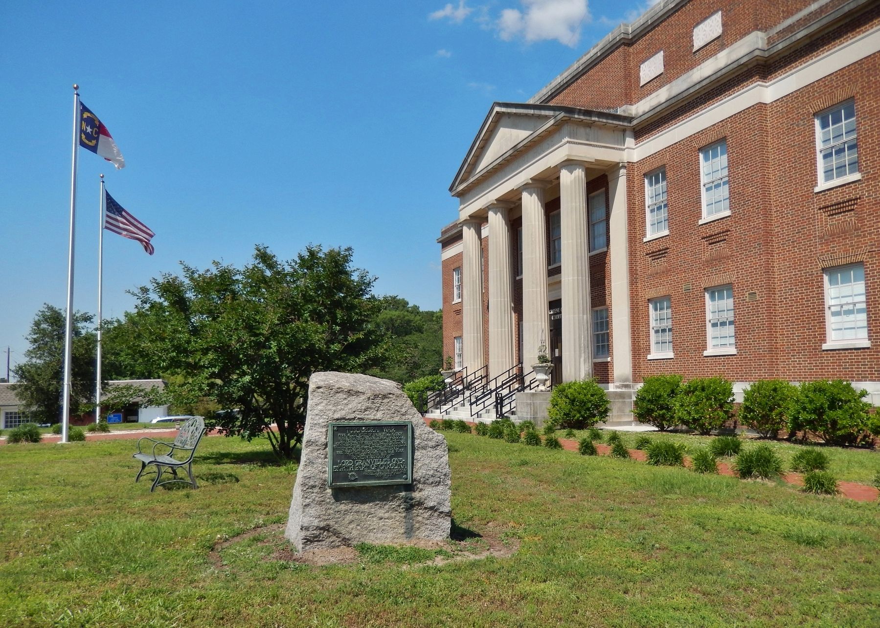
Location. 35° 27.322′ N, 77° 40.222′ W. Marker is in Snow Hill, North Carolina, in Greene County. It is at the intersection of SE 2nd Street (U.S. 258) and North Greene Street (U.S. 258), on the right when traveling west on SE 2nd Street. Marker is located near the southwest corner of the Greene County Courthouse. Touch for map. Marker is at or near this postal address: 301 N Greene St, Snow Hill NC 28580, United States of America. Touch for directions.

Regionally, this marker is in North Carolina’s Coastal Plain. It is also in the American South and specifically in the Upper South.
this page online
Other nearby markers. At least 8 other markers are within 4 miles of this marker, measured as the crow flies: Ray E. Eubanks (within shouting distance of this marker); Greene County Veterans Memorial (within shouting distance of this marker); Greene County Confederate Memorial (within shouting distance of this marker); Snow Hill (about 400 feet away, measured in a direct line); Grimsley Baptist Church (approx. 2½ miles away); Hull Road (approx. 2½ miles away); Grimsley Original Free Will Baptist Church 1762-2012 (approx. 2.9 miles away); Nooherooka (approx. 3.6 miles away). Touch for a list and map of all markers in Snow Hill.
Also see . . .
1. Tuscarora War. Access Genealogy website entry:
The rapid encroachment of the whites on the lands of the Tuscarora and their Indian neighbors for a period of sixty years after the first settlements, although there was an air of peace and harmony between the two races, there were wrongs which dwarfed in comparison with the continued practice of kidnapping their young to be sold

Photographed by Cosmos Mariner, May 17, 2017
2. Tuscarora War Marker
North Carolina History project website entry
Click for more information.
Click for more information.
2. The Tuscarora War. 2016 book by David La Vere.
At dawn on September 22, 1711, more than 500 Tuscarora, Core, Neuse, Pamlico, Weetock, Machapunga, and Bear River Indian warriors swept down on the unsuspecting European settlers living along the Neuse and Pamlico Rivers of North Carolina. Over the following days, they destroyed hundreds of farms, killed at least 140 men, women, and children, and took about 40 captives. So began the Tuscarora War, North Carolina's bloodiest colonial war and surely one of its most brutal. In his gripping account, David La Vere examines the war through the lens of key players in the conflict, reveals the events that led to it, and traces its far-reaching consequences.(Submitted on March 12, 2022.)
La Vere details the innovative fortifications produced by the Tuscaroras, chronicles the colony's new practice of enslaving all captives and selling them out of country, and shows how both sides drew support from forces far outside the colony's borders. In these ways and others, La Vere concludes, this merciless war pointed a new direction in the development ofthe future state of North Carolina.Photographed by Cosmos Mariner, May 17, 20173. Tuscarora War MarkerGreene County Courthouse in background.
Photographed by Cosmos Mariner, May 17, 2017
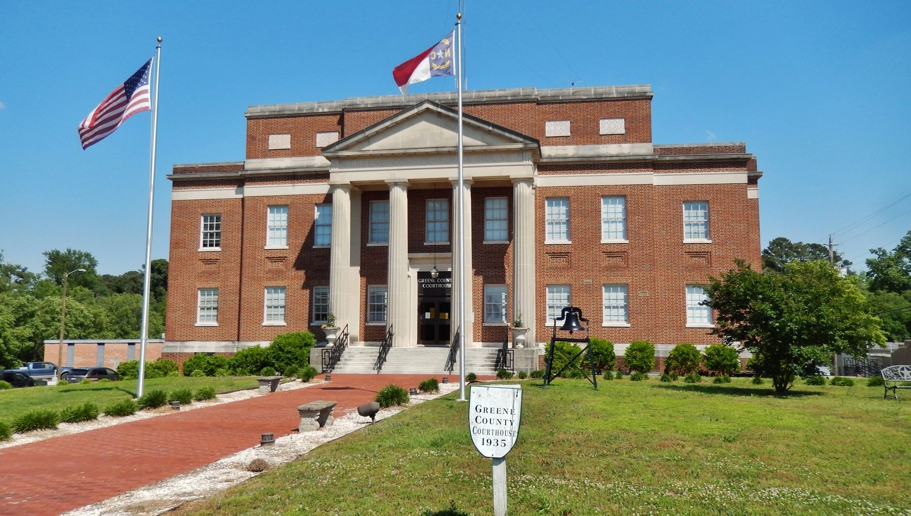
4. Greene County Courthouse
The marker is located just beyond image, to the right.
Credits. This page was last revised on June 1, 2024. It was originally submitted on February 27, 2018, by Cosmos Mariner of Cape Canaveral, Florida. This page has been viewed 2,448 times since then and 91 times this year. It was the Marker of the Week March 13, 2022. Photos: 1, 2, 3, 4. submitted on February 27, 2018, by Cosmos Mariner of Cape Canaveral, Florida. • Bernard Fisher was the editor who published this page.
