
Mechanicsburg in Madison County, Ohio — The American Midwest (Great Lakes)
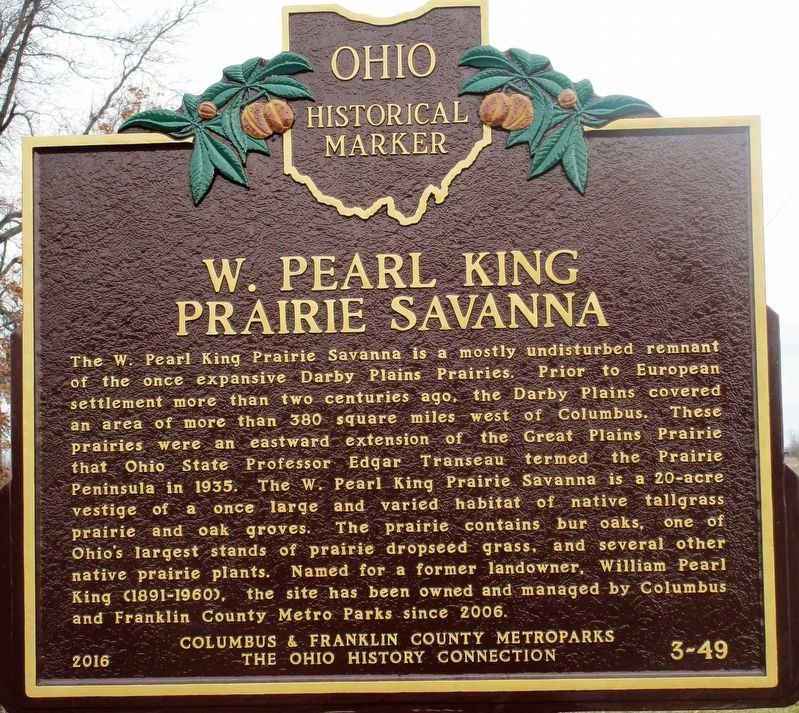
W. Pearl King Prairie Savanna
Photographed by Rev. Ronald Irick, February 28, 2018
1. W. Pearl King Prairie Savanna Marker
Erected 2016 by Columbus & Franklin County Metroparks and The Ohio History Connection. (Marker Number 3- 49.)
Topics and series. This historical marker is listed in these topic lists: Agriculture • Environment • Parks & Recreational Areas. In addition, it is included in the Ohio Historical Society / The Ohio History Connection
this page online
Location. 40° 2.709′ N, 83° 28.631′ W. Marker is in Mechanicsburg, Ohio, in Madison County. It is at the intersection of David Brown Road (County Route 119) and Mechanicsburg- Sanford Road and Becker Road (Route 27), on the left when traveling north on David Brown Road. marker is at the southwest corner of a three way intersection. Touch for map. Marker is at or near this postal address: 3000 Road 27, Mechanicsburg OH 43044, United States of America. Touch for directions.

Regionally, this marker is in the Columbus Metropolitan Area. It is also in the American Midwest and in the Corn Belt. Globally, it is in North America, the Western Hemisphere, the Western World, and the Anglosphere. Historically, it finds itself in what was once the Haudenosaunee (Iroquois) Confederacy, the territory of the Mississippian Culture, and the Northwest Territory.
Other nearby markers. At least 8 other markers are within 5 miles of this marker, measured as the crow flies: Pike Township Veterans Memorial (approx. 1.4 miles away); Joseph E. Wing (approx. 3.4 miles away); Plumwood Veterans Memorial
Photographed by Rev. Ronald Irick, February 28, 2018
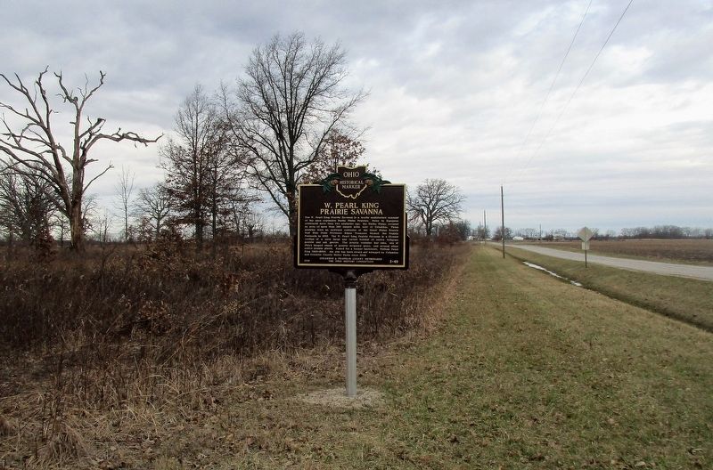
2. W. Pearl King Prairie Savanna Marker
full view of marker, looking west along Mechanicsburg- Sanford Road
Photographed by Rev. Ronald Irick, February 28, 2018
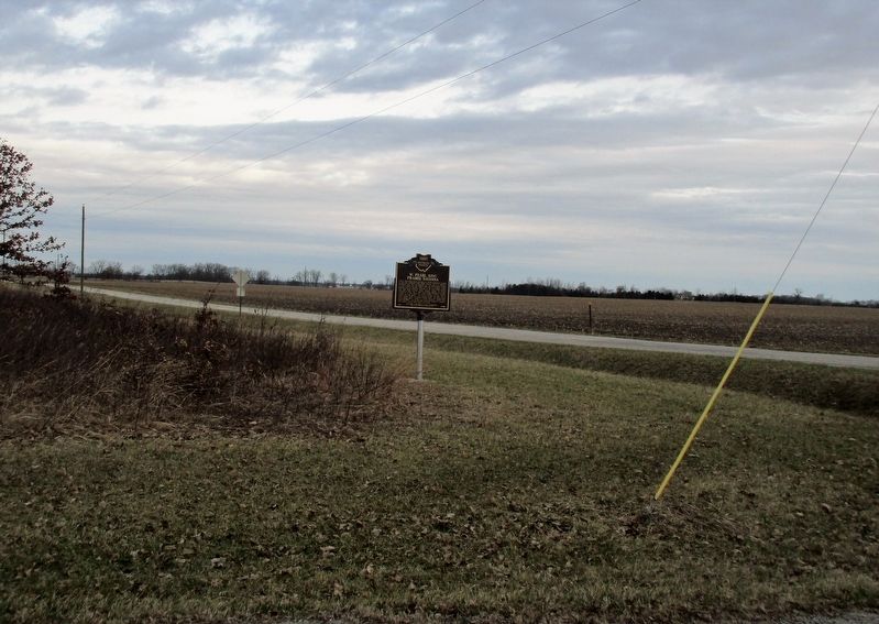
3. W. Pearl King Prairie Savanna Marker
marker at a distance, from David Brown Road, looking north
Photographed by Rev. Ronald Irick, February 28, 2018
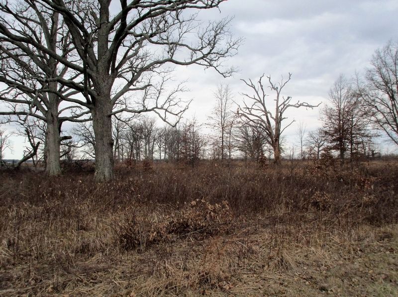
4. W. Pearl King Prairie Savanna
the great oaks of the savanna
Photographed by Rev. Ronald Irick, February 28, 2018
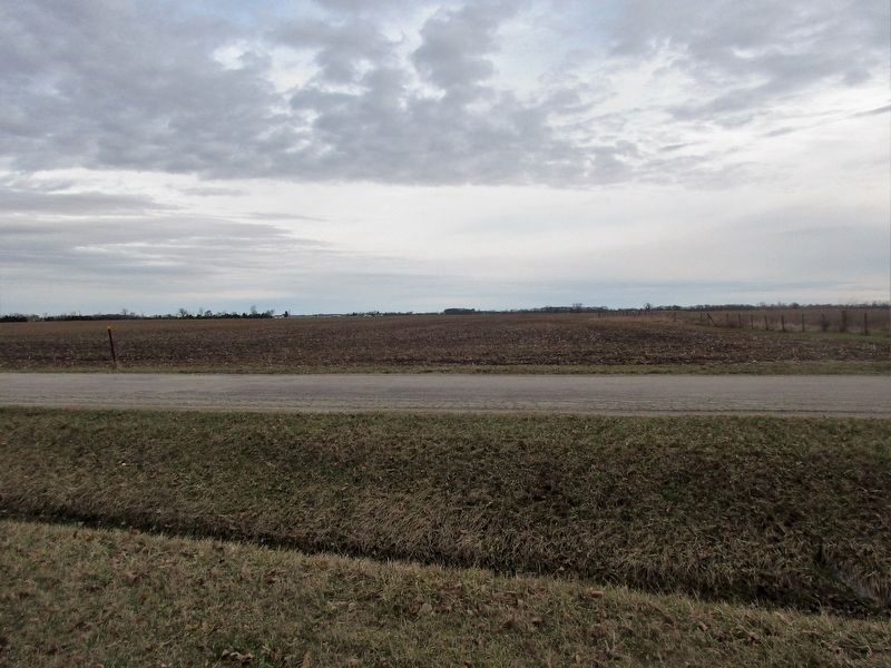
5. W. Pearl King Prairie Savanna
looking north across the Madison Plains
Credits. This page was last revised on May 21, 2018. It was originally submitted on February 28, 2018, by Rev. Ronald Irick of West Liberty, Ohio. This page has been viewed 1,261 times since then and 27 times this year. Photos: 1, 2, 3, 4, 5. submitted on February 28, 2018, by Rev. Ronald Irick of West Liberty, Ohio. • Bill Pfingsten was the editor who published this page.
