The Lenape Crossroads
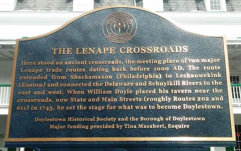
Here stood an ancient crossroads, the meeting place of two major Lenape trade routes dating back before 1000 AD. The route extended from Shackamaxon (Philadelphia) to Lechauwekink (Easton) and connected the Delaware and Schuylkill Rivers to the east and west. When William Doyle placed his tavern near the crossroads, now State and Main Streets (roughly Routes 202 and 611) in 1745, he set the stage for what was to become Doylestown.
Erected by Doylestown Historical Society, the Borough of Doylestown, and Tina Mazaheri.
Topics. This historical marker is listed in these topic lists: Colonial Era • Indigenous Peoples and Communities • Roads & Vehicles • Settlements & Settlers.
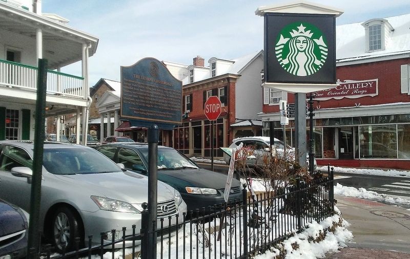
Location. 40° 18.6′ N, 75° 7.841′ W. Marker is in Doylestown, Pennsylvania, in Bucks County. It is at the intersection of Main Street and State Street, on the left when traveling north on Main Street. Touch for map. Marker is at or near this postal address: 10 North Main Street, Doylestown PA 18901, United States of America. Touch for directions.
Regionally, this marker is in Southeast
this page online
Other nearby markers. At least 8 other markers are within walking distance of this marker: 1748 Fountain House (a few steps from this marker); 104th Pennsylvania Infantry Regiment (about 400 feet away, measured in a direct line); Doylestown Fire Company No. 1 World War II Memorial (about 500 feet away); Bucks County Vietnam War Memorial (about 500 feet away); Bucks County Persian Gulf War Memorial (about 600 feet away); Bucks County World War II Memorial (about 600 feet away); Bucks County Korean War Memorial (about 600 feet away); Bucks County (about 800 feet away). Touch for a list and map of all markers in Doylestown.
Also see . . .
1. Native Americans: Lenni Lenape. (Submitted on March 3, 2018, by William Fischer, Jr. of Reynoldsburg, Ohio.)
2. Indian Trails in the Colonial Period.
Credits. This page was last revised on March 3, 2018. It was originally submitted on March 3, 2018, by William Fischer, Jr. of Reynoldsburg, Ohio. This page has been viewed 1,131 times since then and 72 times this year. Photos: 1, 2. submitted on March 3, 2018, by William Fischer, Jr. of Reynoldsburg, Ohio.
