Memphis in Shelby County, Tennessee — The American South (East South Central)
Islands No. 2, 3, and 4
⎯⎯⎯
Fort Jefferson, Kentucky
⎯⎯⎯
Bird’s Point, Missouri
Mississippi River Walk
Photographed by Jason Voigt, August 2, 2024
1. Islands No. 2, 3, and 4 / Fort Jefferson, Kentucky / Bird’s Point, Missouri Marker
Marker was replaced with one put up by Mud Island Park
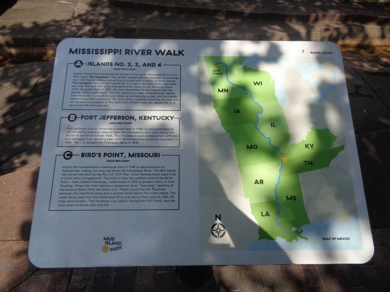
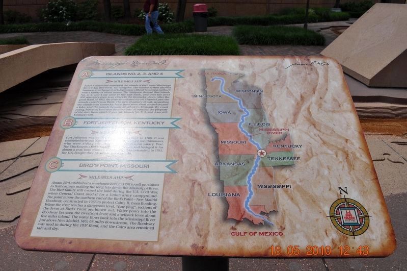
A) Islands No. 2, 3, and 4
Mile 940.5 AHP
Zadok Cramer first numbered the islands of the Lower Mississippi River in his 1801 book, The Navigator. The number system allowed boatmen to exchange river information without becoming confused with a variety of island names. The Navigator showed that Islands No. 2, 3, and 4 lay close to the east bank, and over the next 100 years they grew even closer to the Kentucky shore. After the great flood of 1927, the river abandoned its old channel past the islands, called Lucas Bend. The new channel cut east, separating the islands from Kentucky. Lucas Bend soon silted up and became a lake, and the islands became attached to Missouri. By court ruling, however, land that the river cuts off remains the property of the state from which it was cut. Islands No. 2, 3, and 4 are still Kentucky soil.
B) Fort Jefferson, Kentucky
Mile 950 AHP
Fort Jefferson was an American ... built in 1780. It was established to recruit Native American ... to fight the Chickasaws, who were aiding the British in the Revolutionary War. The Chickasaw soon attacked Fort Jefferson and besieged it for almost
this page online
C) Bird’s Point, Missouri
Mile 953.5 AHP
Abram Bird established a warehouse here in 1798 to sell provisions to flatboatmen making the long trip down the Mississippi River. The Bird family still owned the land during the U.S. Civil War, when General Grant used it for a Union army campground. The point is now the northern end of the Bird's Point - New Madrid Floodway, constructed in 1933 to protect Cairo, IL from flooding. When the river reaches a dangerous level, "fuse plug," sections of the levee at Bird's Point are blown out. Water pours into the floodway between the riverfront levee and a setback levee about five miles inland. The water flows back into the Mississippi River just above New Madrid, MO, 65 miles downstream. The floodway was used in during the 1937 flood, and the Cairo area remained safe and dry.
Erected by Mississippi Riverwalk. (Marker Number 64.)
Topics and series. This historical marker is listed in these topic lists: Forts and Castles • Indigenous Peoples and Communities • War, US Civil
Photographed by Sandra Hughes, May 18, 2010
2. Islands No. 2, 3, and 4/Fort Jefferson, Kentucky/Bird’s Point, Missouri Marker
Location. 35° 8.991′ N, 90° 3.499′ W. Marker is in Memphis, Tennessee, in Shelby County. It can be reached from Island Drive 0.8 miles south of West A.W. Willis Avenue when traveling south. Located in Mud Island Park. Touch for map. Marker is at or near this postal address: 125 N Front Street, Memphis TN 38103, United States of America. Touch for directions.

Regionally, this marker is in West Tennessee. It is also in the American South, specifically in the Deep South, in the Upper South, in the Mississippi Delta, and in the Great River Road Region. Globally, it is in North America, the Western Hemisphere, the Western World, and the Anglosphere. Historically, it finds itself in what was once the territory of the Mississippian Culture, one of the Confederate States of America, and the Antebellum South.
Other nearby markers. At least 8 other markers are within walking distance of this marker: Island No. 5 (Wolf Island)/Belmont, Missouri/Columbus, Kentucky
Photographed by Jason Voigt, August 2, 2024
3. Islands No. 2, 3, and 4 / Fort Jefferson, Kentucky / Bird’s Point, Missouri Marker
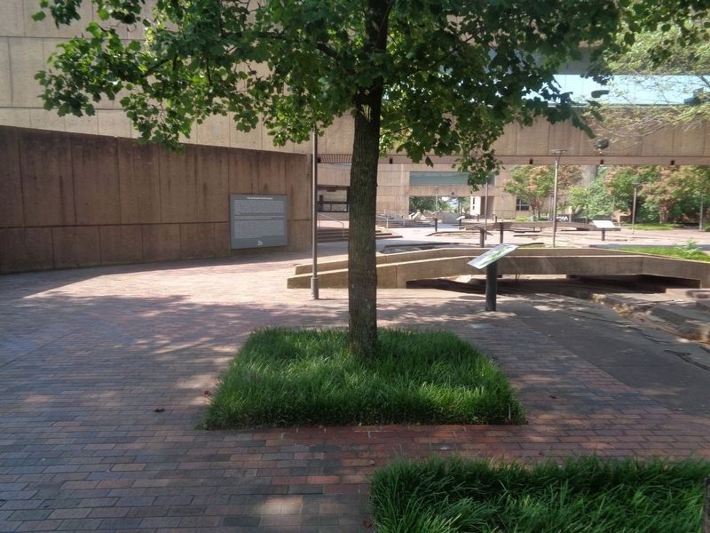
Marker is under the tree
Credits. This page was last revised on August 14, 2024. It was originally submitted on March 8, 2018, by Sandra Hughes Tidwell of Killen, Alabama, USA. This page has been viewed 1,502 times since then and 67 times this year. Photos: 1. submitted on August 14, 2024, by Jason Voigt of Glen Carbon, Illinois. 2. submitted on March 8, 2018, by Sandra Hughes Tidwell of Killen, Alabama, USA. 3. submitted on August 14, 2024, by Jason Voigt of Glen Carbon, Illinois. • Bernard Fisher was the editor who published this page.
