Bayou Teche
Sovereign Nation of the Chitimacha
— Atchafalaya Water Heritage Trail —
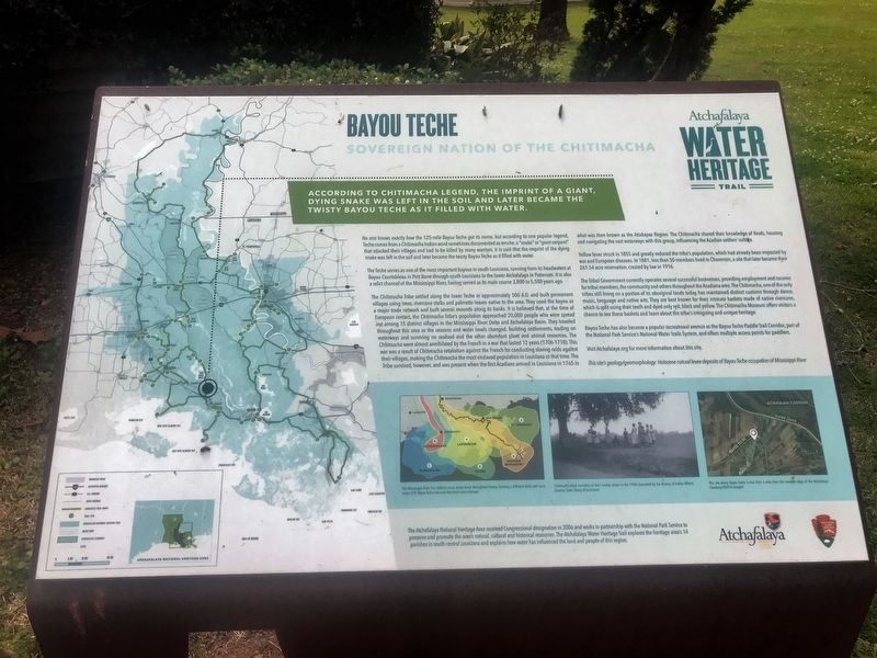
According to Chitimacha legend, the imprint of a giant dying snake was left in the soil, and later became the twisty Bayou Teche as it filled in with water.
No one knows exactly how the 125-mile Bayou Teche got its name, but according to one popular legend, Teche comes from a Chitimacha Indian word sometimes documented as tenche, a “snake” or “giant serpent” that attacked their villages and had to be killed by many warriors. It is said that the imprint of the dying snake was left in the soil and later became the twisty Bayou Teche as it filled with water.
The Teche serves as one of the most important bayous in south Louisiana, running from its headwaters at Bayou Courtableau in Port Barre through south Louisiana to the lower Atchafalaya in Patterson. It is also a relict channel of the Mississippi River, having served as its main course 3,800 to 5,500 years ago.
The Chitimacha Tribe settled along the lower Teche in approximately 500 A.D. and built permanent villages using trees, rivercane stalks and palmetto leaves native to the area. They used the bayou as a major trade network and built several mounds along its banks. It is believed that, at the time of European contact, the Chitimacha Tribe’s population approached 20,000 people who were spread out among 15 distinct villages in the Mississippi
River Delta and Atchafalaya Basin. They traveled throughout this area as the seasons and water levels changed, building settlements, trading on waterways and surviving on seafood and the other abundant plant and animal resources. The Chitimacha were almost annihilated by the French in a war that lasted 12 years (1706-1718). This war was a result of Chitimacha retaliation against the French for conducting slaving raids against their villages, making the Chitimacha the most enslaved population in Louisiana at that time. The Tribe survived, however, and was present when the first Acadians arrived in Louisiana in 1765 in what was then known as the Attakapas Region. The Chitimacha shared their knowledge of foods, housing and navigating the vast waterways with this group, influencing the Acadian settlers’ culture.Yellow fever struck in 1855 and greatly reduced the tribe’s population, which had already been impacted by war and European diseases. In 1881, less than 50 members lived in Charenton, a site that later became their 261.54 acre reservation, created by law in 1916.
The Tribal Government currently operates several successful businesses, providing employment and income for tribal members, the community and others throughout the Acadiana area. The Chitimacha, one of the only tribes still living on a portion of its aboriginal lands today, has maintained distinct customs
through dance, music, language and native arts. They are best known for their intricate baskets made of native rivercane, which is split using their teeth and dyed only red, black and yellow. The Chitimacha Museum offers visitors a chance to see these baskets and learn about the tribe’s intriguing and unique heritage.Bayou Teche has also become a popular recreational avenue as the Bayou Teche Paddle Trail Corridor, part of the National Park Service’s National Water Trails System, and offers multiple access points for paddlers.
Visit Atchafalaya.org for more information about this site.
This site’s geology/geomorphology: Holocene natural levee deposits of Bayou Teche occupation of Mississippi River.
Erected by State of Louisiana and National Park Service.
Topics and series. This historical marker is listed in these topic lists: Environment • Native Americans • Waterways & Vessels. In addition, it is included in the Atchafalaya Water Heritage Trail series list.
Location. 29° 53.277′ N, 91° 31.688′ W. Marker is in Charenton, Louisiana, in St. Mary Parish. Marker is on Chitimacha Trail (Parish Road 36) near Chitimacha Loop, on the right when traveling south. Touch for map. Marker is at or near this postal address: 3289 Chitimacha Trail, Charenton LA 70523, United States of America. Touch for directions.
Other nearby markers.
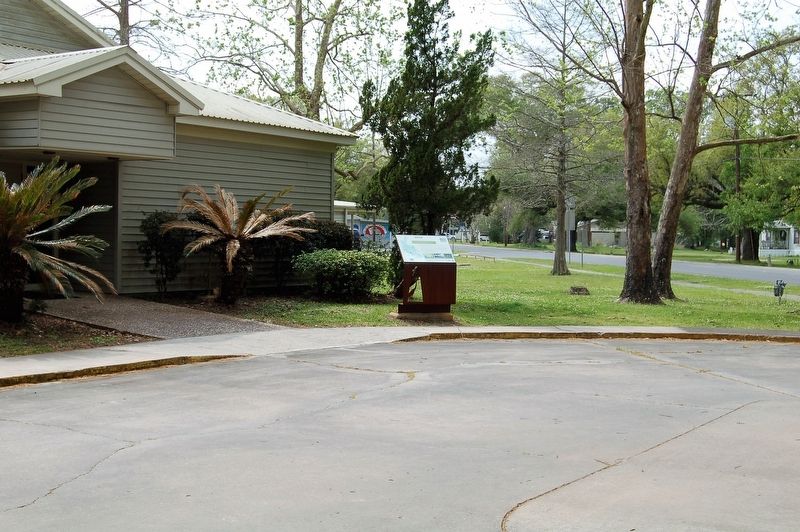
More about this marker. Located in front of the Chitimacha Museum.
Credits. This page was last revised on February 25, 2024. It was originally submitted on March 18, 2018, by Cajun Scrambler of Assumption, Louisiana. This page has been viewed 469 times since then and 22 times this year. Photos: 1, 2. submitted on March 18, 2018.

