Old Town West in Alexandria, Virginia — The American South (Mid-Atlantic)
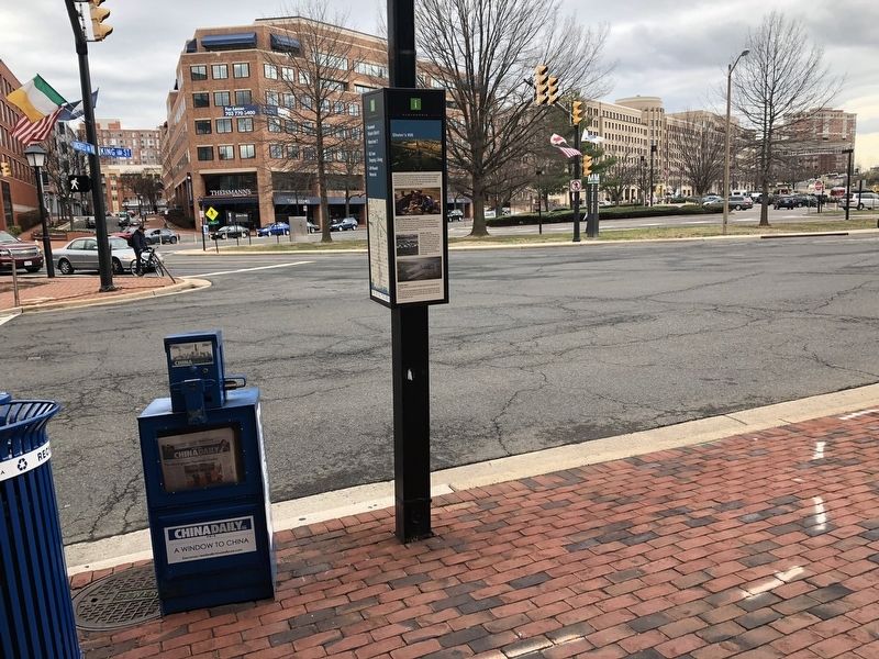
Shuter's Hill
City of Alexandria Est. 1749
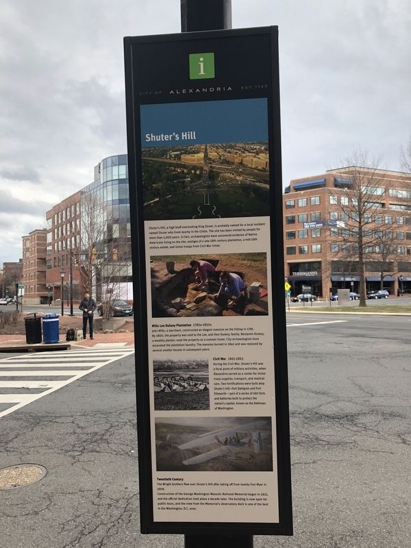
Mills Lee Dulany Plantation 1780s-1850s
John Mills, a merchant, constructed an elegant mansion on the hilltop in 1781. By 1800, the property was sold to the Lee, and then Dulany, family. Benjamin Dulany, a wealthy planter, used the property as a summer home. City archaeologists have excavated the plantation laundry. The mansion burned in 1842 and was replaced by several smaller houses in subsequent years.
Civil War 1861-1865
During the Civil War, Shuter's Hill was a focal point of military activities, when Alexandria served as a center for Union troop supplies, transport, and medical care. Two fortifications were built atop Shuter's Hill--Fort Dahigren and Fort Ellsworth -- part of a series of 160 forts and batteries built
this page online
Twentieth Century
The Wright brothers flew over Shuter's Hill after taking off from nearby Fort Myer in 1909.
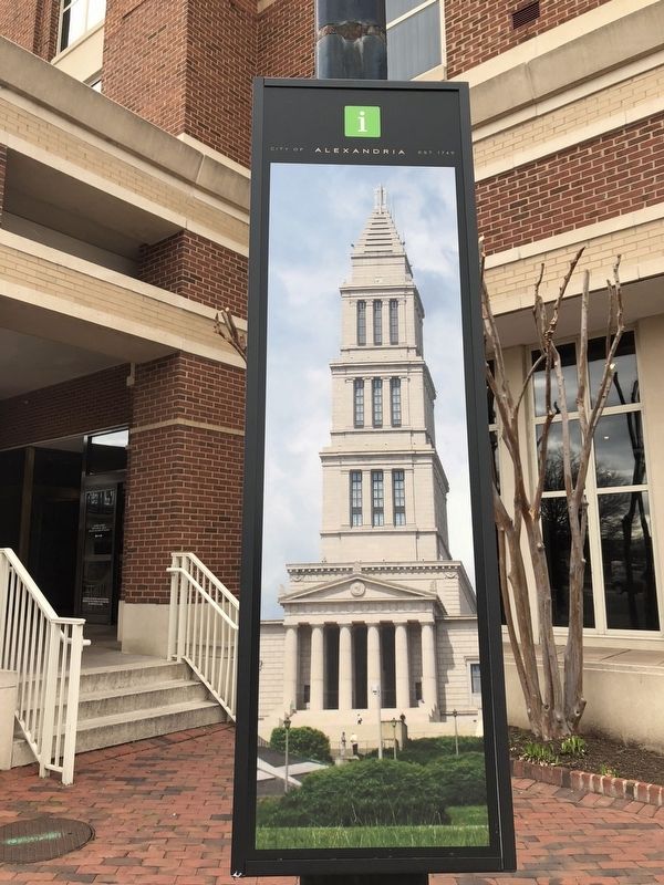
Construction of the George Washington National Memorial began in 1922, and the official dedication took place a decade later. The building is now open for public tours, and the view from the Memorial's observatory deck is one of the best in the Washington, D.C. area.
Erected by City of Alexandria.
Topics and series. This historical marker is listed in these topic lists: Air & Space • Anthropology & Archaeology • Indigenous Peoples and Communities • Notable Places • War, US Civil. In addition, it is included in the Virginia, The City of Alexandria series list.
Location. 38° 48.407′ N, 77° 3.584′ W. Marker is in Alexandria, Virginia. It is in Old Town West. It is at the intersection of King Street (Virginia Route 7) and Commonwealth Avenue on King Street. Touch for map. Marker is at or near this postal address: 1787 Commonwealth Avenue, Alexandria VA 22301, United States of
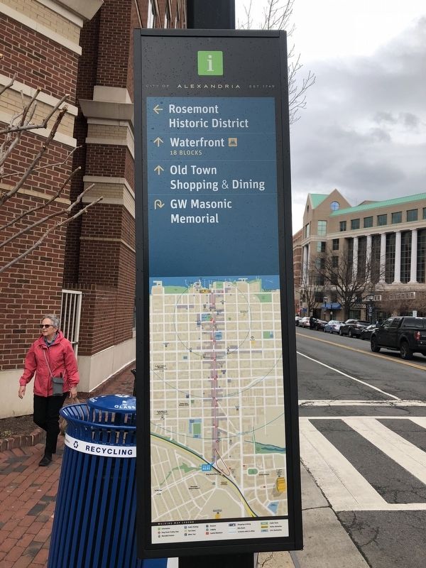

Regionally, this marker is in the Washington Metropolitan Area and in Northern Virginia. It is also in the American South, specifically in the Upper South, in the Mid-Atlantic, and on the Eastern Seaboard. Globally, it is in the North Atlantic Region, North America, the Western Hemisphere, the Western World, and the Anglosphere. Historically, it finds itself in what was once the territory of the Mississippian Culture, one of the original Thirteen Colonies, one of the Confederate States of America, and the Antebellum South.
Other nearby markers. At least 8 other markers are within walking distance of this marker: King Street Gardens Park (about 300 feet away, measured in a direct line); Shuter's Hill and the West End (about 400 feet away); Alexandria in the Civil War (about 700 feet away); World War I Memorial (about 800 feet away); Alexandria War Memorial (about 800 feet away); Veterans Memorial (about 800 feet away); All Aboard at Alexandria Union Station (about 800 feet away); Vietnam War Memorial (about 800 feet away). Touch for a list and map of all markers in Alexandria.
Other
Credits. This page was last revised on January 28, 2023. It was originally submitted on April 1, 2018, by Devry Becker Jones of Washington, District of Columbia. This page has been viewed 1,200 times since then and 69 times this year. Photos: 1, 2, 3, 4, 5. submitted on April 1, 2018, by Devry Becker Jones of Washington, District of Columbia. • Bernard Fisher was the editor who published this page.
