
the man from k̓ašxəʼkšix returned with eels to feed his people
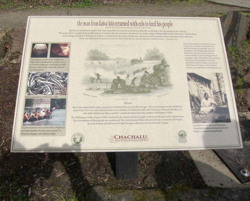
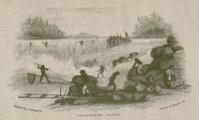
Since time immemorial, people have the area of Lake Oswego. The city encompasses the traditional land of the Clow-we-wal-la Band of Tum-water Indians of Willamette Falls, the Clackamas Chinook from the east side of the Willamette River, and the Tualitin Kalapuya from the Northern Willamette Valley.
The Willamette Valley Treaty of 1855, resulted in the removal of these people to the Grande Ronde Indian Reservation. The descendants of these people are members of The Confederated Tribes of Grand Ronde Community of Oregon, located an hour and half west of Lake Oswego in the town of Grande Ronde, Oregon.
(Sidebar:)
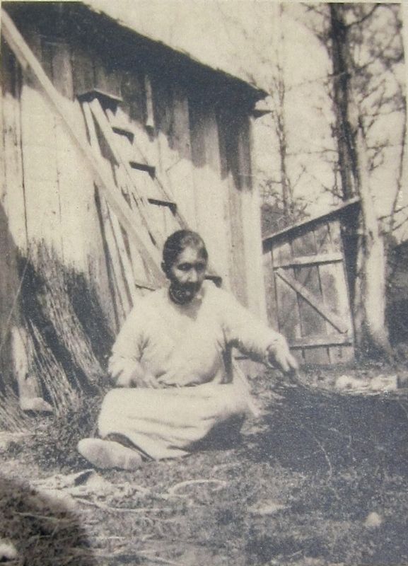
Victoria Howard was a Molalla/Clackamas woman who was born at Grand Ronde in 1865. She became an invaluable source of information for Anthropologist
this page online
Erected by Chachalu Tribal Museum and Cultural Center, City of Lake Oswego.
Topics. This historical marker is listed in these topic lists: Anthropology & Archaeology • Arts, Letters, Music • Indigenous Peoples and Communities • Women. A significant historical year for this entry is 1855.
Location. 45° 24.615′ N, 122° 39.595′ W. Marker is in Lake Oswego, Oregon, in Clackamas County. It can be reached from Old River Road south of Furnace Road. Touch for map. Marker is in this post office area: Lake Oswego OR 97034, United States of America. Touch for directions.

Regionally, this marker is in the Willamette Valley and in Greater Portland Area. It is also on the American Pacific Coast, in the Pacific Northwest, and in the Lewis & Clark Corridor. Globally, it is in North America, in the Cascade Range, on the Ring of Fire, in the Pacific Rim, in the Western Hemisphere, in the Western World, and in the Anglosphere.
Other nearby markers. At least 8 other markers are within walking distance of this marker:
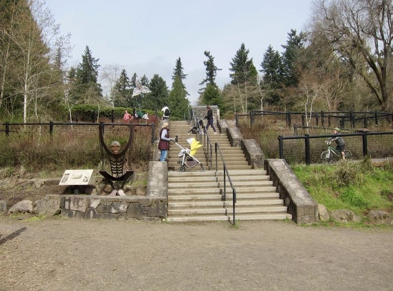
More about this marker. The marker is found in George Rogers Park, at the bottom of the stairway that leads to the landing and Willamette River.
Credits. This page was last revised on April 18, 2018. It was originally submitted on April 11, 2018, by Andrew Ruppenstein of Lamorinda, California. This page has been viewed 530 times since then and 38 times this year. Photos: 1, 2, 3, 4, 5. submitted on April 11, 2018, by Andrew Ruppenstein of Lamorinda, California.
