St. Simons Island in Glynn County, Georgia — The American South (South Atlantic)
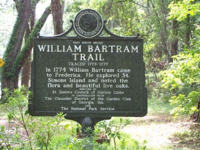
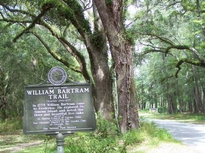
William Bartram Trail
Traced 1773-1777
— Deep South Region —
Erected by St. Simons Council of Garden Clubs in cooperation with the Oleander District of the Garden Club of Georgia , Inc. and the National Park Service.
Topics and series. This historical marker is listed in these topic lists: Colonial Era • Environment • Exploration • Horticulture & Forestry • Science & Medicine. In addition, it is included in the William Bartram Trails series list. A significant historical year for this entry is 1774.
Location. 31° 13.338′ N, 81° 23.19′ W. Marker is on St. Simons Island, Georgia, in Glynn County. Marker is on Mimosa Dr, on the left when traveling west. Between Plemmons Dr & Frederica Rd past the entrance to Fort Frederica. Touch for map. Marker is in this post office area: Saint Simons Island GA 31522, United States of America. Touch for directions.
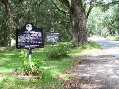
Other nearby markers. At least 8 other markers are within walking distance of this marker. The Georgia Navy (here, next to this marker); St. Simons Island (a few steps from this marker); Reverends John & Charles Wesley / Wesley Memorial Garden (within shouting distance of this marker); Frederica - Military Road (about 800 feet away, measured in a direct line); Frederica - Old Burial Ground (approx. 0.2 miles away); Christ Episcopal Church (approx. 0.2 miles away); The Wesley Oak (approx. 0.2 miles away); Strong Walls From Refuse (approx. 0.2 miles away). Touch for a list and map of all markers in St. Simons Island.
Also see . . .
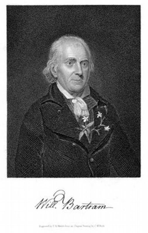
1. William Bartram. Official Site of the Bartram Trail Conference (Submitted on January 18, 2021, by Larry Gertner of New York, New York.)
2. Bartram Trial. Wikipedia entry (Submitted on January 18, 2021, by Larry Gertner of New York, New York.)
Credits. This page was last revised on January 18, 2021. It was originally submitted on September 21, 2008, by Mike Stroud of Bluffton, South Carolina. This page has been viewed 2,057 times since then and 34 times this year. Photos: 1, 2, 3. submitted on September 21, 2008, by Mike Stroud of Bluffton, South Carolina. 4. submitted on January 18, 2021, by Larry Gertner of New York, New York. • Bill Pfingsten was the editor who published this page.


