Near Philipsburg in Clearfield County, Pennsylvania — The American Northeast (Mid-Atlantic)
Kyler Homestead
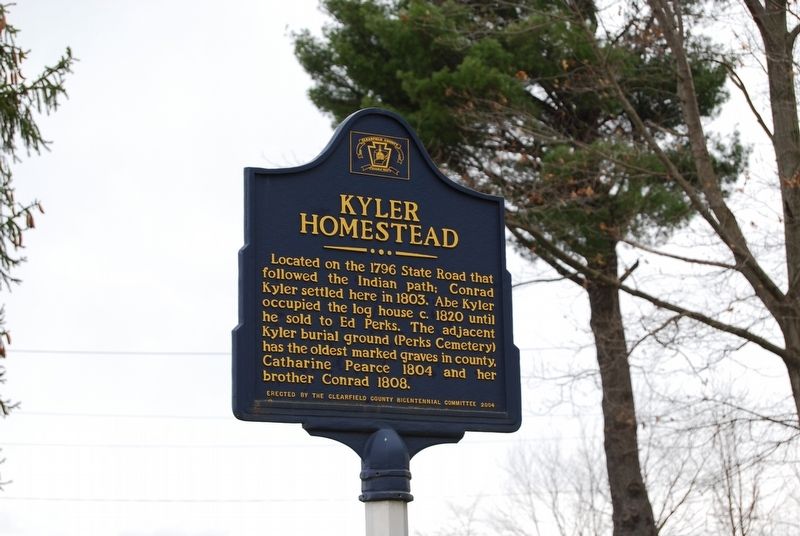
Photographed by Mike Wintermantel, April 27, 2018
1. Kyler Homestead Marker
Erected 2004 by Clearfield County Bicentennial Committee.
Topics. This historical marker is listed in these topic lists: Cemeteries & Burial Sites • Indigenous Peoples and Communities • Roads & Vehicles • Settlements & Settlers. A significant historical year for this entry is 1796.
Location. 40° 55.502′ N, 78° 14.231′ W. Marker is near Philipsburg, Pennsylvania, in Clearfield County. It is at the intersection of Troy Hill Road and Morrisdale Dam Road, on the right when traveling north on Troy Hill Road. Touch for map. Marker is at or near this postal address: 893 Morrisdale Dam Rd, Philipsburg PA 16866, United States of America. Touch for directions.

Regionally, this marker is in the Pennsylvania Wilds. It is also in the American Northeast, in the Mid-Atlantic, in Appalachia, and specifically in
this page online
Other nearby markers. At least 8 other markers are within 6 miles of this marker, measured as the crow flies: John Henry Simler House (approx. 2.1 miles away); Union Church (approx. 2.1 miles away); Halehurst (approx. 2.1 miles away); Philipsburg (approx. 2.2 miles away); Indian Paths (approx. 4½ miles away); Boggs Township (approx. 5 miles away); Osceola Mills (approx. 5.3 miles away); War Memorial (approx. 5.6 miles away). Touch for a list and map of all markers in Philipsburg.
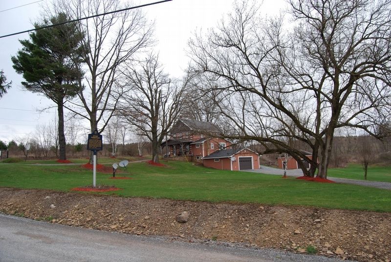
Photographed by Mike Wintermantel, April 27, 2018
2. Kyler Homestead Marker
Credits. This page was last revised on December 25, 2020. It was originally submitted on April 29, 2018, by Mike Wintermantel of Pittsburgh, Pennsylvania. This page has been viewed 1,155 times since then and 74 times this year. Photos: 1, 2. submitted on April 29, 2018, by Mike Wintermantel of Pittsburgh, Pennsylvania.
