Fredericksburg in Gillespie County, Texas — The American South (West South Central)
The Comanche Indians
Photographed by Cosmos Mariner, May 23, 2018
1. The Comanche Indians Marker
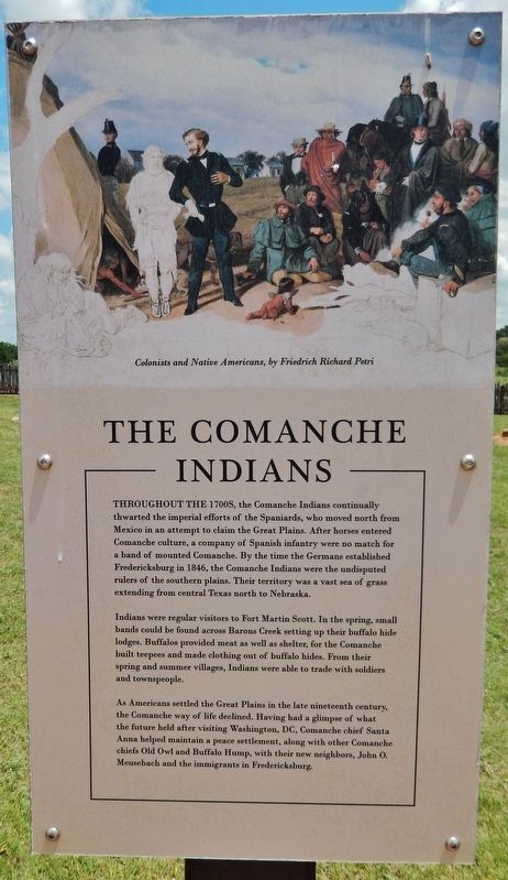
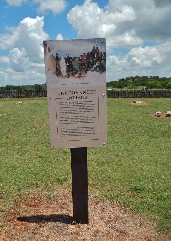
Throughout the 1700s, the Comanche Indians continually thwarted the imperial efforts of the Spaniards, who moved north from Mexico in an attempt to claim the Great Plains. After horses entered Comanche culture, a company of Spanish infantry were no match for a band of mounted Comanche. By the time the Germans established Fredericksburg in 1846, the Comanche Indians were the undisputed rulers of the southern plains. Their territory was a vast sea of grass extending from central Texas north to Nebraska.
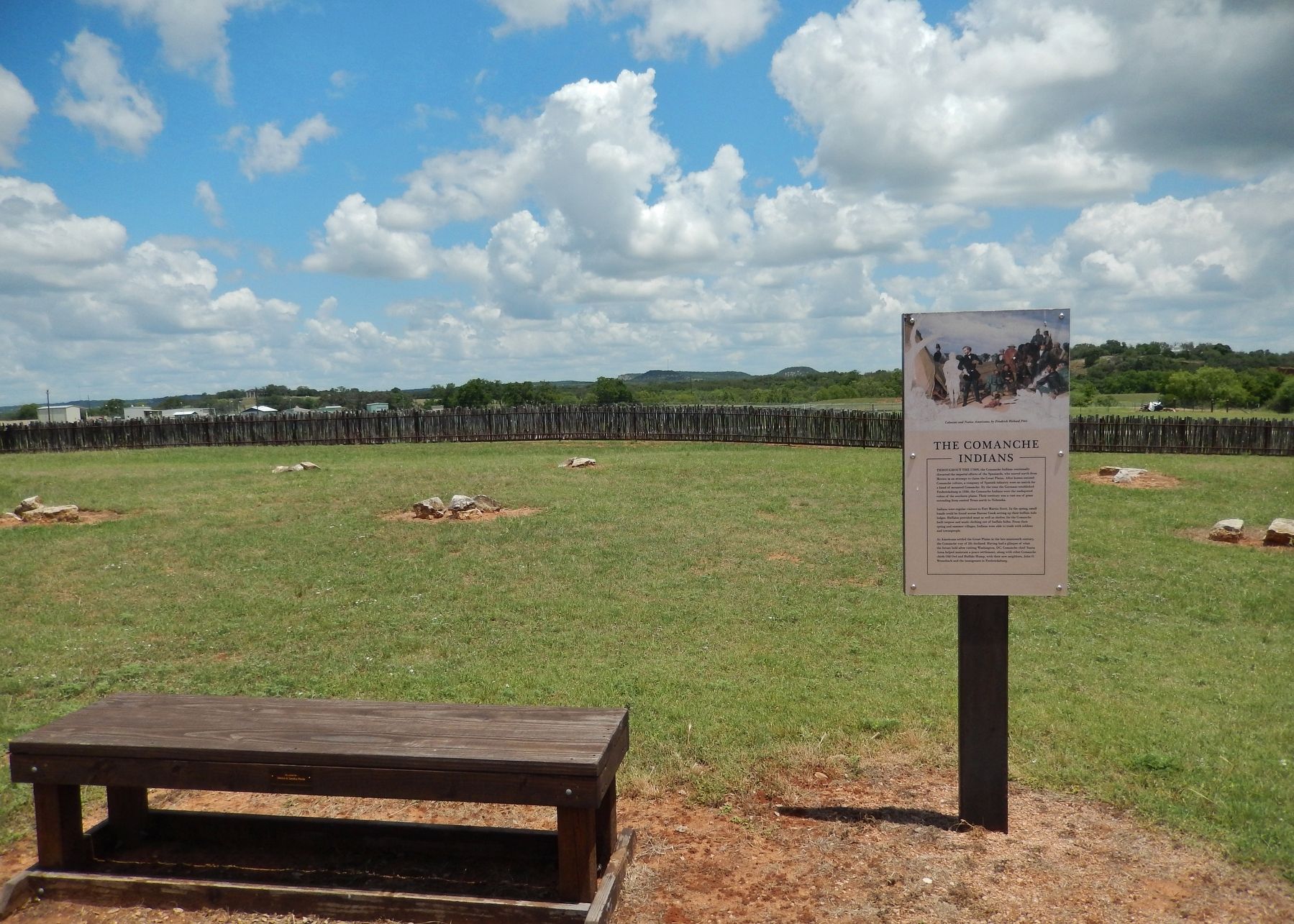
Indians were regular visitors to Fort Martin Scott. In the spring, small bands could be found across Barons Creek setting up their buffalo hide lodges. Buffalos provided meat as well as shelter, for the Comanche built teepees and made clothing out of buffalo hides. From their spring and summer villages, Indians were able to trade with soldiers and townspeople.
As Americans settled the Great Plains in the late nineteenth century, the Comanche way of life declined. Having had a glimpse of what the future held after visiting Washington, DC, Comanche chief Santa Anna helped maintain a peace settlement, along with other Comanche chiefs Old Owl and Buffalo Hump, with their new neighbors, John O. Meusebach and the immigrants in Fredericksburg.
Topics. This historical marker is listed in these topic lists: Forts and Castles • Indigenous Peoples and Communities • Settlements & Settlers • Wars, US Indian.
Location. 30° 14.984′ N, 98° 50.793′ W. Marker is in Fredericksburg, Texas, in Gillespie County. It can be reached from East Main Street (Highway 290) 0.2 miles west of Heritage Hills Drive, on the right when traveling west. Marker is located within the Fort Martin Scott parade grounds. Touch for map. Marker is at or near this postal address: 1606
this page online

Regionally, this marker is in the Hill Country. Globally, it is in North America, a Gulf of Mexico state, the Western Hemisphere, the Western World, and the Anglosphere. Historically, it finds itself in what was once New Spain, the Republic of Texas, and one of the Confederate States of America.
Other nearby markers. At least 8 other markers are within walking distance of this marker: The Town and the Fort (a few steps from this marker); Officers Row (within shouting distance of this marker); Commanding the Fort (within shouting distance of this marker); Site of Fort Martin Scott (within shouting distance of this marker); The Artists (within shouting distance of this marker); Uncovering the Past (within shouting distance of this marker); The Barracks (about 300 feet away, measured in a direct line); Fort Martin Scott Memorial (about 300 feet away). Touch for a list and map of all markers in Fredericksburg.
Regarding The Comanche Indians. Fort Martin Scott is a restored United States Army outpost in Fredericksburg, Texas, that was active
Photographed by Cosmos Mariner, May 23, 2018
2. The Comanche Indians Marker (tall view)
Related markers. Click here for a list of markers that are related to this marker. Fort Martin Scott
Also see . . . Fort Martin Scott. Texas State Historical Association website entry:
Camp Houston, or "the Camp near Fredericksburg," began with two companies, originally both infantry, then alternated between a company of infantry and one of dragoons. The German settlers in Fredericksburg had established a lasting treaty with the local Comanches in 1847; the influx of more settlers into the rich valleys of the Pedernales and its tributaries led to skirmishes but not open warfare. The Eighth Military Department renamed the camp in December 1849 for Maj. Martin Scott (Fifth United States Infantry), who was killed at the battle of Molina del Rey in 1847. (Submitted on June 8, 2018, by Cosmos Mariner of Cape Canaveral, Florida.)
Photographed by Cosmos Mariner, May 23, 2018
3. The Comanche Indians Marker (wide view)
Credits. This page was last revised on January 16, 2025. It was originally submitted on June 8, 2018, by Cosmos Mariner of Cape Canaveral, Florida. This page has been viewed 1,804 times since then and 90 times this year. Photos: 1, 2, 3. submitted on June 8, 2018, by Cosmos Mariner of Cape Canaveral, Florida. • Bernard Fisher was the editor who published this page.
