La Mesilla in Tecozautla, Hidalgo, Mexico — The Central Highlands (North America)
The Sacred Landscape
El paisaje sagrado
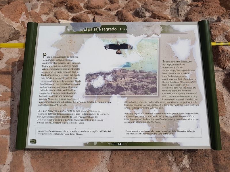
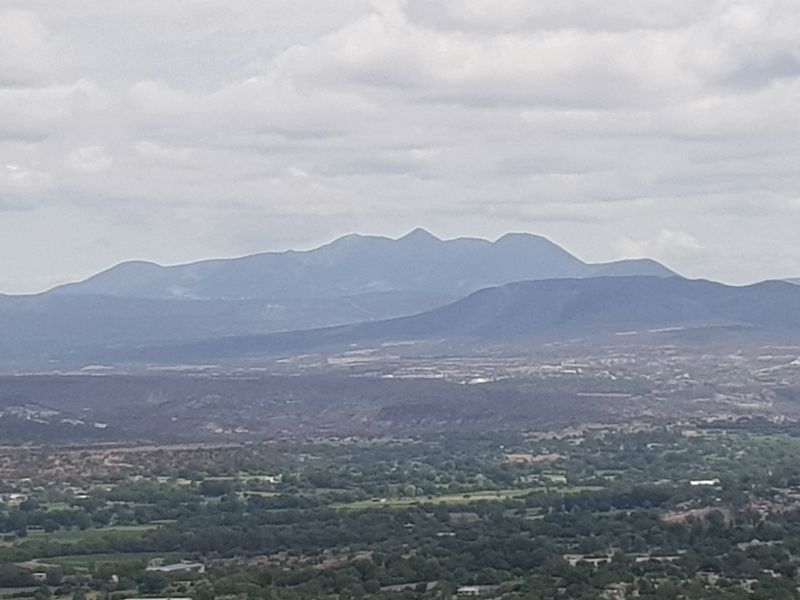
Para la consagración de la mesa, los primeros sacerdotes Xajay realizaron observaciones del entorno. Dos grandes cerros pudieron haber sido los marcadores para identificar la mesa como un lugar propicio para la fundación. Al norte, el cerro del Águila que, desde la perspectiva de la zona ceremonial adquiere la forma del águila fundacional, el quebrantahuesos (Nxuni en hñahñu) que representa al sol, que extendiendo sus alas y volteando la cabeza hacia un lado indicaba dónde había de realizarse una fundación sagrada. Al sureste, el cerro Coatepec, el lugar donde habitaba la Coatlicue (La señora de la falda de serpientes) y nació Huitzilopochtli (el Sol).
La región Xajay y la región al norte de Tula se convirtieron en el escenario del mito del nacimiento del dios Huitzilopochtli, de la muerte de Coyolxauhqui y de la derrota de los Cenzohuiznahuac (los Cuatrocientos Surianos) por parte de Huitzilopochtli, quien estaba armado con la Xiuhcóatl, la Serpiente de Fuego.
Estos mitos fundacionales dieron el antiguo nombre a la región del Valle del Mezquital: la Teotlalpan, la Tierra de los Dioses.
The sacred landscape
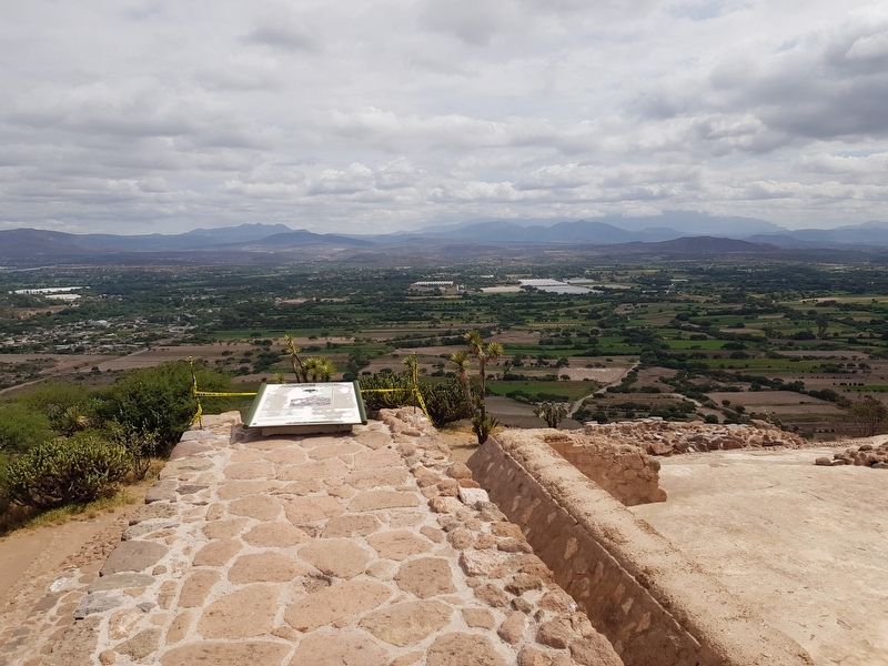
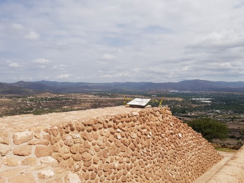
To consecrate the plateau, the first Xajay priests made observations of their surroundings. Two large hills may have been the landmarks to identify the plateau as an auspicious spot for its founding. In the north is Eagle Mountain, which from the perspective of the ceremonial zone has the shape of a founding eagle, the Northern Crested Caracara (Nxuni in Hñahñu) which represents the sun, extending its wings and turning its head to one side indicating where to perform the sacred founding. In the southeast is the Coatepec Mountain, where Coatlicue lived (the "lady with the snake skirt" and where Huitzilopochtli (the Sun) was born.
The Xajay region and northern Tula became the mythical scene of the birth of the Huitzilopochtli gods, the death of Coyolxauhqui and the defeat of the Cenzohuiznahuac (the four Hundred Southerners) by Huitzilopochtli, who was armed with a Xiuhcóatl, the Fire Snake.
These founding myths are what gave the region of the Mezquital Valley its ancient name: the Teotlalpan, the Land of the Gods.
Erected by Consejo Nacional para la Cultura y las Artes (CONACULTA) y el Instituto Nacional de Anthropología e Historia (INAH).
Topics. This historical marker is listed in these topic lists: Anthropology & Archaeology
• Churches & Religion • Man-Made Features • Native Americans. A significant historical year for this entry is 1500.
Location. 20° 30.346′ N, 99° 41.089′ W. Marker is in La Mesilla, Hidalgo, in Tecozautla. Marker can be reached from Entrada del Sitio Arqueológico de Pahñu, in the median. The marker is at the highest point of the Pyramid of the Sun at Pahñu. Touch for map. Marker is in this post office area: La Mesilla HGO 42460, Mexico. Touch for directions.
Other nearby markers. At least 8 other markers are within walking distance of this marker. Pyramid on Pyramid: the South Steps (a few steps from this marker); The Path of the Sun (within shouting distance of this marker); Tecpan: “The Government House” (within shouting distance of this marker); The Plaza and the Xiuhtecuhtli Temple (within shouting distance of this marker); Tecpan: The Place of Duality (within shouting distance of this marker); The Calendar on the Landscape (within shouting distance of this marker); Circular Altar or Wheel of Sacrifice (Temalácatl) (within shouting distance of this marker); A Sacred Triangle and the Temple of the Sun (about 90 meters away, measured in a direct line). Touch for a list and map of all markers in La Mesilla.
Credits. This page was last revised on June 25, 2018. It was originally submitted on June 24, 2018, by J. Makali Bruton of Accra, Ghana. This page has been viewed 117 times since then and 9 times this year. Photos: 1, 2, 3, 4. submitted on June 24, 2018, by J. Makali Bruton of Accra, Ghana.


