Auditorium Circle in San Antonio in Bexar County, Texas — The American South (West South Central)
Navarro Street Bridge
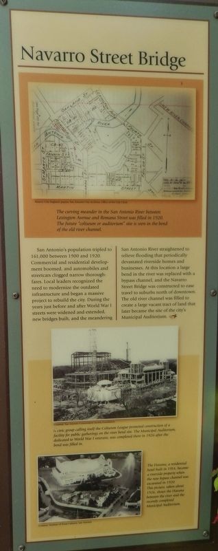
Photographed by Cosmos Mariner, May 21, 2018
1. Navarro Street Bridge Marker
Topics. This historical marker is listed in these topic lists: Bridges & Viaducts • Man-Made Features • Roads & Vehicles • Waterways & Vessels.
Location. 29° 25.863′ N, 98° 29.403′ W. Marker is in San Antonio, Texas, in Bexar County. It is in Auditorium Circle. It can be reached from Navarro Street north of Hagner Arc, on the right when traveling north. Marker is located on the San Antonio River Walk, on the north side of the river, halfway between the Navarro Street Bridge and the Richmond Avenue Bridge. Touch for map. Marker is in this post office area: San Antonio TX 78205, United States of America. Touch for directions.

Regionally, this marker is in South Texas. It is also in the American South. Globally, it is in North America, a Gulf of Mexico state, the Western Hemisphere, the Western World, and the Anglosphere. Historically, it finds itself in what was once New Spain, the Republic of Texas, and one
this page online
Other nearby markers. At least 8 other markers are within walking distance of this marker: The San Antonio River (here, next to this marker); Toltec Apartments (about 700 feet away); Mayor Maury Maverick Mural (about 700 feet away); The Hugman Dam (about 700 feet away); Missions in the San Antonio River Valley (about 800 feet away); a different marker also named The San Antonio River (about 800 feet away); The River in the 1900s (about 800 feet away); River Communities (about 800 feet away). Touch for a list and map of all markers in San Antonio.
Another marker is no longer nearby. Site of Rincon/Douglass School (was about 600 feet away, measured in a direct line but has been replaced with another marker now near it).
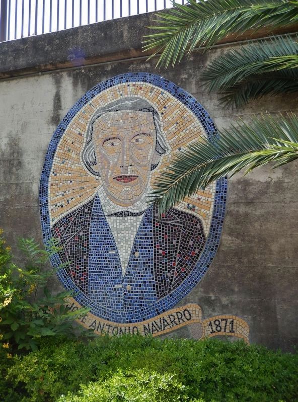
Also see . . . José Antonio Navarro. José Antonio Navarro (1795-1871) was a Texas statesman, revolutionary, rancher, and merchant. The son of Ángel Navarro and Josefa María Ruiz y Peña, he was born into a distinguished noble family at San Antonio de Béxar in the Viceroyalty of New Spain (now the American city of San Antonio, Texas). Navarro was proficient
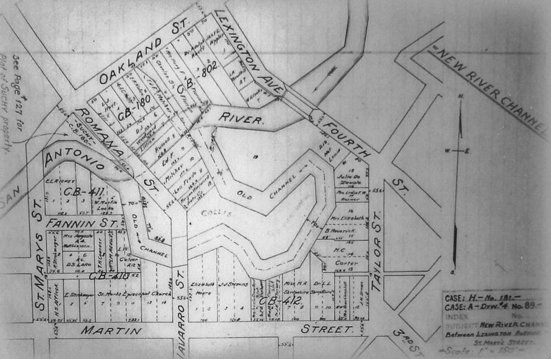
City Engineer papers, San Antonio City Archives, Office of the City Clerk
2. Marker detail: Future auditorium site in bend of river
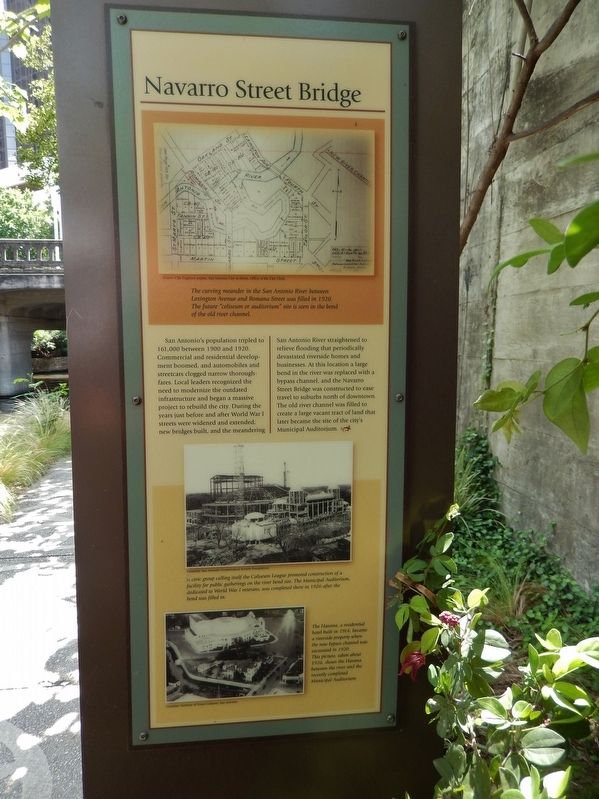
The curving meander in the San Antonio River between Lexington Avenue and Romana Street was filled in 1920. The future "coliseum or auditorium" site is seen in the bend of the old river channel.
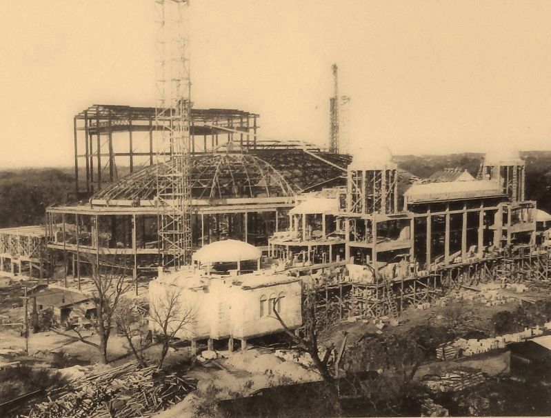
Photographed by Courtesy: San Antonio Conservation Society Foundation
3. Marker detail: Municipal Auditorium 1926
A civic group calling itself the Coliseum League promoted construction of a facility for public gatherings on the river bend site, The Municipal Auditorium, dedicated to World War I veterans, was completed there in 1926 after the bend was filled in.
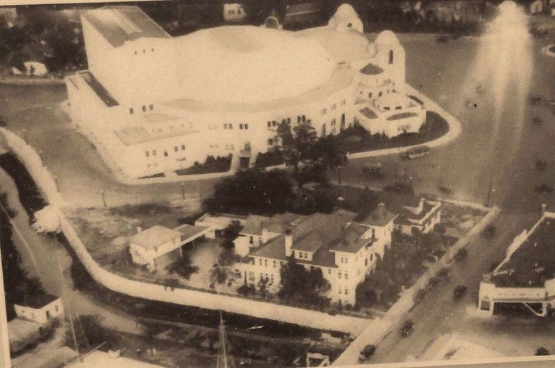
Photographed by Courtesy: Institute of Texas Cultures, San Antonio, 1914
4. Marker detail: The Havana, 1914
The Havana, a residential hotel built in 1914, became a riverside property when the new bypass channel was excavated in 1920. This picture, taken about 1926, shows the Havana between the river and the recently completed Municipal Auditorium.
Photographed by Cosmos Mariner, May 21, 2018
5. Navarro Street Bridge Marker (wide view; Navarro Street Bridge in background)
Photographed by Cosmos Mariner, May 21, 2018
6. Jose Antonio Navarro Mural (along River Walk, beside bridge)
Photographed by Cosmos Mariner, May 21, 2018
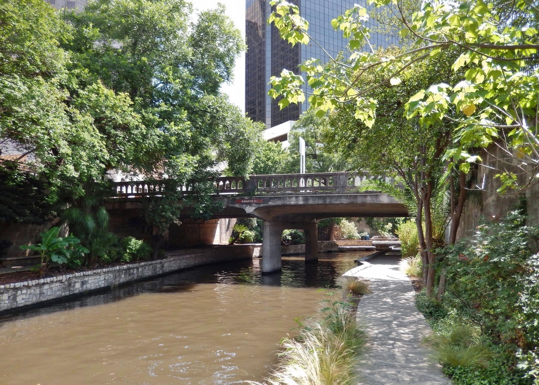
7. Navarro Street Bridge (view looking south from marker)
Credits. This page was last revised on February 2, 2023. It was originally submitted on July 2, 2018, by Cosmos Mariner of Cape Canaveral, Florida. This page has been viewed 1,142 times since then and 88 times this year. Photos: 1, 2, 3, 4, 5. submitted on July 2, 2018, by Cosmos Mariner of Cape Canaveral, Florida. 6. submitted on July 8, 2018, by Cosmos Mariner of Cape Canaveral, Florida. 7. submitted on July 2, 2018, by Cosmos Mariner of Cape Canaveral, Florida. • Andrew Ruppenstein was the editor who published this page.
