Near Canute in Washita County, Oklahoma — The American South (West South Central)
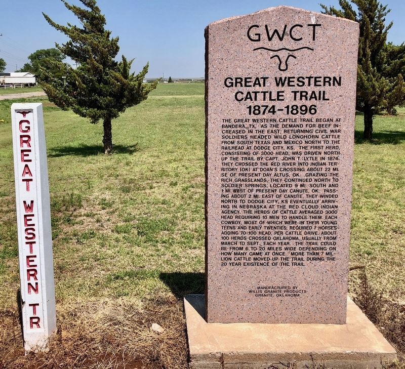
Great Western Cattle Trail
1874–1896
| — | GWCT | — |
Photographed by Mark Hilton, June 26, 2018
1. Great Western Cattle Trail Marker
The trail pole to the left was placed with other markers in 2007.
Erected 2010
this page online
Topics. This historical marker is listed in these topic lists: Animals • Indigenous Peoples and Communities • Roads & Vehicles • War, US Civil.
Location. 35° 25.309′ N, 99° 16.288′ W. Marker is near Canute, Oklahoma, in Washita County. It can be reached from Old U.S. 66 0.3 miles east of County Road N2080, in the median. Located near the Holy Family Cemetery. Touch for map. Marker is in this post office area: Canute OK 73626, United States of America. Touch for directions.

Regionally, this marker is in the Kiowa Tribe and in Southwest Oklahoma. It is also in the American South, specifically on the prairies, and on the Southern Plains. Globally, it is in North America, the Western Hemisphere, the Western World, and the Anglosphere. Historically, it finds itself in what was once the Comanchería, the territory of the Mississippian Culture, and the Louisiana Purchase.
Other nearby markers. At least 8 other markers are within 10 miles of this marker, measured as the crow flies: St. Francis Church (here, next to this marker); David Lee Walters
Photographed by Mark Hilton, June 26, 2018
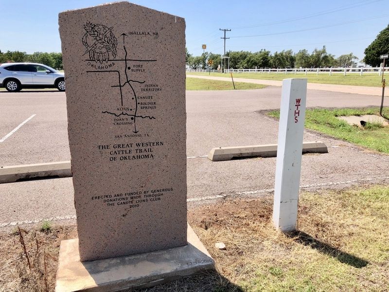
2. Rear of the Great Western Cattle Trail Of Oklahoma marker.
Also see . . . Wikipedia article on the Great Western Cattle Trail. (Submitted on July 11, 2018, by Mark Hilton of Montgomery, Alabama.)
Photographed by Mark Hilton, June 26, 2018
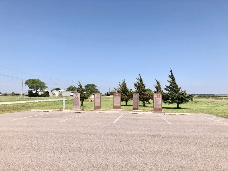
3. Great Western Cattle Trail Marker on far left.
Credits. This page was last revised on July 15, 2018. It was originally submitted on July 10, 2018, by Mark Hilton of Montgomery, Alabama. This page has been viewed 975 times since then and 86 times this year. Photos: 1, 2, 3. submitted on July 11, 2018, by Mark Hilton of Montgomery, Alabama.
