Montrose in Montrose County, Colorado — The American Mountains (Southwest)
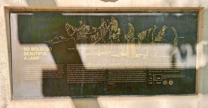
So Bold, So Beautiful a Land
Once Dominguez and Escalante left the trails of northern New Mexico, their route followed Indian trails, which in turn followed game trails. Fearing a lack of water and forage for their livestock, the padres abandoned the most direct route west from Dove Creek and returned to the Dolores River. When confronted with the obstacle of the Dolores Canyon, they turned east, seeking a guide from the Ute Indians. Water influenced their direction again in northwestern Colorado when their Ute guide, Sylvestre, led the expedition far to the north to one of the few safe crossings of the Green River.
Although dependent on Indian guides, Dominguez and Escalante were fortunate to have in their company Don Bernardo Miera y Pacheco, a retired captain of the Santa Fe militia and an accomplished cartographer, artist, engineer, and explorer. For thirty years Miera had lived on the Spanish frontier for the personal glory of exploring and mapping new lands for his King's empire. Throughout the expedition Miera measured the latitude with an astrolabe, a primitive forerunner of the sextant. On his return to Santa Fe, he prepared the first comprehensive map of the Four Corners region for Charles II of Spain.
The varied terrain of the American southwest passed beneath the hooves of the priests' horses, from the lush alpine forests of the Uncompahgre Plateau and Grand Mesa to the arid desert country of central Utah. Indeed, theirs was a journey through a vast and exciting land — the American southwest!
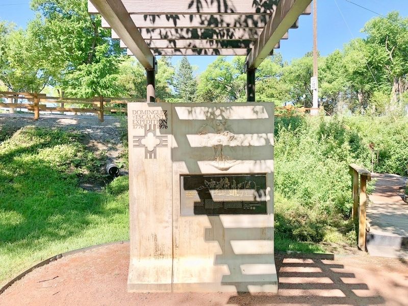
Erected 1976 by the Colorado Centennial-Bicentennial Commission, the town of Montrose, and the State Historical Society of Colorado.
Topics. This historical marker is listed in these topic lists: Exploration • Native Americans • Natural Features • Waterways & Vessels. A significant historical year for this entry is 1776.
Location. 38° 26.131′ N, 107° 52.055′ W. Marker is in Montrose, Colorado, in Montrose County. Marker can be reached from Chipeta Road north of U.S. 550, on the right when traveling north. Located in area of the Ute Indian Museum and Conquistador Memorial. Touch for map. Marker is at or near this postal address: 17253 Chipeta Road, Montrose CO 81401, United States of America. Touch for directions.
Other nearby markers. At least 8 other markers are within 2 miles of this marker, measured as the crow flies. In Behalf of the Light (here, next to this marker); Building An Empire: The Spanish Frontier (here, next to this marker); Pageant in the Wilderness (a few steps from this marker); The Ute Way of Life (a few steps from this marker); The Dominguez-Escalante Expedition / Dominguez-Escalante Country (a few steps from this marker); The Utes / Uncompahgre River Country / Ouray (1833-1880) / Chipeta (1843-1924) (about 300 feet away, measured in a direct line); The Hangin' Tree (approx. ¼ mile away); Early Irrigation in the Uncompahgre Valley (approx. 1.3 miles away). Touch for a list and map of all markers in Montrose.
Credits. This page was last revised on July 16, 2018. It was originally submitted on July 16, 2018, by Mark Hilton of Montgomery, Alabama. This page has been viewed 157 times since then and 14 times this year. Photos: 1, 2, 3. submitted on July 16, 2018, by Mark Hilton of Montgomery, Alabama.


