Civil War Franklin
Women's Experience
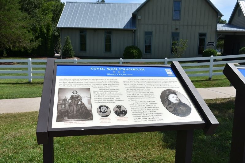
Sarah Ewing Sims Carter Gaut, who lived on 3rd Avenue North, was a devoted secessionist and spy despite being a widow with five children. Teenager Fannie Courtney supported the Union occupiers, and her pro-Confederate neighbors ostracized her.
Mariah Reddick, a McGavock family slave, was sent south with other slaves to prevent their escaping to approaching Federal soldiers. She returned after the war, lived downtown, and remained close to the McGavocks. She died in 1922 and is buried at Toussaint L'Ouverture Cemetery.
Matilda Lotz took refuge in the Fountain Branch Carter house basement with her parents and siblings as the Battle of Franklin raged outside. The emerged afterward to find thousands of dead and wounded soldiers lying
this page online
Carrie Winder McGavock cared for hundreds of Confederate wounded after the battle, as her plantation home, Carnton became a field hospital. In 1855 she and her husband John McGavock established the private Confederate cemetery adjacent to their family plot. McGavock cared for the cemetery until her death in 1905.
(photo captions, left to right:)
Sarah Ewing Sims Carter Gaut
Courtesy Tennessee Portrait Projects
Fannie Courtney
Heritage Foundation at Franklin and Williamson County
Unidentified African American woman
Library of Congress
Carrie Winder McGavock
Courtesy Carnton Plantation
Erected by Tennessee Civil War Trails.
Topics and series. This historical marker is listed in these topic lists: African Americans • War, US Civil • Women. In addition, it is included in the Tennessee Civil War Trails series list. A significant historical date for this entry is November 30, 1864.
Location. 35° 54.244′ N, 86° 51.495′ W. Marker is in Franklin, Tennessee, in Williamson County. It is

Regionally, this marker is in Middle Tennessee and in Greater Nashville. It is also in the American South and specifically in the Upper South. Globally, it is in North America, the Western Hemisphere, the Western World, and the Anglosphere. Historically, it finds itself in what was once the territory of the Mississippian Culture, one of the Confederate States of America, and the Antebellum South.
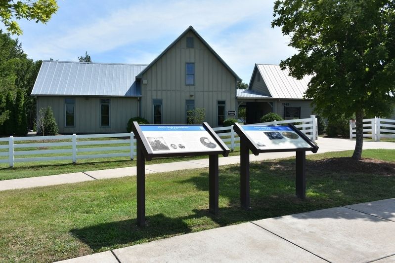
Other nearby markers. At least 8 other markers are within walking distance of this marker: A different marker also named Civil War Franklin (here, next to this marker); The McGavock Garden (within shouting distance of this marker); Maj. Gen. William W. Loring's Division (within shouting distance of this marker); Hood's Retreat (about 300 feet away, measured in a direct line); The Final Campaign 1864 (about 300 feet away); The Battle of Franklin (about 300 feet away); Becoming the Front Line 1862 (about 300 feet away); A Crucial War Zone 1863 (about 300 feet away). Touch for a list and map of all markers in Franklin.
Another marker is no longer nearby. Carnton Plantation (was within shouting distance of this marker but has been permanently removed).
Credits. This page was last revised on June 19, 2019. It was originally submitted on July 19, 2018, by Sandra Hughes Tidwell of Killen, Alabama, USA. This page has been viewed 954 times since then and 49 times this year. Photos: 1, 2. submitted on July 19, 2018, by Sandra Hughes Tidwell of Killen, Alabama, USA. • Andrew Ruppenstein was the editor who published this page.
