
Near Sabina in Clinton County, Ohio — The American Midwest (Great Lakes)
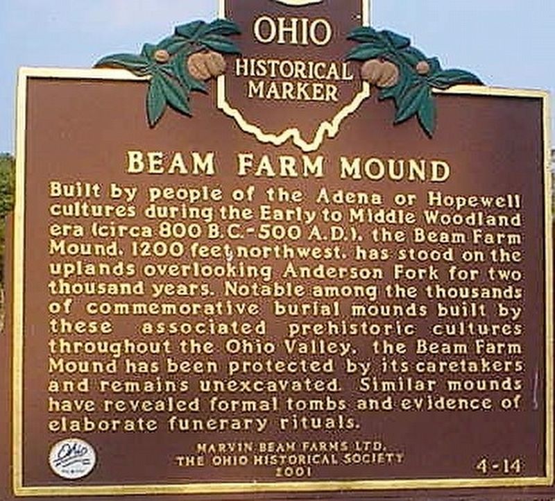
Beam Farm Mound
Photographed by Rev. Ronald Irick, August 4, 2018
1. Beam Farm Mound Marker
close up of marker, when it was erect
Erected 2001 by Marvin Beam Farms Ltd., The Ohio Historical Society. (Marker Number 4-14.)
Topics and series. This historical marker is listed in these topic lists: Anthropology & Archaeology • Cemeteries & Burial Sites • Indigenous Peoples and Communities. In addition, it is included in the Ohio Historical Society / The Ohio History Connection series list.
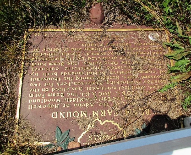
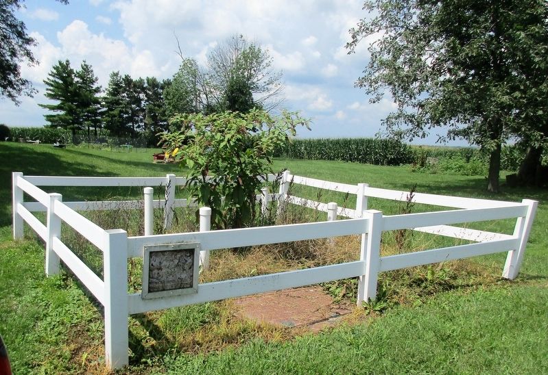
Location. 39° 30.141′ N, 83° 42.295′ W. Marker is near Sabina, Ohio, in Clinton County. It can be reached from Stone Road (County Route 23). Marker is flat on the ground, surrounded
this page online

Regionally, this marker is in Southern Ohio Hill Country. It is also in the American Midwest and in the Corn Belt. Globally, it is in North America, the Western Hemisphere, the Western World, and the Anglosphere. Historically, it finds itself in what was once the Haudenosaunee (Iroquois) Confederacy, the territory of the Mississippian Culture, and the Northwest Territory.
Other nearby markers. At least 8 other markers are within 7 miles of this marker, measured as the crow flies: Lance Corporal Brett Wightman (approx. 3.8 miles away); Sabina Veterans Memorial (approx. 3.8 miles away); Bowersville (approx. 5.2 miles away); Gilbert Van Zant (approx. 5½ miles away); a different marker also named Bowersville (approx. 5.7 miles away); Wilmington War Memorial (approx. 6.7 miles away); J. W. Denver Williams, Jr. (approx. 6.7 miles away); 302 TAW C-119 Accident Memorial (approx.
Photographed by Rev. Ronald Irick, August 3, 2018
2. Beam Farm Mound Marker
close up of marker in current situation
Other markers no longer nearby. Deserted Camp (was approx. 4.8 miles away but has been confirmed missing); Gilbert Van Zandt (was approx. 5.6 miles away but has been confirmed missing).
More about this marker. Considering the text, I believe this marker originally stood out on Stone Road at the drive way entrance.
Photographed by Rev. Ronald Irick, August 3, 2018
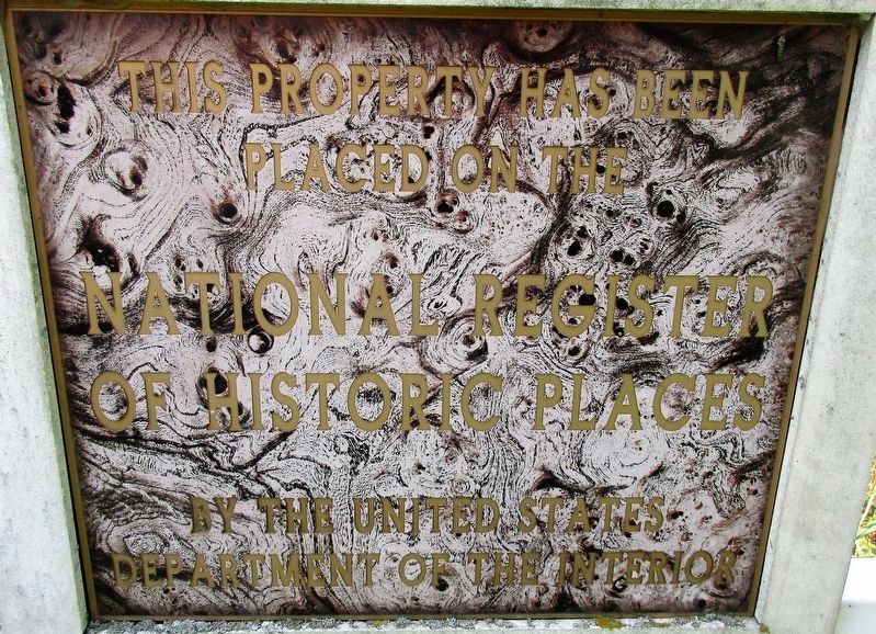
3. Beam Farm Mound Marker
close up of sign on fence
Photographed by Rev. Ronald Irick, August 3, 2018
4. Beam Farm Mound Marker
full view of site
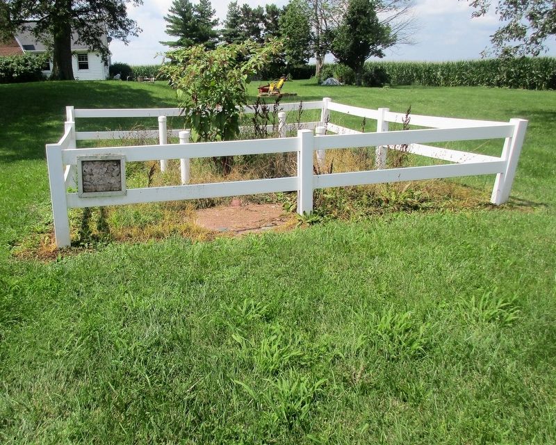
Photographed by Rev. Ronald Irick, August 3, 2018
5. Beam Farm Mound Marker
marker as seen from the lane, with the mound, and the farmhouse in the background
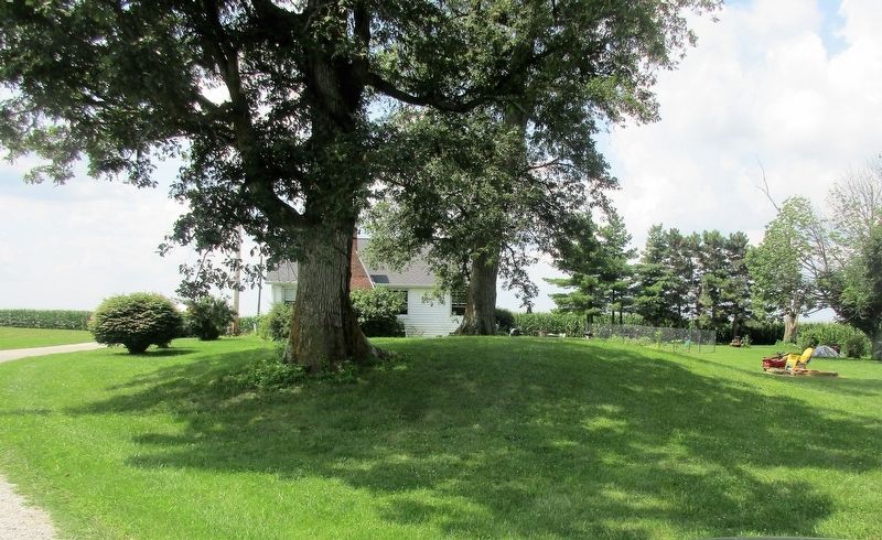
Photographed by Rev. Ronald Irick, August 3, 2018
6. Beam Farm Mound Marker
the mound

Photographed by Craig Doda, July 5, 2025
7. Beam Farm Mound Marker
Credits. This page was last revised on July 16, 2025. It was originally submitted on August 4, 2018, by Rev. Ronald Irick of West Liberty, Ohio. This page has been viewed 1,044 times since then and 72 times this year. Photos: 1, 2, 3, 4, 5, 6. submitted on August 4, 2018, by Rev. Ronald Irick of West Liberty, Ohio. 7. submitted on July 8, 2025, by Craig Doda of Napoleon, Ohio. • Andrew Ruppenstein was the editor who published this page.
