Franklin Township near Cashtown in Adams County, Pennsylvania — The American Northeast (Mid-Atlantic)
Mary Jemison
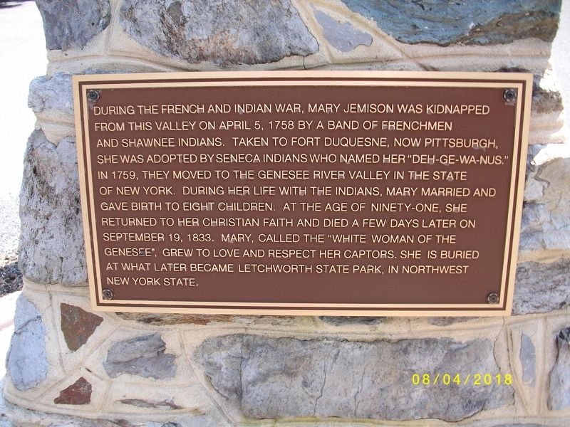
Photographed by Frankie, August 4, 2018
1. Mary Jemison Marker
Topics and series. This historical marker is listed in these topic lists: Indigenous Peoples and Communities • War, French and Indian • Women. In addition, it is included in the Mary Jemison - White Woman of the Genessee series list. A significant historical date for this entry is April 5, 1758.
Location. 39° 55.028′ N, 77° 23.723′ W. Marker is near Cashtown, Pennsylvania, in Adams County. It is in Franklin Township. It is on Church Road south of Buchanan
this page online

Regionally, this marker is in South-Central Pennsylvania. It is also in the American Northeast, in the Mid-Atlantic, in Appalachia, and specifically in Northern Appalachia. Globally, it is in North America, the Western Hemisphere, the Western World, and the Anglosphere. Historically, it finds itself in what was once the Haudenosaunee (Iroquois) Confederacy and also one of the original Thirteen Colonies.
Other nearby markers. At least 8 other markers are within 4 miles of this marker, measured as the crow flies: A different marker also named Mary Jemison (approx. 2.1 miles away); Traveling the Highway (approx. 2.7 miles away); Cashtown (approx. 2.9 miles away); Gettysburg Campaign (approx. 2.9 miles away); Cashtown Inn (approx. 2.9 miles away); Imboden's Brigade (approx. 2.9 miles away); Roads West (approx. 2.9 miles away); a different marker also named Cashtown (approx. 3.3 miles away). Touch for a list and map of all markers in Cashtown.
More about this marker.
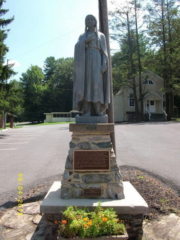
Photographed by Frankie, August 4, 2018
2. Mary Jemison Statue
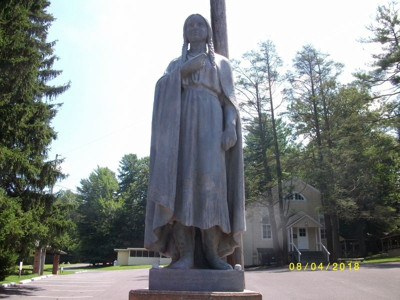
Photographed by Frankie, August 4, 2018
3. Close-up of Mary Jemison Statue
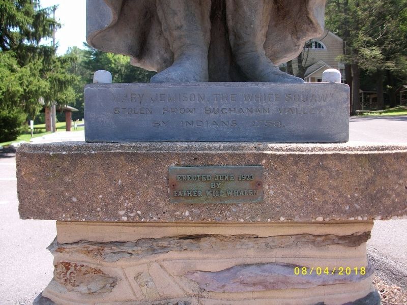
Photographed by Frankie, August 4, 2018
4. Inscription under the feet of the statue
Mary Jemison, the "White Squaw" stolen from Buchanan Valley by Indians, 1758.
Erected June 1923 by Father Will Whalen.
Photographed by Frankie, August 4, 2018
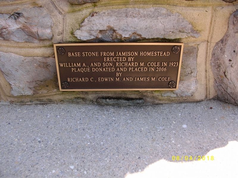
5. Plaque Inscription on bottom of Statue
Base stone from Jemison Homestead
Erected by
William A., and Son, Richard M. Cole in 1923
Plaque donated and placed in 2006 by
Richard C., Edwin M. and James M. Cole
Credits. This page was last revised on February 24, 2024. It was originally submitted on August 6, 2018. This page has been viewed 3,092 times since then and 207 times this year. Photos: 1, 2, 3, 4, 5. submitted on August 6, 2018. • Andrew Ruppenstein was the editor who published this page.
