Near New Edinburg in Cleveland County, Arkansas — The American South (West South Central)
Shelby's Approach
Photographed by Mark Hilton, August 2, 2018
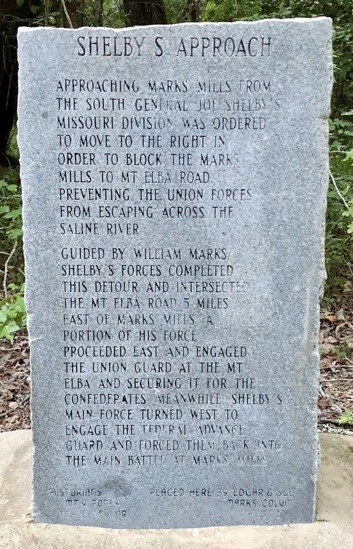
1. Shelby's Approach Marker
Guided by William Marks Shelby's forces completed this detour and intersected the Mt Elba road 5 miles east of Marks Mills. A portion of his force proceeded east and engaged the Union guard at the Mt Elba and securing it for the Confederates. Meanwhile Shelby’s main force turned west to engage the Federal advance guard and forced them back into the main battle at Marks Mills.
Historians: Jimmy Boney, Doyle Taylor
Erected 2002 by Edgar & Sue Marks Colvin.
Topics. This historical marker is listed in these topic lists: Roads & Vehicles • War, US Civil • Waterways & Vessels.
Location. 33° 47.234′ N, 92° 14.845′ W. Marker is near New Edinburg, Arkansas, in Cleveland County. It is on Old Camden Road 0.4 miles south of Marks Cemetery Road, on the right when traveling south. Located at Marks' Mills Battleground. Touch for map. Marker is at or near this postal address: Old Camden Road, New Edinburg AR 71660, United States of America. Touch for directions.

Regionally, this marker is in the Gulf Coastal Plain. It is also in the American South, specifically in the Upper South, and in the Piney Woods. Globally, it is in North America, the Western Hemisphere, the Western World, and the Anglosphere. Historically, it finds itself in what was once the territory of the Mississippian Culture, the Louisiana Purchase, one of the Confederate States of America, and the Antebellum South.
Other nearby markers. At least 8 other markers are within 2 miles of this marker, measured as the crow flies: Cleveland County Battle of Mark's Mill
this page online
Photographed by Mark Hilton, August 2, 2018
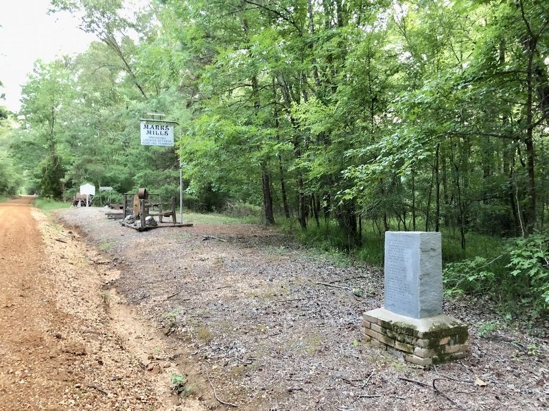
2. Shelby's Approach Marker looking south on Old Camden Road.
Photographed by Mark Hilton, August 2, 2018
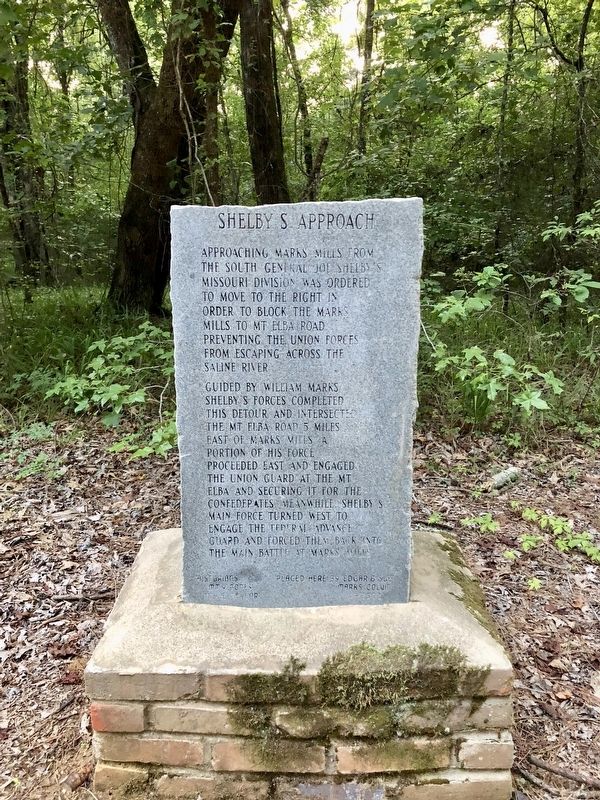
3. Shelby's Approach Marker looking west.
Photographed by Mark Hilton, August 2, 2018
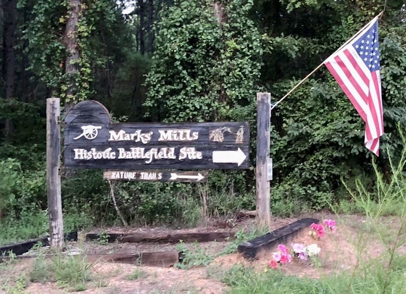
4. Battleground sign at top of Old Camden Road.
Credits. This page was last revised on August 13, 2018. It was originally submitted on August 13, 2018, by Mark Hilton of Montgomery, Alabama. This page has been viewed 517 times since then and 43 times this year. Photos: 1, 2, 3, 4. submitted on August 13, 2018, by Mark Hilton of Montgomery, Alabama.
