Cheboygan in Cheboygan County, Michigan — The American Midwest (Great Lakes)
Cheboygan's Beginnings
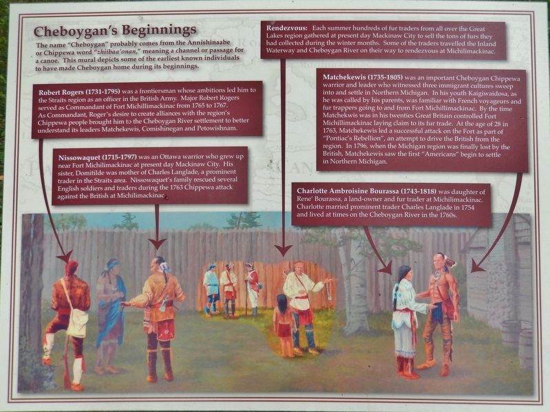
The Name "Cheboygan"
Robert Rogers (1731-1795)
was a frontiersman whose ambitions led him to the Straits region as an officer in the British Army. Major Robert Rogers served as Commandant of Fort Michillimackinac from 1765 to 1767. As Commandant, Roger's desire to create alliances with the region's Chippewa people brought him to the Cheboygan River settlement to better understand its leaders Matchekewis, Comishinegan and Petowishnam.
Nissowaquet (1715-1797)
was an Ottawa warrior who grew up near Fort Michilimackinac at present day Mackinaw City. His sister, Domitilde was mother of Charles Langlade, a prominent trader in the Straits area. Nissowaquet's family rescued several English soldiers and traders during the 1763 Chippewa attack against the British at Michilimackinac
Rendezvous:
Each summer hundreds of fur traders from all over the Great Lakes region gathered at present day Mackinaw City to sell the tons of furs they had collected during the winter months. Some of the traders travelled the Inland Waterway and Cheboygan River on their way to rendezvous at Michilimackinac.
Matchekewis (1735-1805)
was an important Cheboygan Chippewa warrior and leader who witnessed three immigrant cultures sweep into and settle in Northern Michigan. In his youth Kaigiwaidosa, as he was called by his parents, was familiar with French voyageurs and fur trappers going to and from Fort Michillimackinac. By the time Matchekwis was in his twenties Great Britain controlled Fort Michillimackinac laying claim to its fur trade. At the age of 28 in 1763, Matchekewis led a successful attack on the Fort as part of "Pontiac's Rebellion", an attempt to drive the British from the region. In 1796, when the Michigan region was finally lost by the British, Matchekewis saw the first "Americans" begin to settle in Northern Michigan.
Charlotte Ambroisine Bourassa (1743-1818)
was daughter of Rene' Bourassa, a land-owner and fur trader at Michilimackinac. Charlotte married prominent trader Charles Langlade in 1754 and lived at times on the Cheboygan River in the 1760s.
Topics. This historical marker is listed in these topic lists: Colonial Era • Native Americans • Settlements & Settlers • Waterways & Vessels.
Location. 45° 38.597′ N, 84° 28.637′ W. Marker is in Cheboygan, Michigan, in Cheboygan
County. Marker can be reached from North Main Street (State Highway 27) south of West Elm Street, on the right when traveling north. This marker, related markers, and associated mural are located along the south side of Cheboygan's Washington Park, on the east side of North Main Street. Touch for map. Marker is at or near this postal address: 124 North Main Street, Cheboygan MI 49721, United States of America. Touch for directions.
Other nearby markers. At least 8 other markers are within walking distance of this marker. A different marker also named Cheboygan's Beginnings (here, next to this marker); a different marker also named Cheboygan's Beginnings (a few steps from this marker); a different marker also named Cheboygan's Beginnings (a few steps from this marker); a different marker also named Cheboygan's Beginnings (a few steps from this marker); Old Cheboygan County Courthouse (approx. 0.4 miles away); Jail and Sheriff's Residence (approx. 0.4 miles away); St. Mary Church (approx. half a mile away); Jacob J. Post House (approx. half a mile away). Touch for a list and map of all markers in Cheboygan.
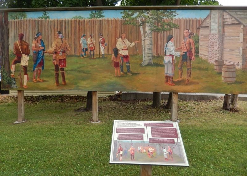
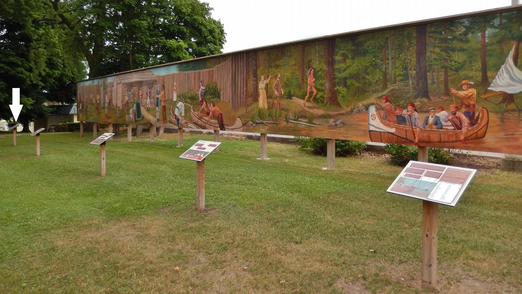
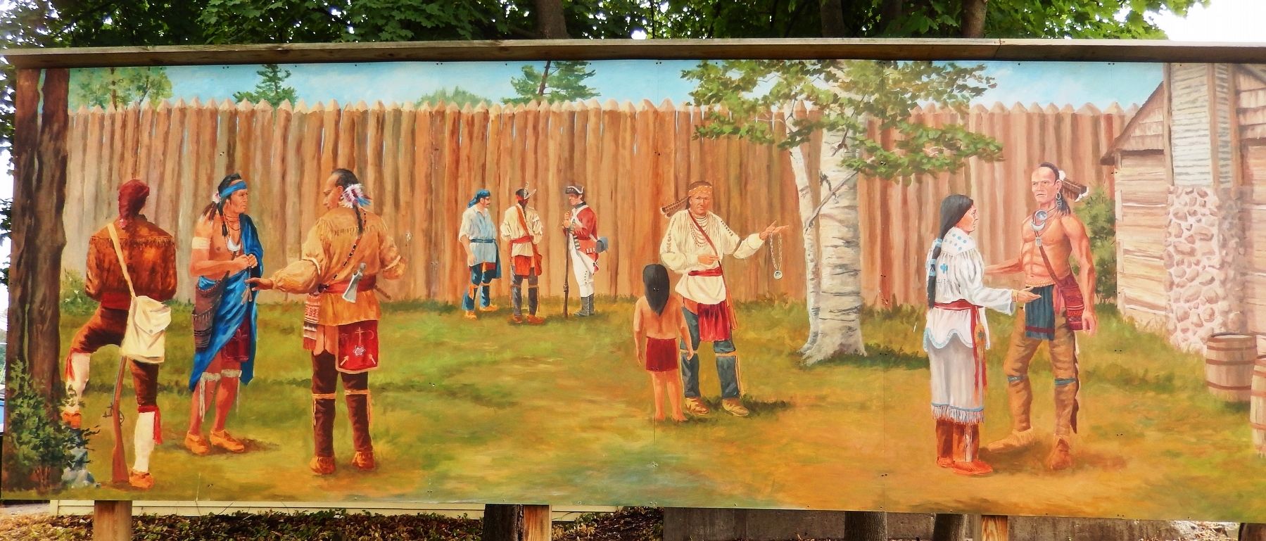
More about this marker. Marker is a large composite plaque, mounted horizontally on a waist-high post. This is marker #1 of a five marker series which outlines some early colonial history and characters of Cheboygan, Michigan.
Related markers. Click here for a list of markers that are related to this marker. Cheboygan's Beginnings Mural Series
Credits. This page was last revised on August 19, 2018. It was originally submitted on August 15, 2018, by Cosmos Mariner of Cape Canaveral, Florida. This page has been viewed 318 times since then and 19 times this year. Photos: 1. submitted on August 17, 2018, by Cosmos Mariner of Cape Canaveral, Florida. 2, 3, 4. submitted on August 18, 2018, by Cosmos Mariner of Cape Canaveral, Florida. • Bill Pfingsten was the editor who published this page.


