Cheboygan in Cheboygan County, Michigan — The American Midwest (Great Lakes)
Cheboygan's Beginnings
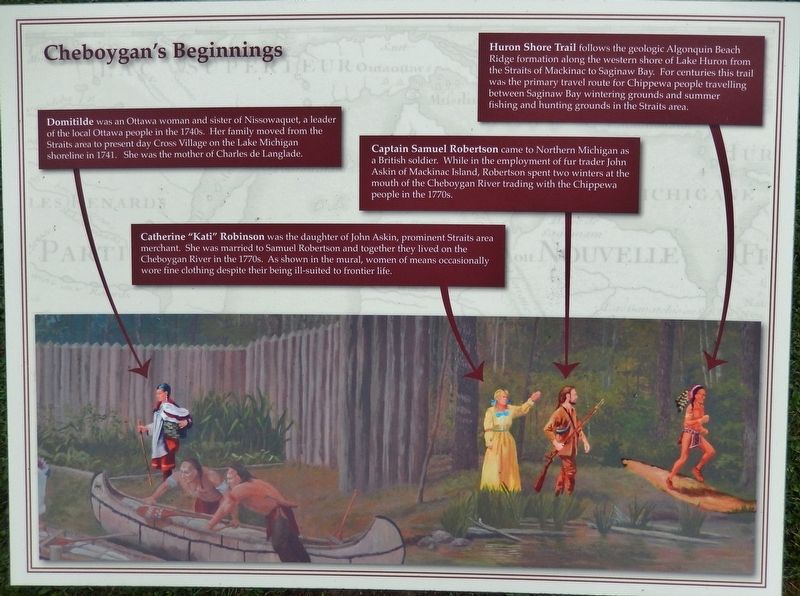
Huron Shore Trail
Huron Shore Trail
follows the geologic Algonquin Beach Ridge formation along the western shore of Lake Huron from the Straits of Mackinac to Saginaw Bay. For centuries this trail was the primary travel route for Chippewa people travelling between Saginaw Bay wintering grounds and summer fishing and hunting grounds in the Straits area.
Domitilde
was an Ottawa woman and sister of Nissowaquet, a leader of the local Ottawa people in the 1740s. Her family moved from the Straits area to present day Cross Village on the Lake Michigan shoreline in 1741. She was the mother of Charles de Langlade.
Catherine "Kati" Robinson
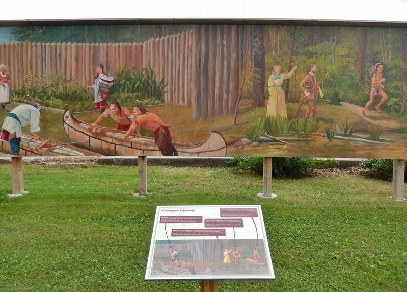
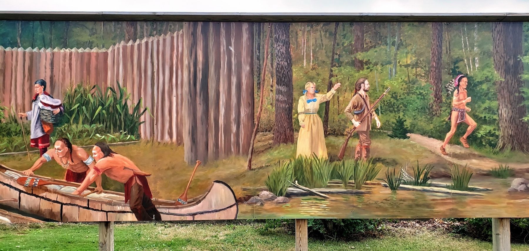
was the daughter of John Askin, prominent Straits area merchant. She was married to Samuel Robertson and together they lived on the Cheboygan River in the 1770s. As shown in the mural, women of means occasionally wore fine clothing despite their being ill-suited to frontier life.
Captain Samuel Robertson
came to Northern Michigan as a British soldier. While in the employment of fur trader John Askin of Mackinac Island, Robertson spent two winters at the mouth of the Cheboygan River trading with the Chippewa people in the 1770s.
Topics. This historical marker is listed in these topic lists: Colonial Era • Native Americans • Settlements & Settlers • Waterways & Vessels. A significant historical year for this entry is 1741.
Location. 45° 38.599′ N, 84° 28.645′ W. Marker is in Cheboygan, Michigan, in Cheboygan County. Marker can be reached from North Main Street (State Highway 27) south of West Elm Street, on the right when traveling north. This marker, related markers, and associated mural are located along the south side of Cheboygan's Washington Park, on the east side of North Main Street. Touch for map. Marker is at or near this postal address: 124 North Main Street, Cheboygan MI 49721, United States of America. Touch for directions.
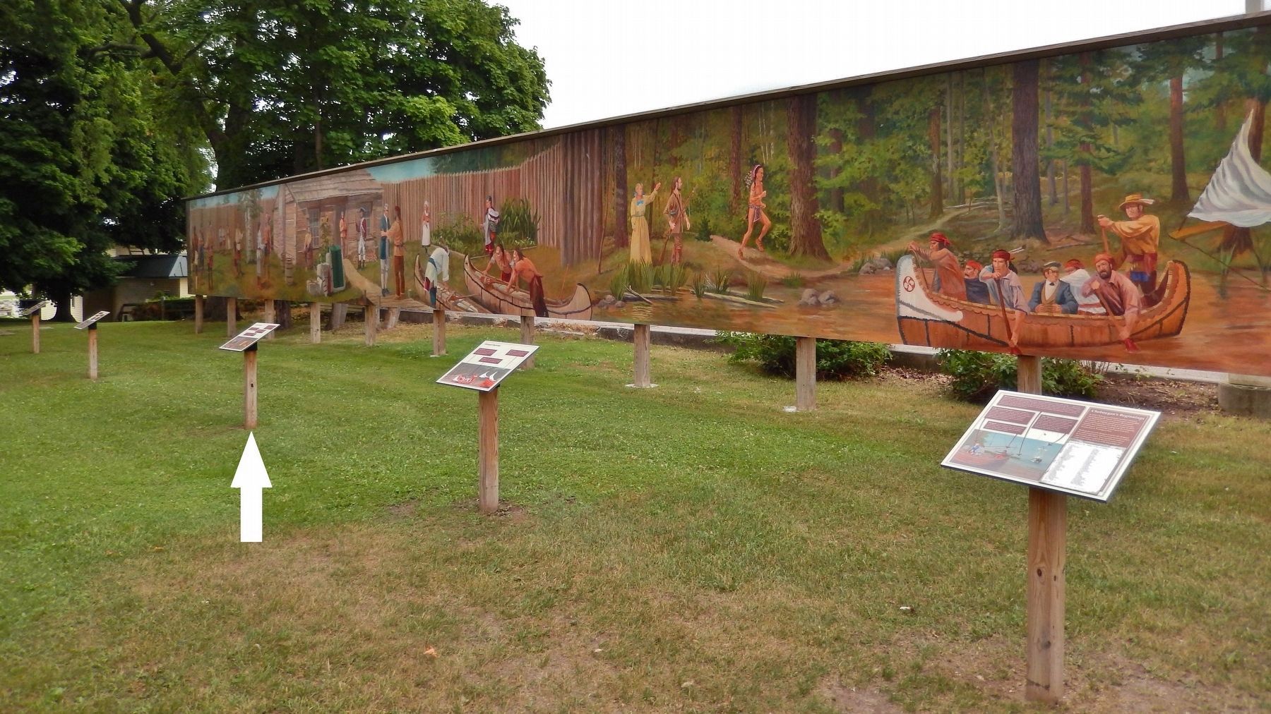
Other nearby markers. At least 8 other markers are within walking distance of this marker. A different marker also named Cheboygan's Beginnings (here, next to this marker); a different marker also named Cheboygan's Beginnings (here, next to this marker); a different marker also named Cheboygan's Beginnings (a few steps from this marker); a different marker also named Cheboygan's Beginnings (a few steps from this marker); Old Cheboygan County Courthouse (approx. 0.4 miles away); Jail and Sheriff's Residence (approx. 0.4 miles away); St. Mary Church (approx. half a mile away); Jacob J. Post House (approx. half a mile away). Touch for a list and map of all markers in Cheboygan.
More about this marker. Marker is a large composite plaque, mounted horizontally on a waist-high post. This is marker #3 of a five marker series which outlines some early colonial history and characters of Cheboygan, Michigan.
Related markers. Click here for a list of markers that are related to this marker. Cheboygan's Beginnings Mural Series
Credits. This page was last revised on August 19, 2018. It was originally submitted on August 15, 2018, by Cosmos Mariner of Cape Canaveral, Florida. This page has been viewed 147 times since then and 14 times this year. Photos: 1. submitted on August 17, 2018, by Cosmos Mariner of Cape Canaveral, Florida. 2, 3, 4. submitted on August 18, 2018, by Cosmos Mariner of Cape Canaveral, Florida. • Bill Pfingsten was the editor who published this page.


