Centro Histórico in Ciudad de México, Mexico — The Valley of Mexico (The Central Highlands)
House of Cristóbal de Oñate
Photographed by J. Makali Bruton, August 18, 2018
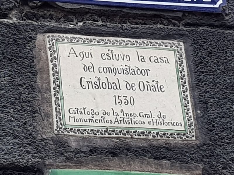
1. House of Cristóbal de Oñate Marker

1530
Catálogo de la Insp. Gral de Monumentos Artísticos e Históricos
Here was the house of the conquistador Cristóbal de Oñate
1530
Catalogue of the Inspector General of Artistic and Historic Monuments
Erected 1955 by Catálogo de la Inspección General de Monumentos Artísticos e Históricos.
Topics. This historical marker is listed in these topic lists: Colonial Era • Hispanic Americans • Wars, Non-US. A significant historical year for this entry is 1530.
Location. 19° 26.215′ N, 99° 8.016′ W. Marker is in Ciudad de México. It is in Centro Histórico. It is at the intersection of República de Brasil and Calle Luis González Obregón, on the right when traveling north on República de Brasil. Touch for map. Marker is at or near this postal address: República de Brasil 31, Ciudad de México 06020, Mexico. Touch for directions.

Regionally, this marker is in Central Mexico and specifically in Mexico City Metropolitan Area. Globally, it is in North America, specifically in Mesoamerica, on the Ring of Fire, and in the Western Hemisphere.
this page online
Other nearby markers. At least 8 other markers are within walking distance of this marker: Master Diego Pedraza (a few steps from this marker); Ex-Customs House (within shouting distance of this marker); Luis González Obregón (within shouting distance of this marker); House of La Malinche and Juan Xaramillo (within shouting distance of this marker); House of the Adelantados of New Galicia (within shouting distance of this marker); Juan de Dios Peza (about 90 meters away, measured in a direct line); a different marker also named Juan de Dios Peza (about 90 meters away); Manuel Acuña (about 90 meters away). Touch for a list and map of all markers in Ciudad de México.
Regarding House of Cristóbal de Oñate. One of Cristóbal Oñate's sons, Juan de Oñate, would eventually lead a pioneering expedition to what is now New Mexico.
Photographed by J. Makali Bruton, August 18, 2018
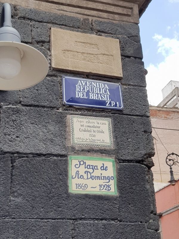
2. House of Cristóbal de Oñate Marker and other signs
Below the marker is a sign noting that the area was the Plaza de Santo Domingo from 1869-1928, although it is still commonly known by that name even now. Above the marker is a street sign. The topmost marker or sign has been defaced, although it possibly read "Calle Sepulcros", the previous name of this road.
Photographed by J. Makali Bruton, August 18, 2018
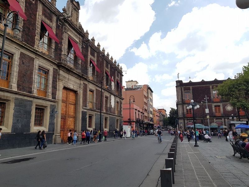
3. House of Cristóbal de Oñate Marker
The marker is at the far right of the Ex-Customs House, seen to the left in this view. It is above a white newspaper stand.
Credits. This page was last revised on January 4, 2023. It was originally submitted on August 22, 2018, by J. Makali Bruton of Washington, District of Columbia. This page has been viewed 721 times since then and 47 times this year. Photos: 1, 2, 3. submitted on August 22, 2018, by J. Makali Bruton of Washington, District of Columbia.
