Sierra Madre in Los Angeles County, California — The American West (Pacific Coastal)
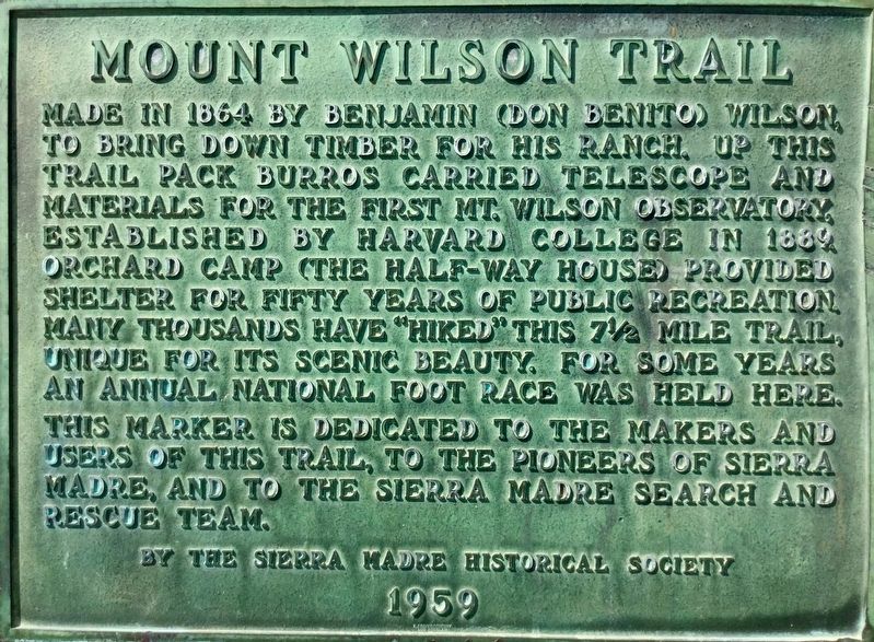
Mount Wilson Trail
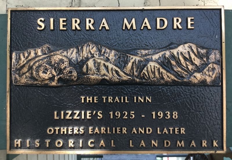
Lizzie’s Trail Inn
| — | John Richardson House | — |
Photographed by Craig Baker, July 17, 2018
1. Mount Wilson Trail Marker
This marker is dedicated to the makers and users of this trail, to the pioneers of Sierra Madre, and to the Sierra Madre Search and Rescue Team.
Erected 1959 by Sierra Madre Historical Society.
Topics. This historical marker is listed in these topic lists: Parks & Recreational Areas • Roads & Vehicles • Science & Medicine.
Location. 34° 10.171′ N, 118° 2.943′ W. Marker is in Sierra Madre, California, in Los Angeles County. It is at the intersection of East Mira Monte Avenue and Mt Wilson Trail, on the left when traveling east on East Mira Monte Avenue. Touch for map. Marker is at or near this postal address: 167 E
this page online

Regionally, this marker is in Greater Los Angeles and in the Transverse Ranges. It is also on the American Pacific Coast. Globally, it is in North America, on the Ring of Fire, on the Pacific Rim, in the Western Hemisphere, in the Western World, and in the Anglosphere. Historically, it finds itself in what was once New Spain and also Mexico’s Alta California.
Other nearby markers. At least 8 other markers are within 2 miles of this marker, measured as the crow flies: Episcopal Church of the Ascension (approx. 0.3 miles away); World’s Largest Blossoming Plant (approx. half a mile away); Old Sierra Madre City Hall (approx. 0.6 miles away); Sierra Madre Pioneer Cemetery (approx. 0.7 miles away); Los Angeles County Arboretum & Botanic Garden (approx. 1.8 miles away); Hollywood at the Arboretum (approx. 1.9 miles away); Cycads (approx. 1.9 miles away); Baldwin Lake (approx. 2 miles away). Touch for a list and map of all markers in Sierra Madre.
More about this marker. The Trail Inn museum is open most Saturdays from 10:00 am to 12:00
Photographed by Craig Baker, July 17, 2018
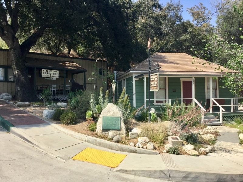
2. Mount Wilson Trail Marker
Lizzie’s Trail Inn (L), John Richardson House (R)
Related marker. Click here for another marker that is related to this marker. - Benjamin Davis Wilson marker on Mt Wilson.
Photographed by Craig Baker, July 17, 2018
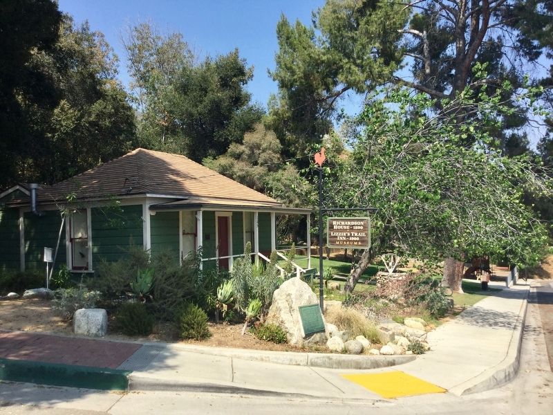
3. Mount Wilson Trail Marker
Photographed by Craig Baker, July 17, 2018
4. Lizzie’s Trail Inn
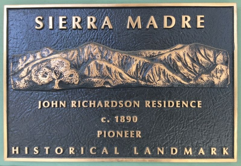
Photographed by Craig Baker, July 17, 2018
5. John Richardson Residence
Credits. This page was last revised on March 14, 2025. It was originally submitted on September 7, 2018, by Craig Baker of Sylmar, California. This page has been viewed 694 times since then and 51 times this year. Photos: 1, 2, 3, 4, 5. submitted on September 7, 2018, by Craig Baker of Sylmar, California. • Andrew Ruppenstein was the editor who published this page.
