Chutes-Montmorency in Québec in Capitale-Nationale, — Central Canada (French-Canadian)
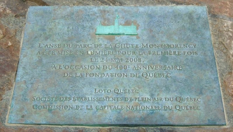
L'anse du parc de la Chute-Montmorency
The Cove of Montmorency Falls Park
Photographed by William Fischer, Jr., August 14, 2018
1. L'anse du parc de la Chute-Montmorency Marker
a été mise en lumière pour la première fois
le 24 mai 2008,
a l'occasion du 400e anniversaire
de la fondation de Québec
—————————————————
The Cove of Montmorency Falls Park
was first lighted on May 24, 2008,
on the occasion of the 400th anniversary
of the founding of Quebec City
Erected by Loto Québec, Société des Établissements de plein air du Québec, et Commission de la capitale nationale du Québec.
Topics. This historical marker is listed in these topic lists: Colonial Era • Parks & Recreational Areas • Settlements & Settlers • Waterways & Vessels. A significant historical date for this entry is May 24, 2008.
Location. 46° 53.129′ N, 71° 8.724′ W. Marker is in Québec, in Capitale-Nationale. It is in Chutes-Montmorency. It can be reached from Boulevard Sainte-Anne. Touch for map. Marker is at or near this postal address: 5300 Boulevard Sainte-Anne, Québec G1C 0M3, Canada. Touch for directions.

Regionally, this marker is in Central Canada. Globally, it is in North America, the Western Hemisphere, and the Western World. Historically, it finds itself
this page online
Other nearby markers. At least 8 other markers are within 10 kilometers of this marker, measured as the crow flies: La chute Montmorency / Montmorency Falls (approx. 0.4 kilometers away); Contre vents et marées / Against All Odds (approx. 3.9 kilometers away); La « grève chez Blais » / The "Strike at Blais" (approx. 3.9 kilometers away); La « grève du Nord », porte d'entrée / The "North Shore" gateway (approx. 4 kilometers away); Monument Guillaume-Couture (approx. 6.7 kilometers away); A.C. Davie Shipyard (approx. 8.5 kilometers away); Hommage à Lester B. Pearson / Homage to Lester B. Pearson (approx. 8.9 kilometers away); Place de la FAO (approx. 8.9 kilometers away). Touch for a list and map of all markers in Québec.
Also see . . . Parc de la Chute‑Montmorency Falls Park. (Submitted on September 16, 2018, by William Fischer, Jr. of Reynoldsburg, Ohio.)
Photographed by William Fischer, Jr., August 14, 2018
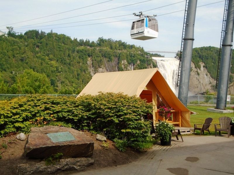
2. L'anse du parc de la Chute-Montmorency Marker
Photographed by William Fischer, Jr., August 14, 2018
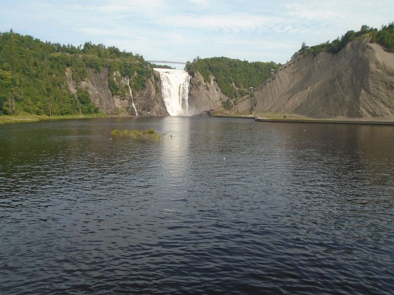
3. L'anse du parc de la Chute-Montmorency Falls Park Cove
Credits. This page was last revised on February 9, 2023. It was originally submitted on September 16, 2018, by William Fischer, Jr. of Reynoldsburg, Ohio. This page has been viewed 351 times since then and 27 times this year. Photos: 1, 2, 3. submitted on September 16, 2018, by William Fischer, Jr. of Reynoldsburg, Ohio.
