Russellville in Logan County, Kentucky — The American South (East South Central)
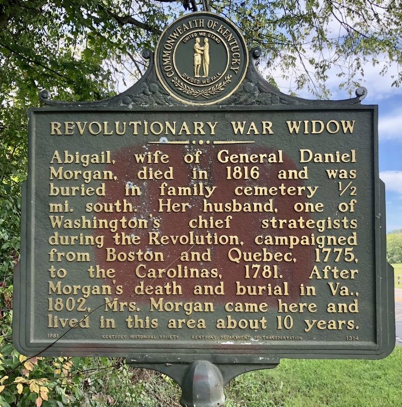
Revolutionary War Widow
Erected 1981 by Kentucky Historical Society, Kentucky Department of Highways. (Marker Number 1314.)
Topics and series. This historical marker is listed in these topic lists: Cemeteries & Burial Sites • Colonial Era • War, US Revolutionary • Women. In addition, it is included in the Kentucky Historical Society series list. A significant historical year for this entry is 1816.
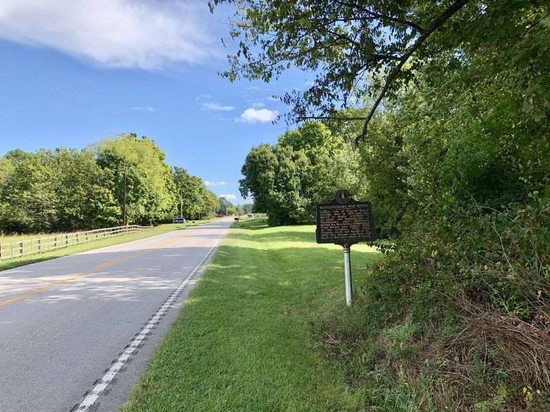
Location. 36° 49.361′ N, 86° 51.412′ W. Marker is in Russellville, Kentucky, in Logan County. Marker is on Franklin Road (Kentucky Route 100) south of C Dodson Lane, on the right when traveling south. Touch for map. Marker is at or near this postal address: Franklin Road, Russellville KY 42276, United States of America. Touch for directions.
Other nearby markers. At least 8 other markers are within 3 miles of this marker, measured as the crow flies. Origin of Federal Highway U.S. 79 (approx. 1.4 miles away); Tom Rhea Highway No. 100 (approx. 1.6 miles away); Cedar House (approx. 1.7 miles away); Ken Barrett Field (approx. 2 miles away); Rhea Stadium (approx. 2 miles away); Governors' Corner (approx. 2 miles away); O'Bannon House (approx. 2 miles away); Townhouse of Maj. Richard Bibb (approx. 2.1 miles away). Touch for a list and map of all markers in Russellville.
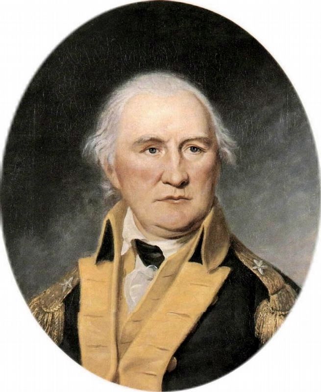
Also see . . . Wikipedia article on Daniel Morgan. (Submitted on September 17, 2018, by Mark Hilton of Montgomery, Alabama.)
Credits. This page was last revised on November 20, 2019. It was originally submitted on September 17, 2018, by Mark Hilton of Montgomery, Alabama. This page has been viewed 464 times since then and 20 times this year. Photos: 1, 2, 3. submitted on September 17, 2018, by Mark Hilton of Montgomery, Alabama.


