Downtown in St. Louis, Missouri — The American Midwest (Upper Plains)
Miles of Steamboats
Jefferson National Expansion Memorial
Inscription.
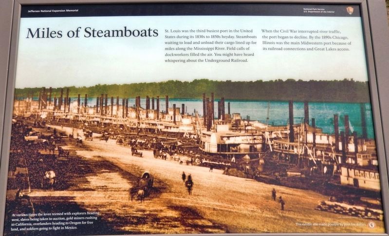
St. Louis was the third busiest port in the United States during its 1830s to 1850s heyday. Steamboats waiting to load and unload their cargo lined up for miles along the Mississippi River. Field calls of dockworkers filled the air. You might have heard whispering about the Underground Railroad.
When the Civil War interrupted river traffic, the port began to decline. By the 1890s Chicago, Illinois was the main Midwestern port because of its railroad connections and Great Lakes access.
Erected by National Park Service, U.S. Department of the Interior.
Topics. This historical marker is listed in these topic lists: Abolition & Underground RR • Industry & Commerce • War, US Civil • Waterways & Vessels.
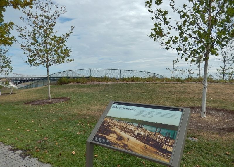
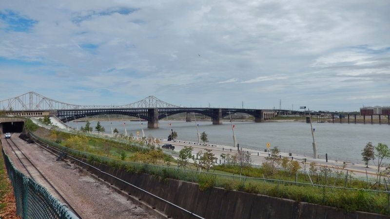
Location. 38° 37.539′ N, 90° 11.053′ W. Marker is in St. Louis, Missouri. It is in Downtown. Marker can be reached from North Leonor K Sullivan Boulevard, half a mile south of Laclede's Landing Boulevard, on the right when traveling south. Marker is located on the Gateway Arch trail, a short distance northeast of the Arch, in Jefferson National Expansion Memorial Park. Touch for map. Marker is in this post office area: Saint Louis MO 63102, United States of America. Touch for directions.
Other nearby markers. At least 8 other markers are within walking distance of this marker. The Gateway Arch (within shouting distance of this marker); Pierre Laclede (within shouting distance of this marker); August 1, 1993 (about 300 feet away, measured in a direct line); Rock Solid (about 300 feet away); Curves Ahead (about 500 feet away); Speedy Delivery (about 500 feet away); The Captains' Return (about 500 feet away); In Memory of Robert E. Lee (about 600 feet away). Touch for a list and map of all markers in St. Louis.
Also see . . .
1. The Great Migration: 1803-1860. City website entry:
Between 1840 and 1860, the population exploded with the arrival of many new immigrants. Germans and Irish were the dominant ethnic groups settling in St. Louis, especially in the wake of the German Revolution and the Irish Potato Famine. St. Louis was a strategic location during the American Civil War, but it stayed firmly under Union control - in large part because of the fiercely loyal German influence. (Submitted on August 28, 2018, by Cosmos Mariner of Cape Canaveral, Florida.)
2. A Walk Through Black History in St. Louis. Explore St. Louis website entry:
As a major city in a slave state just across the Mississippi River from the free state of Illinois, St. Louis was at a pivotal point in the Underground Railroad. The trail of the Underground Railroad in St. Louis is not as well known as in many free states, but over the years, many stories of escaped slaves and those who helped them have passed from generation to generation. These stories, along with well-documented events, created the legacy of the Underground Railroad. (Submitted on August 28, 2018, by Cosmos Mariner of Cape Canaveral, Florida.)
3. St. Louis in the American Civil War. Wikipedia entry:
The city of St. Louis, Missouri was a strategic location during the American Civil War which held significant value for both Union and Confederate forces. As the largest city in the fiercely divided border state of Missouri and the most important economic hub on the upper Mississippi River, St. Louis was a major launching point and supply depot for campaigns in the Western and Trans-Mississippi Theaters. (Submitted on August 28, 2018, by Cosmos Mariner of Cape Canaveral, Florida.)
4. Gateway Arch National Park. National Park Service website entry (Submitted on August 29, 2018.)
Credits. This page was last revised on August 25, 2023. It was originally submitted on August 28, 2018, by Cosmos Mariner of Cape Canaveral, Florida. This page has been viewed 277 times since then and 19 times this year. Last updated on October 15, 2018, by Devry Becker Jones of Washington, District of Columbia. Photos: 1, 2, 3, 4. submitted on August 28, 2018, by Cosmos Mariner of Cape Canaveral, Florida. • Andrew Ruppenstein was the editor who published this page.


