Bradenton in Manatee County, Florida — The American South (South Atlantic)
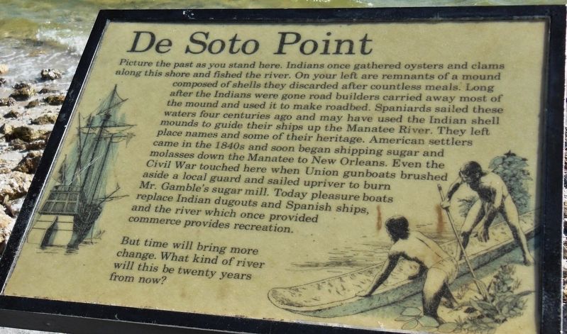
De Soto Point
De Soto National Memorial
Photographed by Cosmos Mariner, December 20, 2012
1. De Soto Point Marker
But time will bring more change. What kind of river will this be twenty years from now?
Erected by National Park Service, U.S. Department of the Interior.
Topics. This historical marker is listed in these topic lists: Exploration • Indigenous Peoples and Communities
this page online
Location. Marker has been permanently removed. It was located near 27° 31.501′ N, 82° 38.452′ W. Marker was in Bradenton, Florida, in Manatee County. It could be reached from Desoto Memorial Highway (75th Street NW) 0.2 miles north of 24th Avenue NW when traveling north. Marker is located within the DeSoto National Memorial Park, at the far north end of the DeSoto Expedition Trail, on the beach overlooking the Manatee River, about 2/10 mile north of the Visitor Center. Touch for map. Marker was at or near this postal address: 8300 Desoto Memorial Highway, Bradenton FL 34209, United States of America.
We have been informed that this marker is no longer there and will not be replaced. This page is an archival view of what was.
Regionally, this marker was on the Gulf Coast and on Tampa Bay. It was also in the American South and on the Gulf Coast. Globally, it was in the North Atlantic Region, North America, a Gulf of Mexico state, the Western Hemisphere, the Western World, and the Anglosphere. Historically, it found itself in what

Photographed by Cosmos Mariner, December 20, 2012
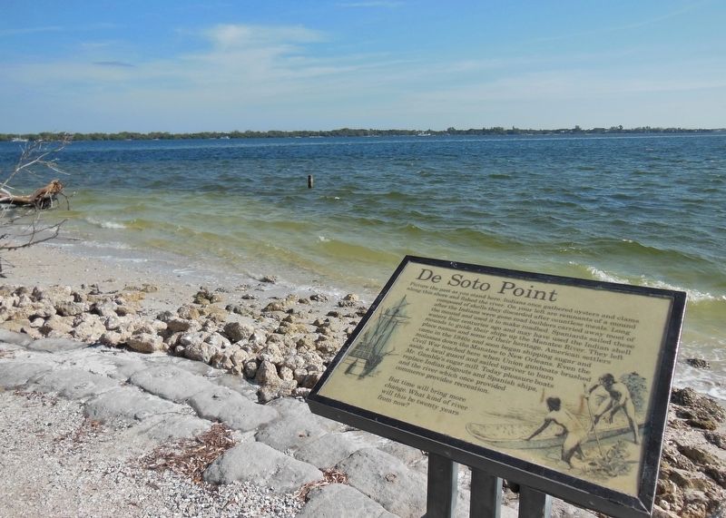
2. De Soto Point Marker (wide view; Manatee River in background)
Other nearby markers. At least 8 other markers are within walking distance of this location: Back to Angola (here, next to this marker); Driven Out of Chicaza (a few steps from this marker); Battle of Mabila (within shouting distance of this marker); Across the Wide River (within shouting distance of this marker); Cofitachequi (about 300 feet away, measured in a direct line); Tabby House on the Seashore (about 300 feet away); A Punishing Winter (about 400 feet away); Death of a Conquistador (about 500 feet away). Touch for a list and map of all markers in Bradenton.
Another marker is no longer nearby. Tabby House Ruins (was about 300 feet away but has been permanently removed).
Related markers. Click here for a list of markers that are related to this marker. De Soto National Memorial
Photographed by Cosmos Mariner, December 20, 2012
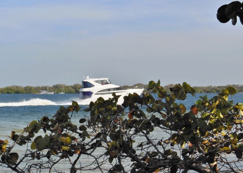
3. Pleasure Bost Cruising Past De Soto Point
Credits. This page was last revised on March 11, 2026. It was originally submitted on October 24, 2018, by Cosmos Mariner of Cape Canaveral, Florida. This page has been viewed 851 times since then and 100 times this year. Photos: 1, 2, 3. submitted on October 24, 2018, by Cosmos Mariner of Cape Canaveral, Florida. • Bernard Fisher was the editor who published this page.
