Lititz in Lancaster County, Pennsylvania — The American Northeast (Mid-Atlantic)
Springs Head-End
Photographed by William Fischer, Jr., November 11, 2018
1. Springs Head-End Marker
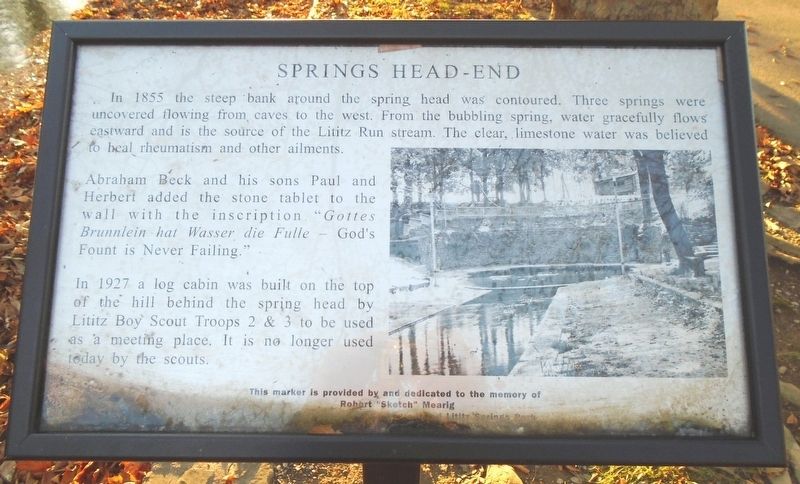
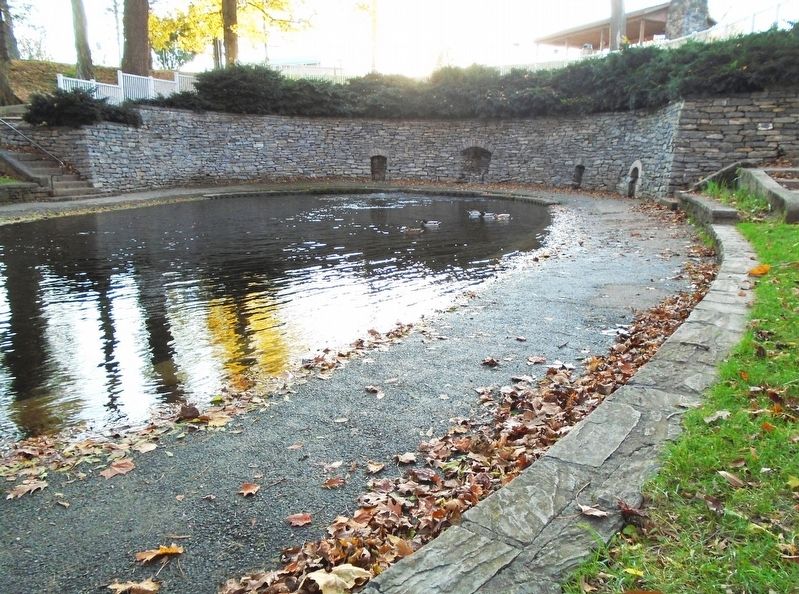
In 1855 the steep bank around the spring head was contoured. Three springs were uncovered flowing from caves to the west. From the bubbling spring, water gracefully flows eastward and is the source of the Lititz Run stream. The clear, limestone water was believed to heal rheumatism and other ailments.
Abraham Beck and his sons Paul and Herbert added the stone tablet to the wall with the inscription "Gottes Brunnlein hat Wasser die Fulle — God's Fount is Never Failing."
In 1927 a log cabin was built on the top of the hill behind the spring head by Lititz Boy Scout Troops 2 & 3 to be used as a meeting place. It is no longer used today by the scouts.
Robert "Sketch" Mearig
a collector of Lititz history, who loved Lititz Springs Park
Erected 2009.
Topics. This historical marker is listed in these topic lists: Man-Made Features • Parks & Recreational Areas • Waterways & Vessels. A significant historical year for this entry is 1855.
Location. 40° 9.436′ N, 76° 18.679′ W. Marker is in Lititz, Pennsylvania, in Lancaster County. It can be reached
this page online

Regionally, this marker is in South-Central Pennsylvania, specifically in Pennsylvania Dutch Country, and in the Susquehanna Valley. It is also in the American Northeast and in the Mid-Atlantic. Globally, it is in North America, the Western Hemisphere, the Western World, and the Anglosphere. Historically, it finds itself in what was once the Haudenosaunee (Iroquois) Confederacy and also one of the original Thirteen Colonies.
Other nearby markers. At least 8 other markers are within walking distance of this marker: Arched Bridge (a few steps from this marker); Last Memorial Day Encampment (a few steps from this marker); Music Pavilion (a few steps from this marker); Beck Memorial Band Shell (within shouting distance of this marker); An Icon of Lititz Springs Park (within shouting distance of this marker); Paul E. Beck Memorial Band Shell (within shouting distance of this marker); "Steps of Progress" (within shouting distance of this
Photographed by William Fischer, Jr., November 11, 2018
2. Springs Head-End Marker
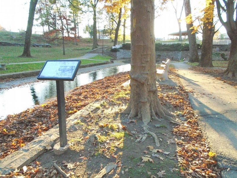
Regarding Springs Head-End. The deteriorated Boy Scout Cabin was razed in 2012 and replaced with a pavilion.
Also see . . . Lititz Springs Park History. (Submitted on November 12, 2018, by William Fischer, Jr. of Reynoldsburg, Ohio.)
Photographed by William Fischer, Jr., November 11, 2018
3. Lititz Springs Head-End
Credits. This page was last revised on January 4, 2026. It was originally submitted on November 12, 2018, by William Fischer, Jr. of Reynoldsburg, Ohio. This page has been viewed 922 times since then and 70 times this year. Photos: 1, 2, 3. submitted on November 12, 2018, by William Fischer, Jr. of Reynoldsburg, Ohio.
