Santiago de Querétaro in Querétaro, Mexico — The Central Highlands (North America)
The Historic Monuments Zone of Querétaro

Photographed By J. Makali Bruton, November 12, 2018
1. The Historic Monuments Zone of Querétaro Marker
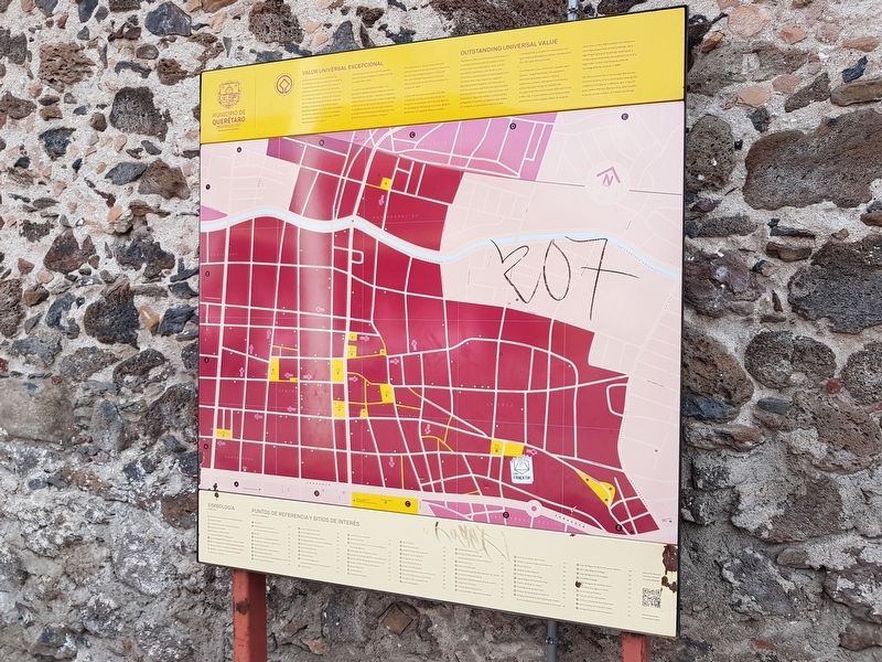
The marker includes a map and list of the most important historic sites and buildings in the historic city center. This marker is repeated in at least three other locations throughout the city center.
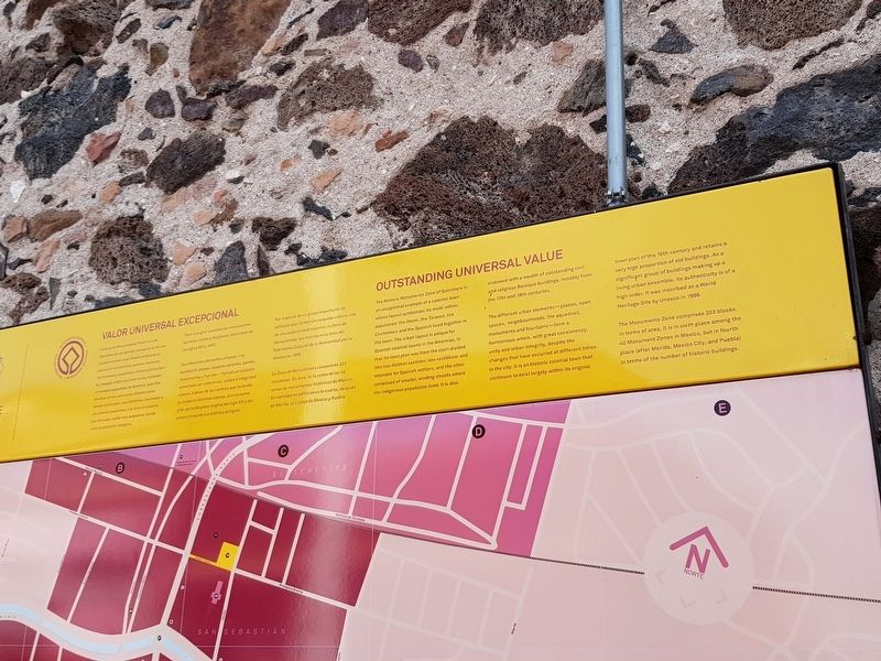
Valor Universal Excepcional
La Zona de Monumentos Históricos de Querétaro es un ejemplo excepcional de una ciudad virreinal cuyo diseño simboliza su población multiétnica: otomíes, tarascos, chichimecas y españoles vivieron juntos aquí. Su trazado urbano es único en las ciudades virreinales españoles de América, pues fue dividido en dos secciones diferenciadas desde el principio: una rectilínea, destinada a los colonos españoles, y la otra compuest por sinuosas calles más pequeñas, donde vivía la población indígena.
Tiene una gran cantidad de monumentos barrocos civiles y religiosos, sobre todo de los siglos XVII y XVIII.
Sus diferentes elementos urbanos – el acueducto, plazas, espacios abiertos, barrios, monumentos y fuentes – forman un conjunto armonioso con coherencia, unidad e integridad urbana. A pesar de los cambios que ha tenido la ciudad en distintas épocas, aún conserva gran parte del plano original del siglo XVI y las proporciones de sus edificio antiguos.
Por tratarse de un grupo importante de edificios que forman un conjunto urbano vivo de una autenticidad superior, la Zona de Monumentos fue inscrita en la lista del Patrimonio Cultural de la Humanidad por la Unesco en 1996.
La Zona de Monumentos comprende 203 manzanas. En área, es la sexta de las 40 zonas de monumentos históricos de México. En cantidad de edificios es la cuarta, después de Mérida, la Ciudad de México y Puebla.
Outstanding Universal Value
The Historic Monuments Zone of Querétaro is an exceptional example of a colonial town whose layout symbolizes its multi-ethnic population: the Otomí, the Taraso, the Chichimeca and the Spanish lived together in the town. The urban layout is unique for Spanish colonial towns in the America, in that its town plan was from the start divided into two distinct sections: one rectilinear and intended for Spanish settlers, and the other composed of smaller, winding streets where the indigenous population lived. It is also endowed with a wealth of outstanding civil and religious Baroque buildings, notably from the 17th and 18th centuries.
The different urban elements – plazas, open spaces, neighbourhoods, the aqueduct, monuments and fountains – form a harmonious whole, with great consistency, unity and urban integrity, despite the changes that have occurred at different times in the city. It is an historic colonial town that continues to exist largely within its original town
plan of the 16th century and retains a very high proportion of old buildings. As a significant group of buildings making up a living urban ensemble, its authenticity is of a high order. It was inscribed as a World Heritage Site by Unesco in 1996.
The Monuments Zone comprises 203 blocks. In terms of area, it is in sixth place among 40 Monument Zones in Mexico, but in fourth place (after Merida, Mexico City, and Puebla) in terms of the number of historic buildings.
Topics. This historical marker is listed in these topic lists: Architecture • Colonial Era • Man-Made Features • Native Americans. A significant historical year for this entry is 1996.
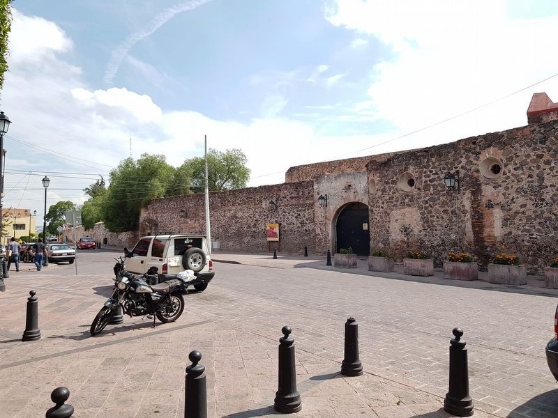
Location. 20° 35.6′ N, 100° 22.979′ W. Marker is in Santiago de Querétaro, Querétaro. Marker is at the intersection of Calle Independencia and Calle Damián Carmona, on the left when traveling west on Calle Independencia. Touch for map. Marker is in this post office area: Santiago de Querétaro QUE 76000, Mexico. Touch for directions.
Other nearby markers. At least 8 other markers are within walking distance of this marker. Friar Antonio de Jesus María Linaz Massanet (within shouting distance of this marker); Friar Antonio Margil de Jesus Ros (within shouting distance of this marker); Historical Events at the Church of the Holy Cross (within shouting distance of this marker); Founding and History of the Church of the Holy Cross (about 90 meters away, measured
in a direct line); Temple and Convent of Santa Cruz (about 90 meters away); End of the Siege of Querétaro (about 150 meters away); Friar Antonio Margil de Jésus (about 150 meters away); Friar Junipero Serra (about 150 meters away). Touch for a list and map of all markers in Santiago de Querétaro.
Credits. This page was last revised on November 19, 2018. It was originally submitted on November 19, 2018, by J. Makali Bruton of Accra, Ghana. This page has been viewed 137 times since then and 10 times this year. Photos: 1, 2, 3. submitted on November 19, 2018, by J. Makali Bruton of Accra, Ghana.

