Inverness in Citrus County, Florida — The American South (South Atlantic)
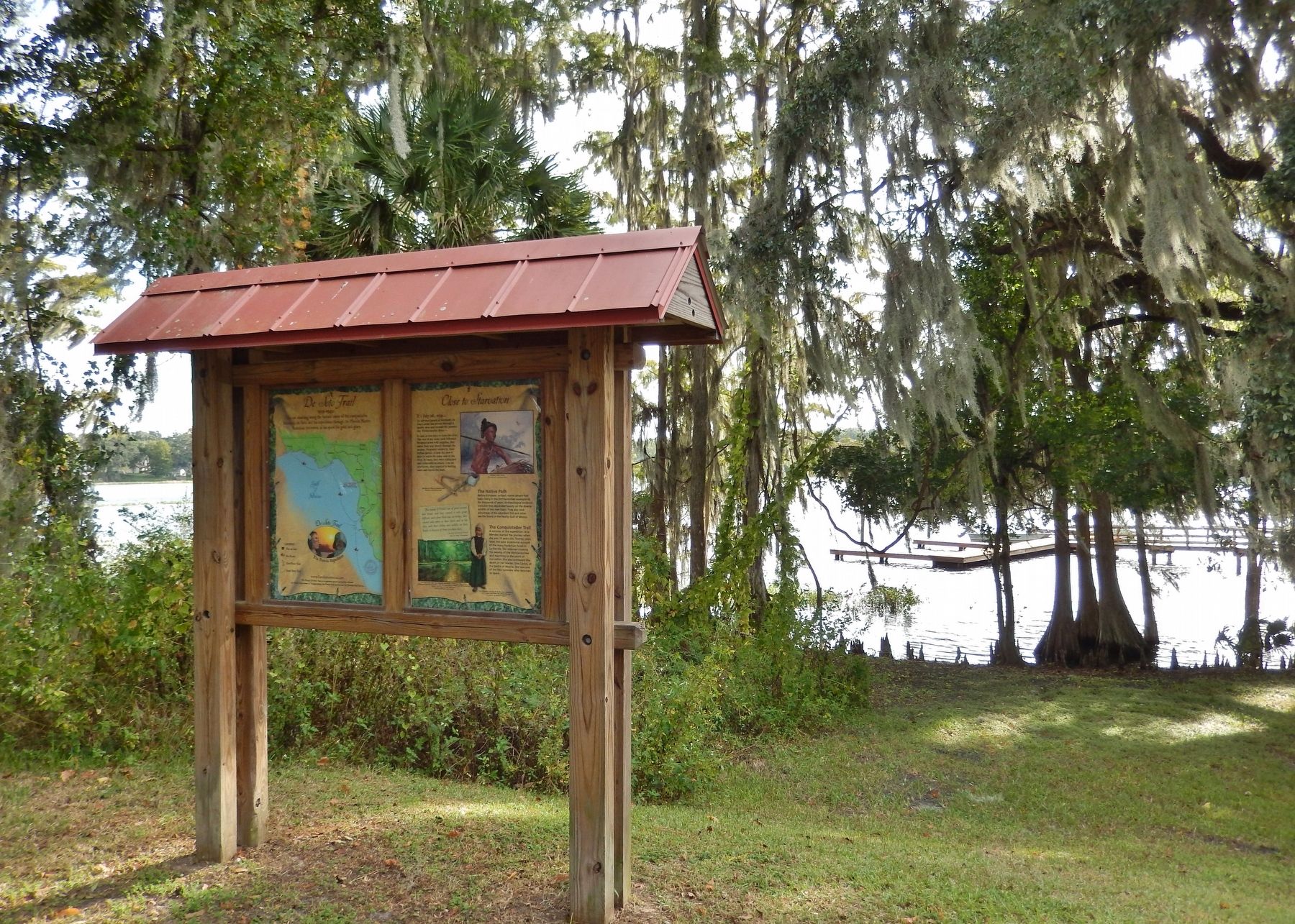
Close to Starvation
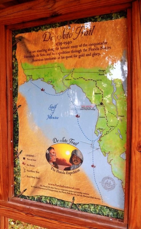
Florida De Soto Trail
— July 26, 1539 —
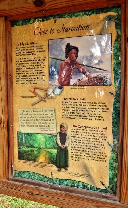
It’s July 26, 1539…
An advance guard of Hernando de Soto’s army has moved through a nearby area and crossed the present-day Withlacoochee River -
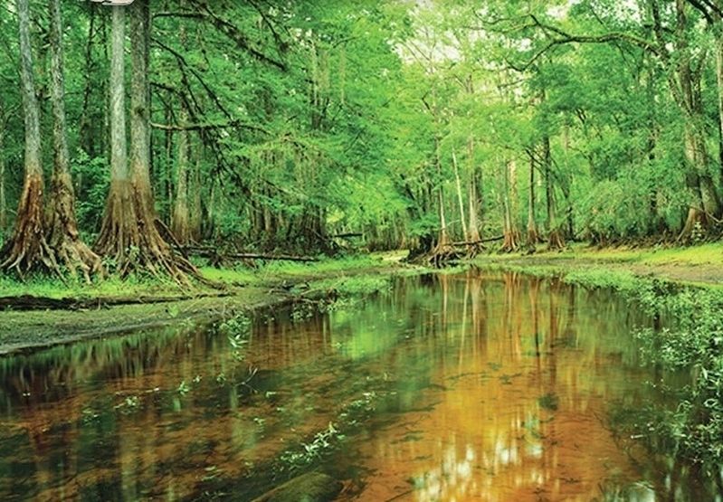
It took us two days to cross the river. The rest of our army soon followed. Weighed down with supplies, they made their way slowly through the swamp. Purposely misled by their Indian guides, it took the men 4 days to reach the other side of the river. By then, they were exhausted and vulnerable to attack. Low on provisions, they resorted to boiling roots and leaves for food.
”The swamp of [Ocale] was of great current and broad, and they crossed it with great difficult, and where there was no bridge, they crossed with water at their chests and at the chin, with their clothes and saddles on their heads, a distance of three crossbow shots.”
- Account by Rodrigo Rangel
The De Soto Chronicles
The Native Path
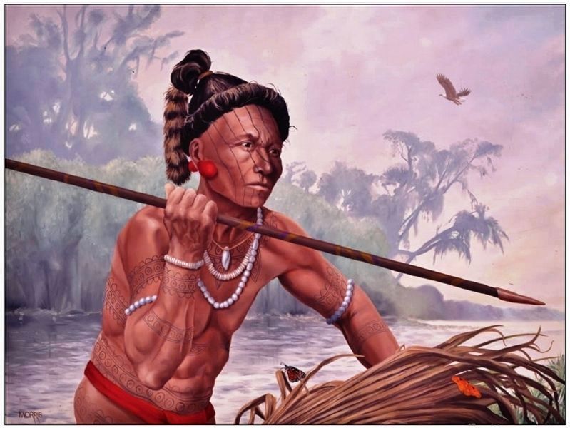
Before European contact, native people had been living in the Withlacoochee swamplands for thousands of years. Archaeological evidence indicates they depended heavily on the diverse wildlife of the river basin. They also took advantage of the abundant fish and other sea life found in the nearby Gulf of Mexico.
The Conquistador Trail
A survivor of the expedition, Ana Mendez started the journey when she was 10 years old. Twenty years later, she gave a personal account of the many hardships faced in La Florida. She endured crossing the swamp of the Withlacoochee and marching to the point of starvation. She also witnessed the death of her master, Don Carlos, at the battle of Mabila. She was one of the few survivors who returned to Spain.
Erected by Florida De Soto Trail, Florida Department of Transportation, the Florida Park Service, and the National Park Service. (Marker Number 15.)
Topics. This historical marker is listed in these topic lists: Colonial Era • Exploration • Native Americans • Notable Events. A significant historical date for this entry is July 26, 1539.
Location. 28° 50.691′ N, 82° 20.192′ W. Marker is in Inverness, Florida, in Citrus County. Marker can be reached from the intersection of East Turner Camp Road (County Road 581) and Parker Street, on the right when traveling north. Marker is located along the Withlacoochee State Trail, about 1/10 mile east of Turner Camp Road. Touch for map. Marker is in this post office area: Inverness FL 34450, United States of America. Touch for directions.
Other nearby markers. At least 8 other markers are within walking distance of this marker. R. O. Hicks House (approx. 0.6 miles away); The McLeod House (approx. 0.6 miles away); J. K. Kelly House (approx. 0.6 miles away); The Inverness Woman's Club
(approx. 0.7 miles away); 106 N. Pine Street (approx. 0.7 miles away); Coca-Cola Building (approx. 0.7 miles away); The George Carter House (approx. 0.7 miles away); The Bank of Inverness (approx. 0.7 miles away). Touch for a list and map of all markers in Inverness.
More about this marker. Marker is a large, composite plaque mounted vertically within a heavy-duty wooden kiosk.
Related markers. Click here for a list of markers that are related to this marker. Florida De Soto Trail
Also see . . .
1. The Survivors of the De Soto Expedition: Ana Mendez. This woman's presence in Florida during its exploration is well documented. When asked if it was true that after arriving at a marsh, which took three days to cross while going without food, they arrived at a province called Ocal, where food was found, she answered: That she remembered crossing that swamp, there being much water in it...which they went through with much labor in three days, but does not recall if they passed the time without food. She saw the Indians kill Don Carlos, her master, and Alfonso Vazquez was wounded by an
arrow in an ankle and was a long time lame. She also testified that they went from Florida to Mexico, wearing skins. (Submitted on November 5, 2018, by Cosmos Mariner of Cape Canaveral, Florida.)
2. De Soto’s Expedition to North America. History website entry:
In 1536, de Soto obtained a royal commission to conquer and settle the region known as La Florida (now the southeastern United States), which had been the site of earlier explorations by Juan Ponce de León and others. De Soto set out from Spain in April 1538, set with 10 ships and 700 men. After a stop in Cuba, the expedition landed at Tampa Bay in May 1539. They moved inland and eventually set up camp for the winter at a small Indian village near present-day Tallahassee. (Submitted on November 5, 2018, by Cosmos Mariner of Cape Canaveral, Florida.)
Credits. This page was last revised on November 13, 2021. It was originally submitted on November 5, 2018, by Cosmos Mariner of Cape Canaveral, Florida. This page has been viewed 381 times since then and 22 times this year. Last updated on November 21, 2018, by Cosmos Mariner of Cape Canaveral, Florida. Photos: 1, 2, 3, 4, 5. submitted on November 5, 2018, by Cosmos Mariner of Cape Canaveral, Florida. • Bernard Fisher was the editor who published this page.
