High Springs in Alachua County, Florida — The American South (South Atlantic)
Fear Stricken
Florida De Soto Trail
ó August 15, 1539 ó
Itís August 15, 1539Ö
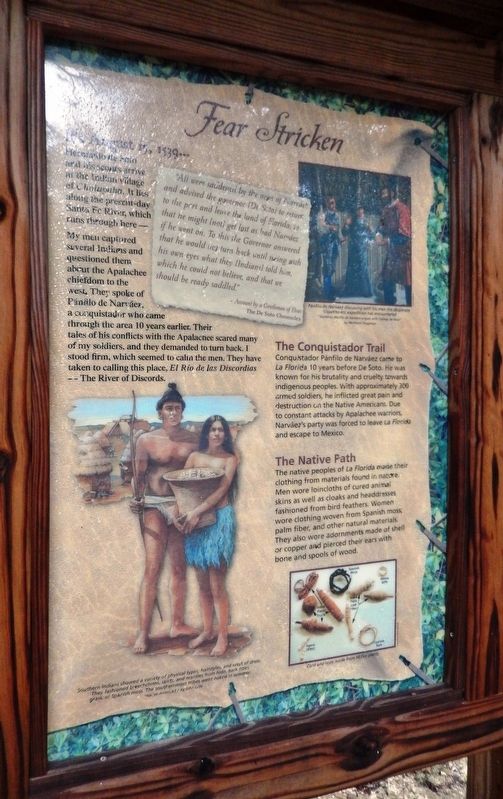
Hernando de Soto and his scouts arrive at the Indian village of Cholupaha. It lies along the present-day Santa Fe River, which runs through here –
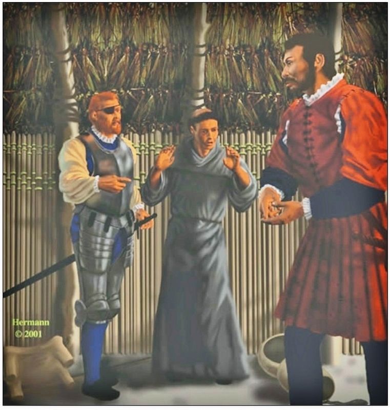
My Men captured several Indians and questioned them about the Apalachee chiefdom to the west. They spoke of PŠnfilo de NarvŠez, a conquistador who came through the area 10 years earlier. Their tales of his conflicts with the Apalachee scared many of my soldiers, and the demanded to turn back. I stood firm, which seemed to calm the men. They have taken to calling this place, El Rio de las Discordias - The River of Discords.
”All were saddened by the news of NarvŠez and advised the governor [De Soto] to return to the port and leave the land of Florida; so that he might [not] get lost as had NarvŠez if he went on. To this the Governor answered that he would not turn back until seeing with his own eyes what they [Indians] told him, which he could not believe, and that we should be ready saddled.”
- Account by a Gentleman of Elvas
The De Soto Chronicles
The Conquistador Trail
Conquistador PŠnfilo de NarvŠez came to La Florida 10 years before De Soto. He was known for his brutality and cruelty towards indigenous peoples. With approximately 300 armed soldiers, he inflicted great pain and destruction on the Native Americans. Due to constant attacks by Apalachee warriors, NarvŠezís party was forced to leave La Florida and escape to Mexico.
The Native Path
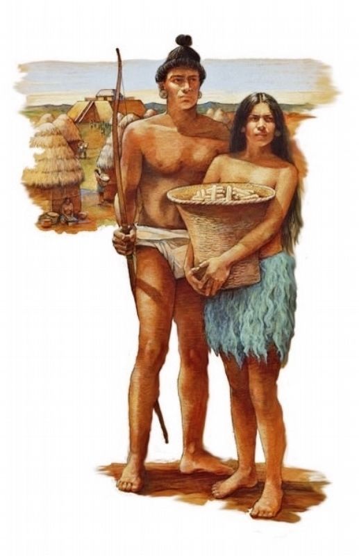
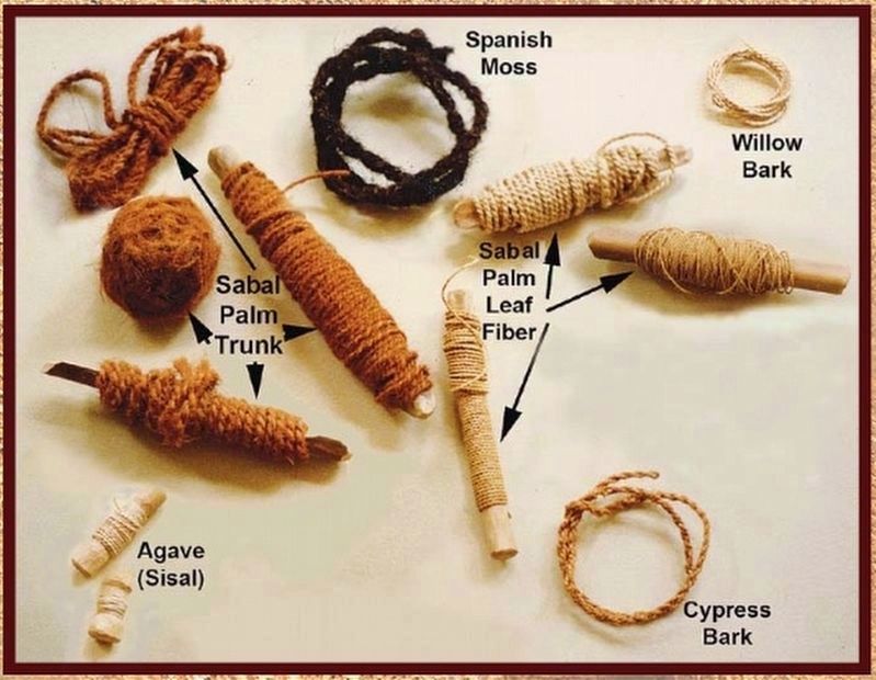
The native peoples of La Florida made their clothing from materials found in nature. Men wore loincloths of cured animal skins as well as cloaks and headdresses fashioned from bird feathers. Women wore clothing woven from Spanish moss, palm fiber, and other natural materials. They also wore adornments made of shell or copper and pierced their ears with bone and spools of wood.
Erected by Florida De Soto Trail; Florida Department of Transportation; the Florida Park Service; and the National Park Service, U.S. Department of the Interior. (Marker Number 21.)
Topics. This historical marker is listed in these topic lists: Colonial Era • Exploration • Native Americans • Notable Events. A significant historical date for this entry is August 15, 1539.
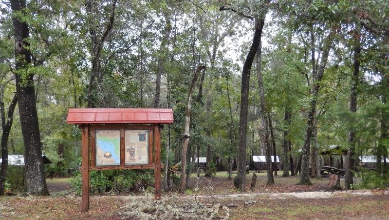
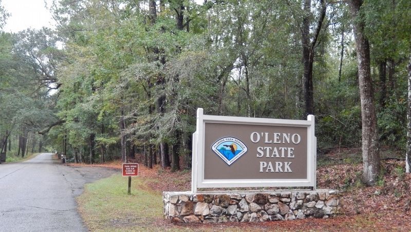
Location. 29° 54.914′ N, 82° 34.816′ W. Marker is in High Springs, Florida, in Alachua County. Marker can be reached from SE Oleno Park Road, 2 miles east of US Highway 41 (U.S. 441) when traveling east. Marker is located within Florida's O'Leno State Park, at the east end of the main parking lot. Touch for map. Marker
is at or near this postal address: 410 SE Oleno Park Road, High Springs FL 32643, United States of America. Touch for directions.
Other nearby markers. At least 8 other markers are within 4 miles of this marker, measured as the crow flies. Civilian Conservation Corps (about 300 feet away, measured in a direct line); "CCC Boy" Statue (about 300 feet away); Bellamy Road (about 300 feet away); Town of Leno (about 400 feet away); 1824 - The Bellamy Road - 1952 (approx. 3.6 miles away); William Henry Traxler (approx. 4.1 miles away); Springhill Methodist Church/Traxler, Fla. (approx. 4.1 miles away); Spring Hill United Methodist Church / Bellamy Road (approx. 4.1 miles away). Touch for a list and map of all markers in High Springs.
More about this marker. Marker is a large, composite plaque mounted vertically within a heavy-duty wooden kiosk.
Related markers. Click here for a list of markers that are related to this marker. Florida De Soto Trail
Also see . . . PŠnfilo de NarvŠez. NarvŠez sailed from Spain on June 17, 1527, with five ships and about 600 soldiers, sailors, and colonists. After claiming the land for Spain, NarvŠez began an overland expedition in May with about 300 men. The force made a difficult and distressing march northward, continually fighting Indians, until the survivors reached the area of present-day St. Marks, Florida, near the end of July. NarvŠezís suffering
survivors drifted along the northern part of the Gulf of Mexico, passing Pensacola Bay and the mouth of the Mississippi River. As the journey progressed, the boats were gradually lost, and at about the beginning of November 1528, NarvŠez disappeared when his own vessel was suddenly blown out to sea. Only four men survived the expedition. (Submitted on November 6, 2018, by Cosmos Mariner of Cape Canaveral, Florida.)
Photographed By Cosmos Mariner, November 2, 2018
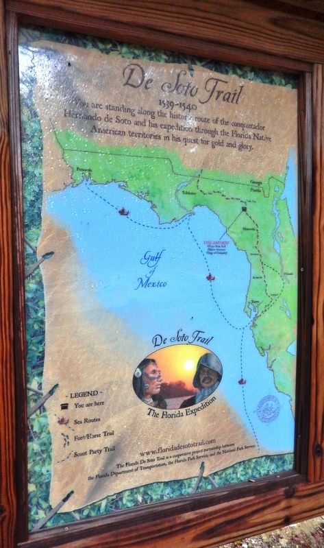
5. Florida De Soto Trail Map (panel to the left of marker in kiosk)
1539-1540
Credits. This page was last revised on January 3, 2021. It was originally submitted on November 6, 2018, by Cosmos Mariner of Cape Canaveral, Florida. This page has been viewed 479 times since then and 54 times this year. Last updated on November 21, 2018, by Cosmos Mariner of Cape Canaveral, Florida. Photos: 1, 2, 3. submitted on November 6, 2018, by Cosmos Mariner of Cape Canaveral, Florida. 4. submitted on December 27, 2018, by Cosmos Mariner of Cape Canaveral, Florida. 5, 6. submitted on November 6, 2018, by Cosmos Mariner of Cape Canaveral, Florida. 7. submitted on December 27, 2018, by Cosmos Mariner of Cape Canaveral, Florida. • Bernard Fisher was the editor who published this page.
