Crawfordville in Wakulla County, Florida — The American South (South Atlantic)
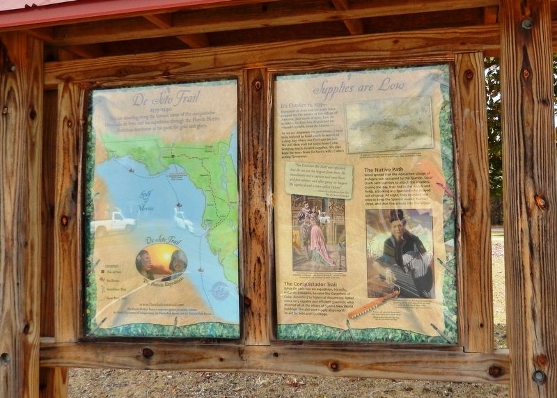
Supplies Are Low
Florida De Soto Trail
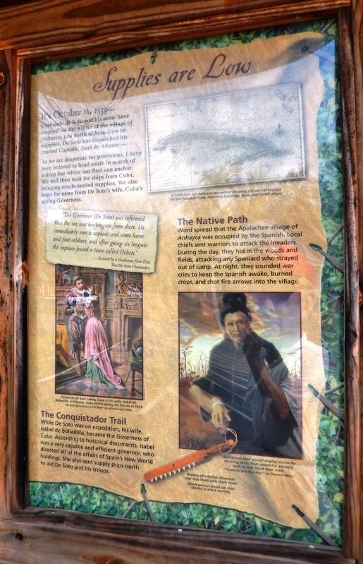
— October 11, 1539 —
Hernando de Soto and his army have stopped for the winter at the village of Anhayca, just north of here. Low on supplies, De Soto has dispatched his trusted Captain, Juan de Añasco…
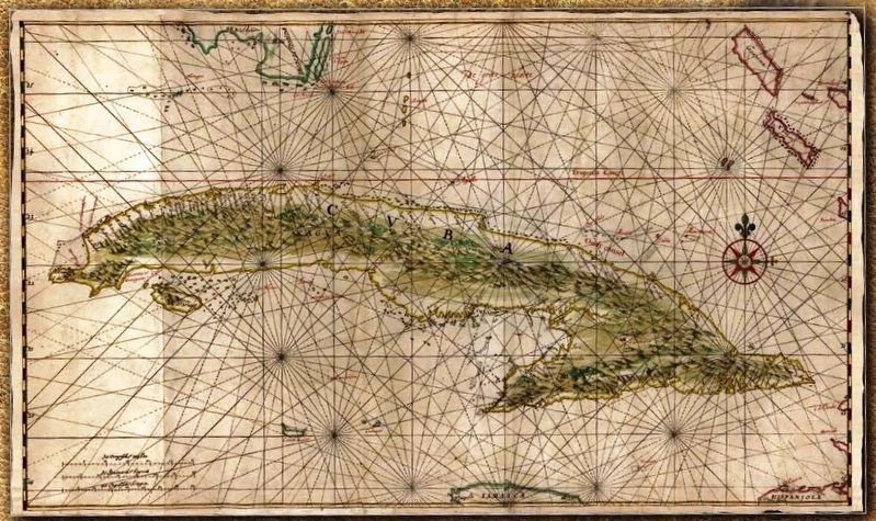
As we are desperate for provisions, I have been ordered to head south in search of a deep bay where our fleet can anchor. We will then wait for ships from Cuba, bringing much-needed supplies. We also hope for news from De Soto’s wife, Cuba’s acting Governess.
”The Governor [De Soto] was informed that the sea was ten leagues from here. He immediately sent a captain and some horse and foot soldiers, and after going six leagues the captain found a town called Ochete.”
- Account by a Gentleman from Elvas
The De Soto Chronicles
The Conquistador Trail
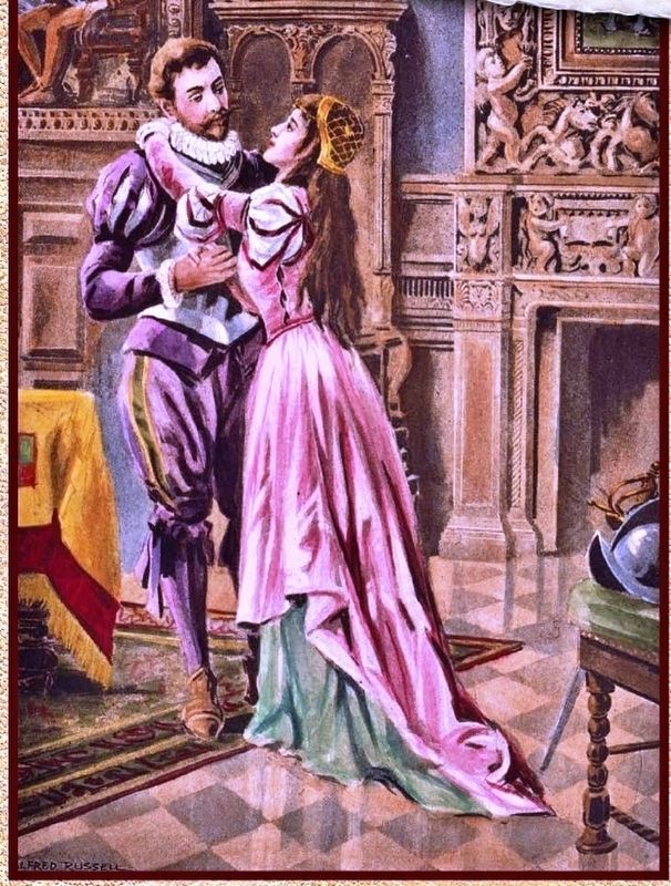
While De Soto was on expedition, his wife, Isabel de Bobadilla, became the Governess of Cuba. According to historical documents, Isabel was a very capable and efficient governor, who directed all of the affairs of Spain’s New World holdings. She also sent supply ships north to aid De Soto and his troops.
The Native Path
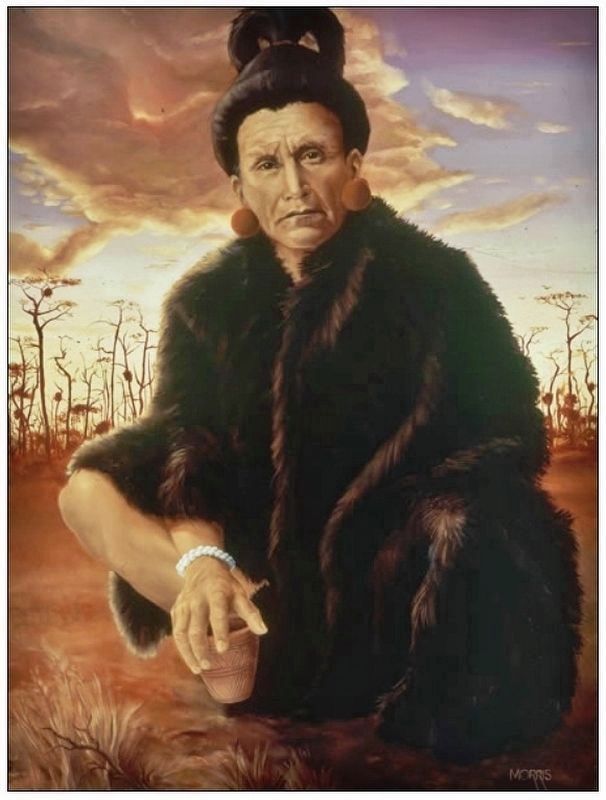
Word spread that the Apalachee village of Anhayca was occupied by the Spanish. Local chiefs sent warriors to attack the invaders. During the day, they hid in the woods and fields, attacking any Spaniard who strayed out of camp. At night, they sounded war cries to keep the Spanish awake, burned crops, and shot fire arrows into the village.
Erected by Florida De Soto Trail, Florida Department of Transportation, the Florida Park Service, and the National Park Service. (Marker Number 30.)
Topics. This historical marker is listed in these topic lists: Colonial Era • Exploration • Native Americans • Notable Events. A significant historical date for this entry is October 11, 1539.
Location. 30° 14.71′ N, 84° 14.118′ W. Marker is in Crawfordville, Florida, in Wakulla County. Marker can be reached from Old Woodville Road, ¼ mile south of Cumberland Trace (South Springwood Boulevard), on the right when traveling south. Marker is located near the southeast corner of the parking lot, within the Wakulla Station Trailhead Park, on the St. Marks Historic Railroad State Trail. Touch for map. Marker is at or near this postal address: 1358 Old Woodville Road, Crawfordville FL 32327, United States of America. Touch for directions.
Other nearby markers. At least 8 other markers are within 6 miles of this marker, measured as the crow flies. A Point in Prehistory (approx. 4 miles away); Wakulla Springs Archaeological & Historic District (approx. 4 miles away); Edward Ball (approx. 4 miles away); Site of the Former Town of Magnolia
(approx. 4.8 miles away); Confederate Monument (approx. 5.7 miles away); Honoring the Confederate and Union Soldiers (approx. 5.7 miles away); Battle of Natural Bridge (approx. 5.7 miles away); Union Army (approx. 5.7 miles away).
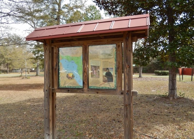
More about this marker. Marker is a large, composite plaque mounted vertically within a heavy-duty wooden kiosk.
Related markers. Click here for a list of markers that are related to this marker. Florida De Soto Trail
Also see . . . La Giraldilla Havana’s Emblem of Love. No visitor to the Cuban capital will fail to notice the beautiful bronze statuette, "La Giraldilla," standing at just over a meter tall, sitting on top of the Castillo de la Real Fuerza - the Royal Castle - in Old Havana. After taking up his post in Cuba, De Soto left for Florida with nine ships and nine hundred soldiers, leaving his wife in charge of the island. Records from the time indicate that Isabel de Bobadilla, De Soto’s loyal and loving wife, spent years sitting in the castle tower looking out at the horizon over Havana Bay, searching for signs of the boat that might bring her hubsnd back. But sadly this was never to happen and they say Isabel died of a broken heart. Only a few years later Gerónimo Martín Pinzón, an artist with origins in the Canary Islands, sculpted
the statuette in memory of this loyal woman. (Submitted on October 26, 2018, by Cosmos Mariner of Cape Canaveral, Florida.)
Photographed By Cosmos Mariner, March 11, 2015
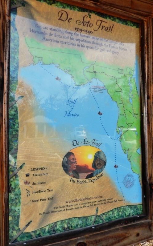
5. De Soto Trail Map (panel to the left of marker in kiosk)
1539-1540
Credits. This page was last revised on January 13, 2021. It was originally submitted on October 25, 2018, by Cosmos Mariner of Cape Canaveral, Florida. This page has been viewed 314 times since then and 30 times this year. Last updated on November 21, 2018, by Cosmos Mariner of Cape Canaveral, Florida. Photos: 1, 2, 3. submitted on October 26, 2018, by Cosmos Mariner of Cape Canaveral, Florida. 4. submitted on November 4, 2018, by Cosmos Mariner of Cape Canaveral, Florida. 5, 6, 7. submitted on October 26, 2018, by Cosmos Mariner of Cape Canaveral, Florida. • Bernard Fisher was the editor who published this page.
