Fredericksburg in Gillespie County, Texas — The American South (West South Central)
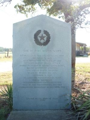
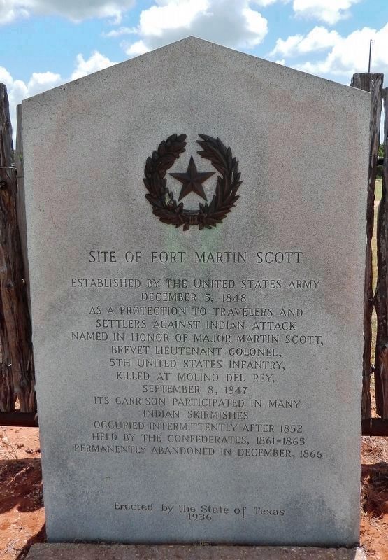
Site of Fort Martin Scott
December 5, 1848
as a protection to travelers and
settlers against Indian attack.
Named in honor of Major Martin Scott,
Brevet Lieutenant Colonel,
5th United States Infantry,
killed at Molino del Rey,
September 8, 1847.
Its garrison participated in many
Indian skirmishes.
Occupied intermittently after 1852,
held by the Confederates, 1861-1865,
permanently abandoned in December, 1866.
Erected by the State of Texas
1936
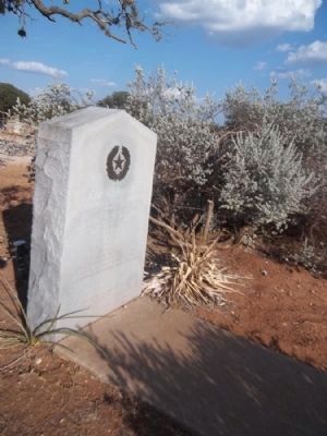
Erected 1936 by the State of Texas. (Marker Number 10039.)
Topics and series. This historical marker is listed in these topic lists: Forts and Castles • Native Americans • War, US Civil • Wars, US Indian. In addition, it is included in the Texas 1936 Centennial Markers and Monuments series list. A significant historical month for this entry is September 1709.
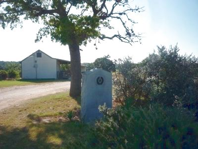
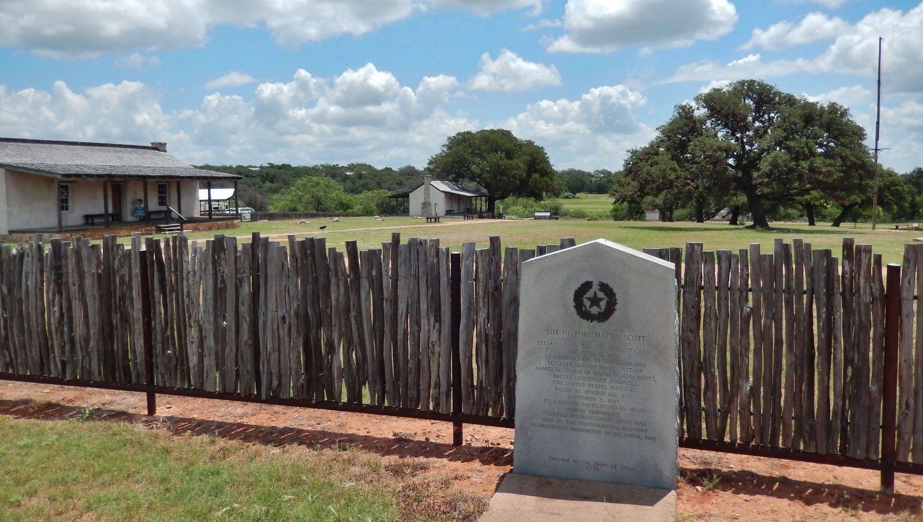
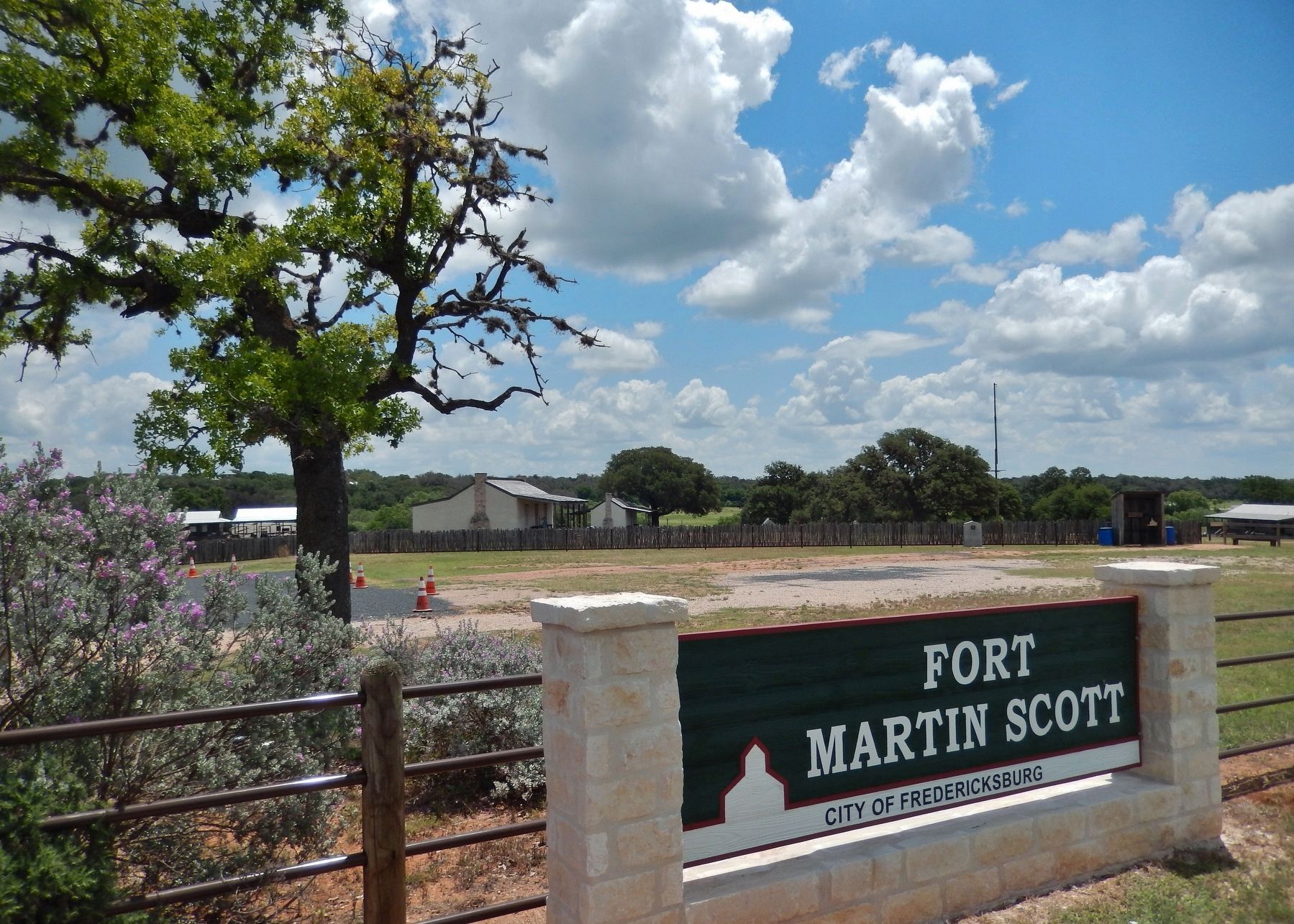
Location. 30° 14.983′ N, 98° 50.828′ W. Marker is in Fredericksburg, Texas, in Gillespie County. Marker is on East Main Street (U.S. 290) south of Industial Loop, on the right when traveling west. Marker is east of the highway at the entrance to the Gillespie County Fort Martin Scott Park/Museum. Touch for map. Marker is at or near this postal address: 1606 East Main Street, Fredericksburg TX 78624, United States of America. Touch for directions.
Other nearby markers. At least 8 other markers are within walking distance of this marker. Commanding the Fort (a few steps from this marker); Officers Row (within shouting distance of this marker); The Comanche Indians (within shouting distance of this marker); The Town and the Fort (within shouting distance of this marker); The Barracks (about 400 feet away, measured in a direct line); Uncovering the Past (about 400 feet away); Peace with the Indians (about 500 feet away); The Sutler's Store (about 600 feet away). Touch for a list and map of all markers in Fredericksburg.
Related markers. Click here for a list of markers that are related to this marker. Fort Martin Scott
Also see . . . Fort Martin Scott. (Submitted on September 19, 2010, by Richard E. Miller of Oxon Hill, Maryland.)
Additional keywords. U.S. National Register of Historic Places, 1980; Gillespie County Historical Society.
Photographed By Steve Gustafson, June 14, 2008
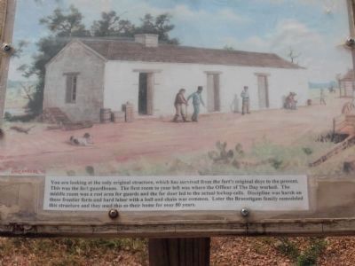
8. Guardhouse diagram
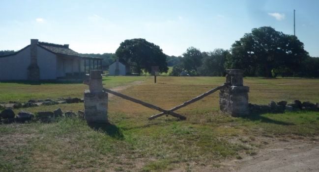
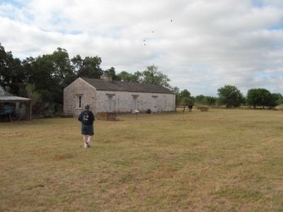
You are looking at the only original structure, which has survived from the fort's original days to the present. This was the fort guardhouse. The first room to your left was where the Officer of The Day worked. The middle room was a rest area for guads and the far door let to the actual lockup cells. Discipline was harsh on these frontier forts and hard labor with a ball and chain was common. Later the Braeutigam family remodeled this structure and they used this as their home for over 80 years.
Credits. This page was last revised on September 14, 2020. It was originally submitted on September 19, 2010, by Richard E. Miller of Oxon Hill, Maryland. This page has been viewed 2,431 times since then and 115 times this year. Last updated on November 30, 2018, by Brian Anderson of Humble, Texas. Photos: 1, 2, 3. submitted on September 19, 2010, by Richard E. Miller of Oxon Hill, Maryland. 4. submitted on February 23, 2012, by Zacharias Beau T of Alpine, Texas. 5, 6. submitted on June 9, 2018, by Cosmos Mariner of Cape Canaveral, Florida. 7, 8. submitted on September 27, 2010, by Steve Gustafson of Lufkin, Texas. 9. submitted on June 9, 2018, by Cosmos Mariner of Cape Canaveral, Florida. • Bernard Fisher was the editor who published this page.
