Near Cable in Champaign County, Ohio — The American Midwest (Great Lakes)
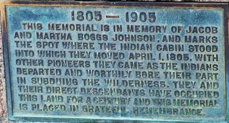
Jacob and Martha Boggs Johnson
1805- 1905
| — | Century Farm, from Indian Cabin | — |
Photographed by Rev. Ronald Irick, December 10, 2018
1. Jacob and Martha Boggs Johnson Marker
close up of plaque
Erected 1905 by Johnson Family.
Topics. This historical marker is listed in these topic lists: Agriculture • Cemeteries & Burial Sites • Indigenous Peoples and Communities • Settlements & Settlers.
Location. 40° 13.183′ N, 83° 38.928′ W. Marker is near Cable, Ohio, in Champaign County. It can be reached from Stevenson Road (County Route 11). Marker is in an old private cemetery in the middle of a large farm, north of Mingo, Ohio. It can be reached from a long driveway at 5596 Stevenson Rd, north of Mingo, Ohio. Touch for map. Marker is at or near this postal address: 7044 Stevenson Rd, Cable OH 43009, United States of America. Touch for directions.

Regionally,
this page online
Other nearby markers. At least 8 other markers are within 5 miles of this marker, measured as the crow flies: Mt. Tabor Church / Mt. Tabor Cemetery (approx. 2½ miles away); Ohio Caverns (approx. 2.8 miles away); Lincoln Funeral Train (approx. 3½ miles away); The Ludlow Road / The Ludlow Line (approx. 3.6 miles away); North Lewisburg, Ohio Veterans Memorial (approx. 3.9 miles away); Mac-O-Chee Castle (approx. 4.4 miles away); The Barn at Mac-A-Cheek Castle (approx. 4.6 miles away); Storing the Crops, Livestock and Machinery (approx. 4.6 miles away). Touch for a list and map of all markers in Cable.
Photographed by Rev. Ronald Irick, December 10, 2018
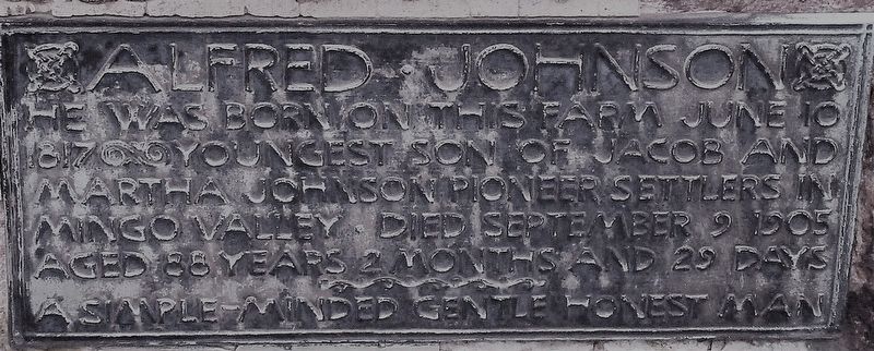
2. Jacob and Martha Boggs Johnson Marker
2nd plaque on nearby boulder
Photographed by Rev. Ronald Irick, December 10, 2018
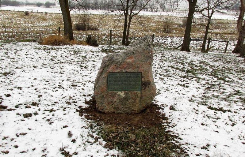
3. Jacob and Martha Boggs Johnson Marker
full view of marker
Photographed by Rev. Ronald Irick, December 10, 2018
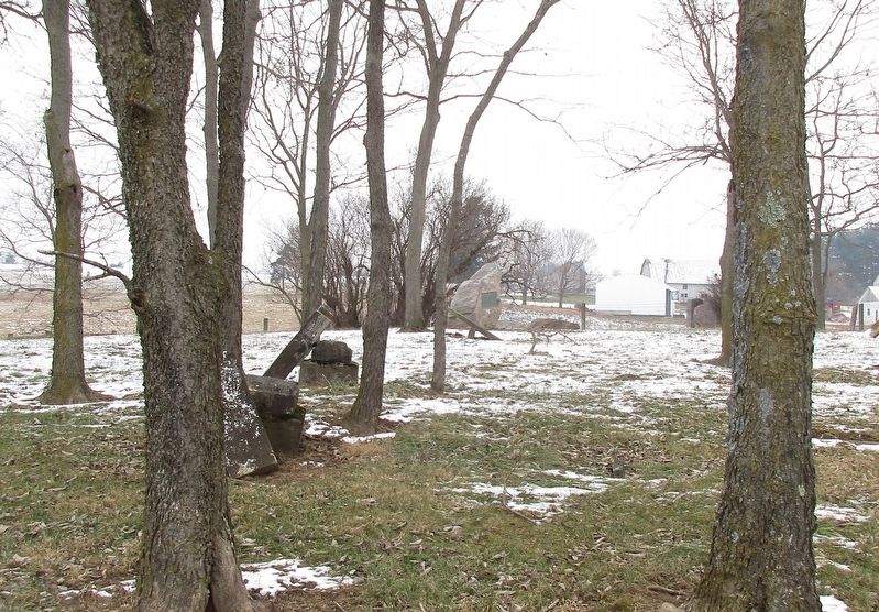
4. Jacob and Martha Boggs Johnson Marker
marker as seen from a distance, looking north from farm lane
Photographed by Rev. Ronald Irick, December 10, 2018
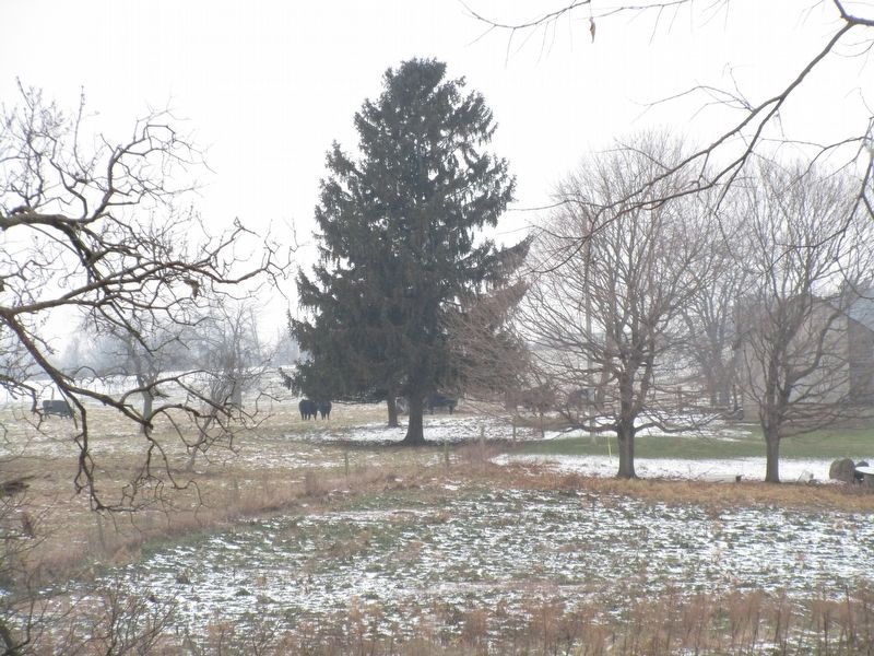
5. Jacob and Martha Boggs Johnson Marker
pine tree about a 1/4 mile north of the cemetery, original site of the boulder and plaque; where the Indian cabin was located
Photographed by Rev. Ronald Irick, December 10, 2018
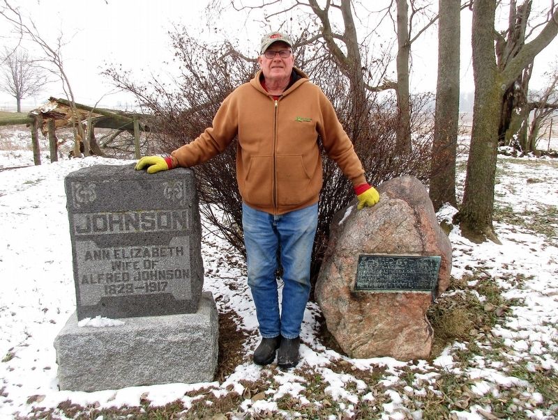
6. Jacob and Martha Boggs Johnson Marker
Eric Johnson, descendant of Jacob Johnson; and current owner and steward of the farm and cemetery
Credits. This page was last revised on December 13, 2018. It was originally submitted on December 10, 2018, by Rev. Ronald Irick of West Liberty, Ohio. This page has been viewed 622 times since then and 35 times this year. Photos: 1, 2, 3, 4, 5, 6. submitted on December 10, 2018, by Rev. Ronald Irick of West Liberty, Ohio. • Bill Pfingsten was the editor who published this page.
