Key West in Monroe County, Florida — The American South (South Atlantic)
United States Weather Bureau
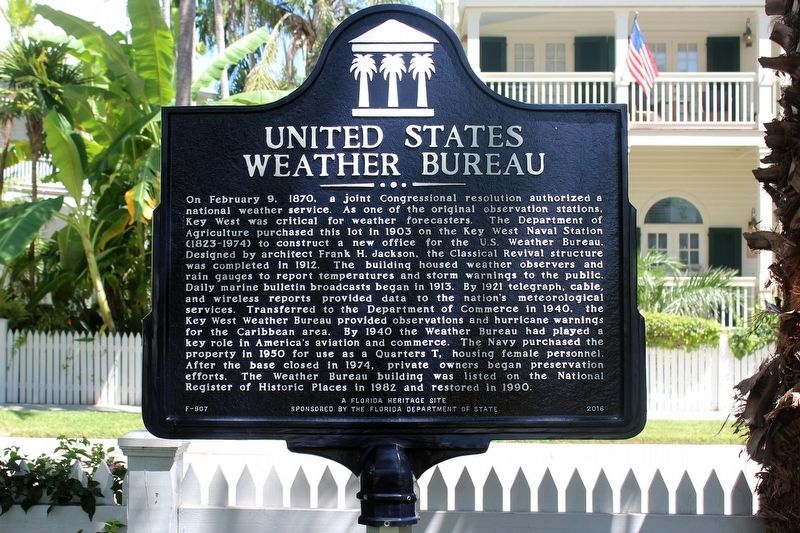
Photographed by Tim Fillmon, September 18, 2018
1. United States Weather Bureau Marker
Inscription.
United States Weather Bureau. . On February 9, 1870, a joint Congressional resolution authorized a national weather service. As one of the original observation stations, Key West was critical for weather forecasters. The Department of Agriculture purchased this lot in 1903 on the Key West Naval Station (1823-1974) to construct a new office for the U.S. Weather Bureau. Designed by architect Frank H. Jackson, the Classical Revival structure was completed in 1912. The building housed weather observers and rain gauges to report temperatures and storm warnings to the public. Daily marine bulletin broadcasts began in 1913. By 1921 telegraph, cable, and wireless reports provided data to the nation's meteorological services. Transferred to the Department of Commerce in 1940, the Key West Weather Bureau provided observations and hurricane warnings for the Caribbean area. By 1940 the Weather Bureau had played a key role in Americas aviation and commerce. The Navy purchased the property in 1950 for use as Quarters T, housing female personnel. After the base closed in 1974, private owners began preservation efforts. The Weather Bureau building was listed on the National Register of Historic Places in 1982 and restored in 1990.
On February 9, 1870, a joint Congressional resolution authorized a national weather service. As one of the original observation stations, Key West was critical for weather forecasters. The Department of Agriculture purchased this lot in 1903 on the Key West Naval Station (1823-1974) to construct a new office for the U.S. Weather Bureau. Designed by architect Frank H. Jackson, the Classical Revival structure was completed in 1912. The building housed weather observers and rain gauges to report temperatures and storm warnings to the public. Daily marine bulletin broadcasts began in 1913. By 1921 telegraph, cable, and wireless reports provided data to the nation's meteorological services. Transferred to the Department of Commerce in 1940, the Key West Weather Bureau provided observations and hurricane warnings for the Caribbean area. By 1940 the Weather Bureau had played a key role in Americas aviation and commerce. The Navy purchased the property in 1950 for use as Quarters T, housing female personnel. After the base closed in 1974, private owners began preservation efforts. The Weather Bureau building was listed on the
Click or scan to see this page online
National Register of Historic Places in 1982 and restored in 1990.
Erected 2016 by The Florida Department of State. (Marker Number F-907.)
Location. 24° 33.292′ N, 81° 48.395′ W. Marker is in Key West, Florida, in Monroe County. It is at the intersection of Front Street and Eaton Street, on the right when traveling south on Front Street. Touch for map. Marker is at or near this postal address: 57 Front Street, Key West FL 33040, United States of America. Touch for directions.

Regionally, this marker is on the Florida Keys. It is also in the American South and on the Gulf Coast. Globally, it is in the North Atlantic Region, North America, a Gulf of Mexico state, the Western Hemisphere, the Western World, and the Anglosphere. Historically, it finds itself in what was once New Spain, the territory of the Mississippian Culture, one of the Confederate States of America, and the Antebellum South.
Other nearby markers. At
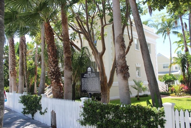
Photographed by Tim Fillmon, September 18, 2018
2. United States Weather Bureau Marker and building
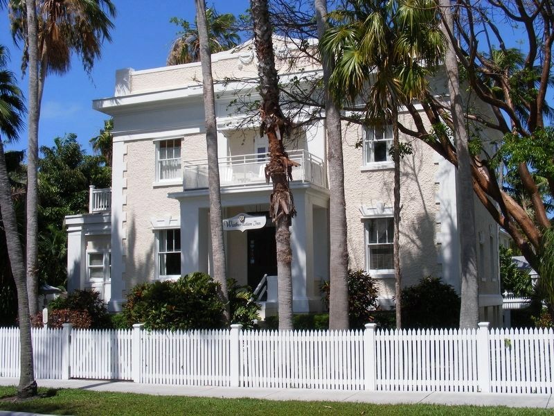
Credits. This page was last revised on May 14, 2024. It was originally submitted on December 16, 2018, by Tim Fillmon of Webster, Florida. This page has been viewed 536 times since then and 27 times this year. Photos:1, 2. submitted on December 16, 2018, by Tim Fillmon of Webster, Florida. 3. submitted on May 13, 2024, by Pete Payette of Orange, Virginia. • Bernard Fisher was the editor who published this page.
