Daphne in Baldwin County, Alabama — The American South (East South Central)
The Eastern Shore Trail
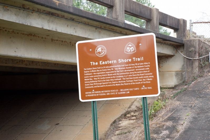
Photographed by Sandra Hughes, January 17, 2019
1. The Eastern Shore Trail Marker
Driving or parking motorized vehicles including golf carts on the trail is prohibited by Federal and State of Alabama Law
Topics. This historical marker is listed in these topic lists: Environment • Roads & Vehicles • Waterways & Vessels.
Location. 30° 39.079′ N, 87° 54.735′ W. Marker is in Daphne, Alabama, in Baldwin County. It is on N Main St. Marker is part
this page online

Regionally, this marker is on the Gulf Coast and in the Mobile Bay area. It is also in the American South, specifically in the Deep South, and on the Gulf Coast. Globally, it is in North America, a Gulf of Mexico state, the Western Hemisphere, the Western World, and the Anglosphere. Historically, it finds itself in what was once New Spain, the Viceroyalty of New France, the territory of the Mississippian Culture, one of the Confederate States of America, and the Antebellum South.
Other nearby markers. At least 8 other markers are within 2 miles of this marker, measured as the crow flies: “Damn The Torpedoes!” (approx. half a mile away); Stop 7 Fort McDermott: (approx. half a mile away); Stop 8 The Eighth Iowa Line: (approx. half a mile away); Revolutionary War Battlefield and Burial Ground at Spanish Fort (1780-1781) (approx. half a mile away); Fuller Memorial Park (approx. 0.9 miles away); Union Siege Battery No. 1 (approx. one mile away); Spanish Fort (approx. 1.2 miles away);
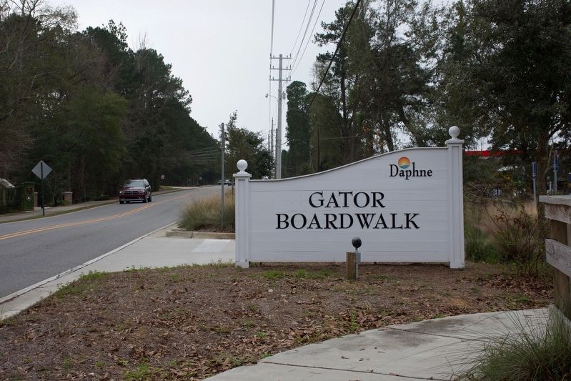
Photographed by Sandra Hughes, January 17, 2019
2. The Eastern Shore Trail Marker
Daphne Gator Boardwalk
Credits. This page was last revised on July 26, 2022. It was originally submitted on January 19, 2019, by Sandra Hughes Tidwell of Killen, Alabama, USA. This page has been viewed 1,091 times since then and 79 times this year. Photos: 1, 2. submitted on January 19, 2019, by Sandra Hughes Tidwell of Killen, Alabama, USA. • Bill Pfingsten was the editor who published this page.
