Near Diablo in Whatcom County, Washington — The American West (Northwest)
Chain of Dams
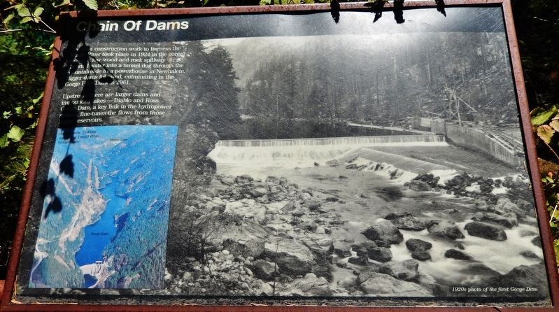
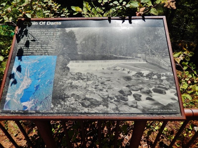
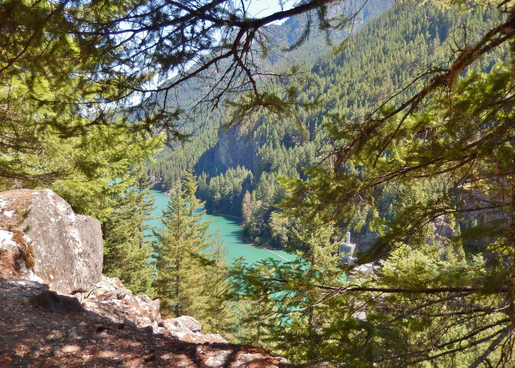
Upstream there are larger dams and impounded lakes – Diablo and Ross. Gorge Dam, a key link in the hydropower system, fine-tunes the flows from those larger reservoirs.
(photo captions)
• Aerial view looking upstream (east) from Gorge Lake
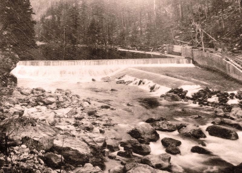
• 1920s photo of the first Gorge Dam
Topics. This historical marker is listed in these topic lists: Man-Made Features • Natural Resources • Parks & Recreational Areas • Waterways & Vessels. A significant historical year for this entry is 1924.
Location. 48° 42.023′ N, 121° 12.551′ W. Marker is near Diablo, Washington, in Whatcom County. Marker can be reached from North Cascades Highway (Washington Route 20 at milepost 125), 2˝ miles west of Diablo Street, on the left when traveling west. Marker is located along the Gorge Overlook Trail. Access is via the parking lot on the south side of the highway, just west of Gorge Creek. Touch for map. Marker is in this post office area: Marblemount WA 98267, United States of America. Touch for directions.
Other nearby markers. At least 8 other markers are within 6 miles of this marker, measured as the crow flies. Transmission Lines (within shouting distance of this marker); Gorge High Dam (about 400 feet away, measured in a direct line); Lighting of the Falls (approx. 2.2 miles away); Electric Forest (approx. 2.2 miles away); Welcome to Ladder Creek Falls & Gardens (approx. 2.2 miles away); Gorge Powerhouse (approx. 2.3 miles away); Old Number 6 (approx. 2˝ miles away); The North Cascades (approx. 5.2 miles away). Touch for a list and map of all markers in Diablo.
More about this marker. Marker is a large, framed, rectangular composite plaque, mounted horizontally, at waist-level, on the overlook railing.
Related markers. Click here for a list of markers that are related to this marker. Skagit River Hydroelectric Project
Also see . . . Upper Skagit River Hydroelectric Project. Superintendent Ross had estimated in 1919 that the first power would reach Seattle in 18 months, but in 1921 he admitted that it would be two more years before the Gorge Dam produced electricity. A concrete dam would have been too expensive, so chief engineer Carl Uhden (the city council didn't trust Ross and insisted on an outside expert to run the project) decided on a lower temporary wood structure, to be replaced by a concrete one at a later date. On September 14, 1924, the first electrical power generated from the Skagit River reached Seattle, 100 miles away. The fate of the Skagit was sealed. The only questions that remained were how many dams and where to put them. (Submitted on January 29, 2019, by Cosmos Mariner of Cape Canaveral, Florida.)
Credits. This page was last revised on January 30, 2019. It was originally submitted on January 28, 2019, by Cosmos Mariner of Cape Canaveral, Florida. This page has been viewed 179 times since then and 16 times this year. Photos: 1, 2, 3, 4. submitted on January 29, 2019, by Cosmos Mariner of Cape Canaveral, Florida. • Andrew Ruppenstein was the editor who published this page.


