Centro histórico de Morelia , Michoacán, Mexico — The Pacific Coast (and Central Highlands)
Mariano Matamoros
Photographed by J. Makali Bruton, January 27, 2019
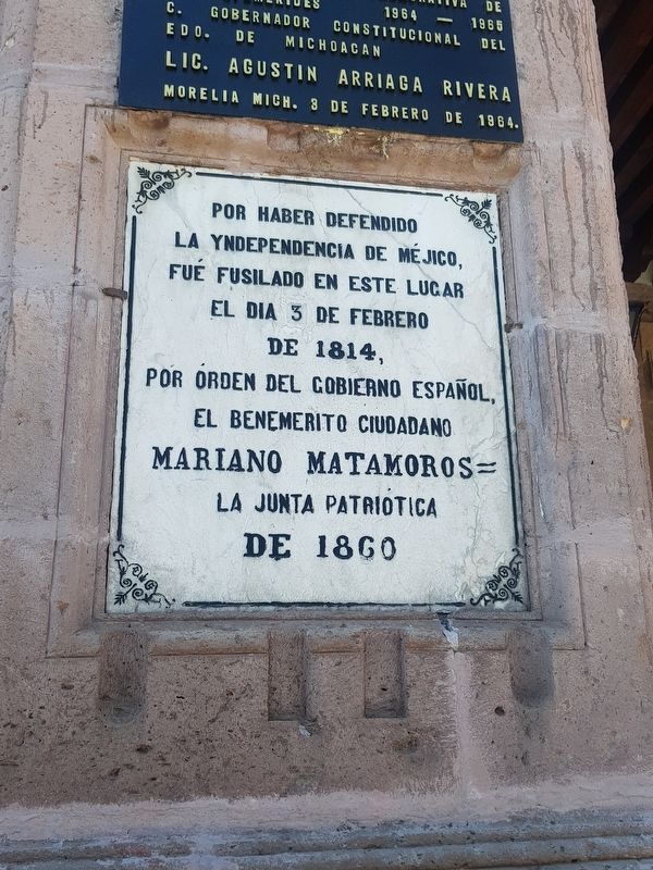
1. Mariano Matamoros Marker

Por haber defendido la yndependencia de Méjico, fue fusilado en este lugar el dia 3 de febrero de 1814, por orden del gobierno español, el benemérito ciudadano Mariano Matamoros
La Junta Patriótica de 1860
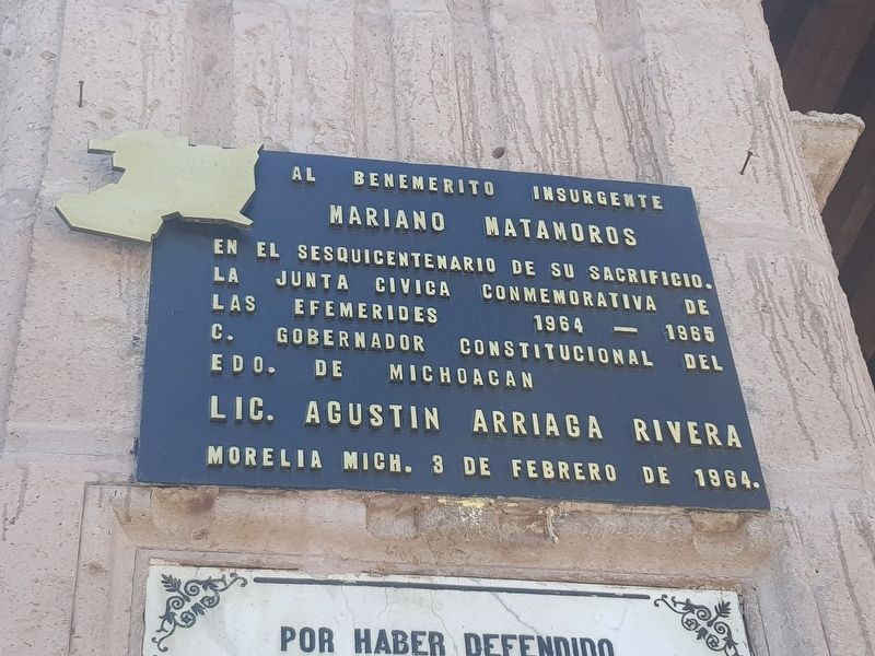
Al benemérito insurgente Mariano Matamoros en el sesquicentenario de su sacrificio.
La Junta Civica conmemorativa de las efemérides 1964-1965
C. Gobernador Constitucional del Edo. de Michoacan
Lic. Agustin Arriaga Rivera
Morelia Mich. 3 de febrero de 1964.
For defending the independence of Mexico, the worthy citizen Mariano Matamoros was shot in this place on February 3, 1814, by order of the Spanish government.
The Patriotic Board of 1860
To the meritorious insurgent Mariano Matamoros, in the sesquicentennial of his sacrifice.
The Civic History Board of 1964-1965
Constitutional Governor of the State of Michoacán, Agustín Arriaga Rivera
Morelia, Michoacán, February 3, 1964.
Erected 1860 by La Junta Patriótica.
Topics. This memorial is listed in these topic lists: Colonial Era • Law Enforcement • Patriots & Patriotism • Wars, Non-US. A significant historical date for this entry is February 3, 1814.
Location. 19° 42.15′ N,
this page online

Regionally, this memorial is in Western Mexico, in the Bajío, and on the Pacific Coast. Globally, it is in North America, specifically in Mesoamerica, on the Ring of Fire, on the Pacific Rim, and in the Western Hemisphere. Historically, it finds itself in what was once New Spain, a Spanish colony, and the Aztec Empire.
Other nearby markers. At least 8 other markers are within walking distance of this marker: The Matamoros Portal (within shouting distance of this marker); Plaza of the Martyrs and Founding of Morelia (within shouting distance of this marker); Consistorial House (about 90 meters away, measured in a direct line); El Colegio Primitivo y Nacional de San Nicolás de Hidalgo (about 90 meters away); José Guadalupe Salto (about 90 meters away); House of José Mariano y Nicolás Michelena (about 90 meters away);
Photographed by J. Makali Bruton, January 27, 2019
2. An additional Mariano Matamoros Marker
Also see . . . Mariano Matamoros. (Submitted on February 6, 2019, by J. Makali Bruton of Washington, District of Columbia.)
Photographed by J. Makali Bruton, January 27, 2019
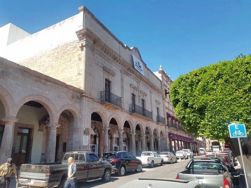
3. Mariano Matamoros Markers
The markers are to the left of the building seen in this view.
Credits. This page was last revised on November 5, 2025. It was originally submitted on February 6, 2019, by J. Makali Bruton of Washington, District of Columbia. This page has been viewed 442 times since then and 22 times this year. Photos: 1, 2, 3. submitted on February 6, 2019, by J. Makali Bruton of Washington, District of Columbia.
