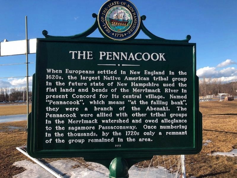
Concord in Merrimack County, New Hampshire — The American Northeast (New England)
The Pennacook
When Europeans settled in New England in the 1620s, the largest Native American tribal group in the future state of New Hampshire used the flat lands and bends of the Merrimack River in present Concord for its central village. Named “Pennacook", which means “at the failing bank". they were a branch of the Abenaki. The Pennacook were allied with other tribal groups in the Merrimack watershed and owed allegiance to the sagamore Passaconaway. Once numbering in the thousands, by the 1720s only a remnant of the group remained in the area.
Erected 2013 by NH Dept. of Natural & Cultural Resources - Div. of Historical Resources. (Marker Number 0238.)
Topics. This historical marker is listed in these topic lists: Colonial Era • Native Americans • Waterways & Vessels. A significant historical year for this entry is 1620.
Location. 43° 13.39′ N, 71° 31.605′ W. Marker is in Concord, New Hampshire, in Merrimack County. Marker is on College Drive, on the right when traveling north. The marker is a few hundred feet north of a boat launch access road to the Merrimack River and is adjacent to a NH Technical Institute athletic field. Touch for map. Marker is in this post office area: Concord NH 03301, United States of America. Touch for directions.
Other nearby markers. At least 8 other markers are within walking distance of this marker . End Of The First N. H. Turnpike (approx. ¾ mile away); Eastman (approx. ¾ mile away); Site of First Ferry (approx. ¾ mile away); Site of Rumford Garrison No. 2 (approx. 0.8 miles away); The First Garrison in Concord (approx. 0.9 miles away); Site of House (approx. 0.9 miles away); First Session of the Legislature at Concord (approx. 0.9 miles away); On The Interval Below This Spot (approx. one mile away). Touch for a list and map of all markers in Concord.
Credits. This page was last revised on February 18, 2019. It was originally submitted on February 16, 2019, by Douglas Finney of Concord, New Hampshire, USA. This page has been viewed 345 times since then and 47 times this year. Photo 1. submitted on February 16, 2019, by Douglas Finney of Concord, New Hampshire, USA. • Bill Pfingsten was the editor who published this page.
