Prophetstown in Whiteside County, Illinois — The American Midwest (Great Lakes)
Prophetstown State Park
Indian Village
August 22, 2018
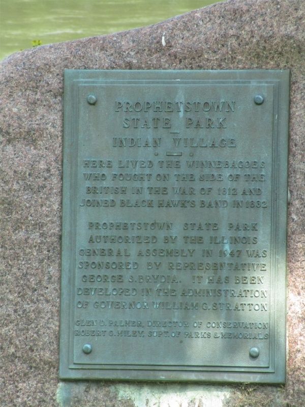
1. Prophetstown State Park Marker
Prophetstown State Park authorized by the Illinois General Assembly in 1947 was sponsored by Representative George S. Brydia. It has been developed in the administration of Governor William G. Stratton.
Erected by Glen D. Palmer, Director of Conservation and Robert G. Miley, Supt. of Parks & Memorials.
Topics. This historical marker is listed in these topic lists: Indigenous Peoples and Communities • Parks & Recreational Areas • Settlements & Settlers • Wars, US Indian. A significant historical year for this entry is 1832.
Location. 41° 40.357′ N, 89° 55.957′ W. Marker is in Prophetstown, Illinois, in Whiteside County. It is at the intersection of East Riverside Drive and Park Avenue, on the right when traveling west on East Riverside Drive. Touch for map. Marker is in this post office area: Prophetstown IL 61277, United States of America. Touch for directions.

Regionally, this marker is in Northern Illinois. It is also in the American Midwest, in the Corn Belt, and in the
this page online
Other nearby markers. At least 8 other markers are within 9 miles of this marker, measured as the crow flies: Wabokieshiek, White Cloud The Prophet (about 400 feet away, measured in a direct line); Prophetstown (approx. half a mile away); Lyndon Bridge (approx. 2.7 miles away); Tampico Soldiers Monument (approx. 8.1 miles away); 106 Main Street (approx. 8.1 miles away); 110 Main Street (approx. 8.1 miles away); 122 Main Street (approx. 8.1 miles away); 124 Main Street (approx. 8.1 miles away). Touch for a list and map of all markers in Prophetstown.
Additional keywords. Ho-Chunk (Winnebago); Sauk (Sac)
August 22, 2018
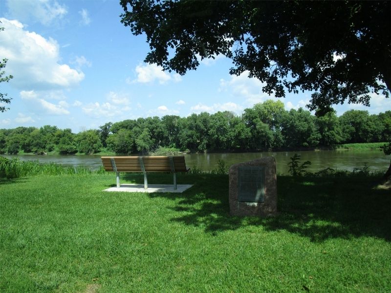
2. View of the Rock River
Credits. This page was last revised on April 1, 2019. It was originally submitted on March 30, 2019. This page has been viewed 572 times since then and 23 times this year. Photos: 1, 2. submitted on March 30, 2019. • Bill Pfingsten was the editor who published this page.
