
St. Elizabeths in Southeast Washington in Washington, District of Columbia — The American Northeast (Mid-Atlantic)
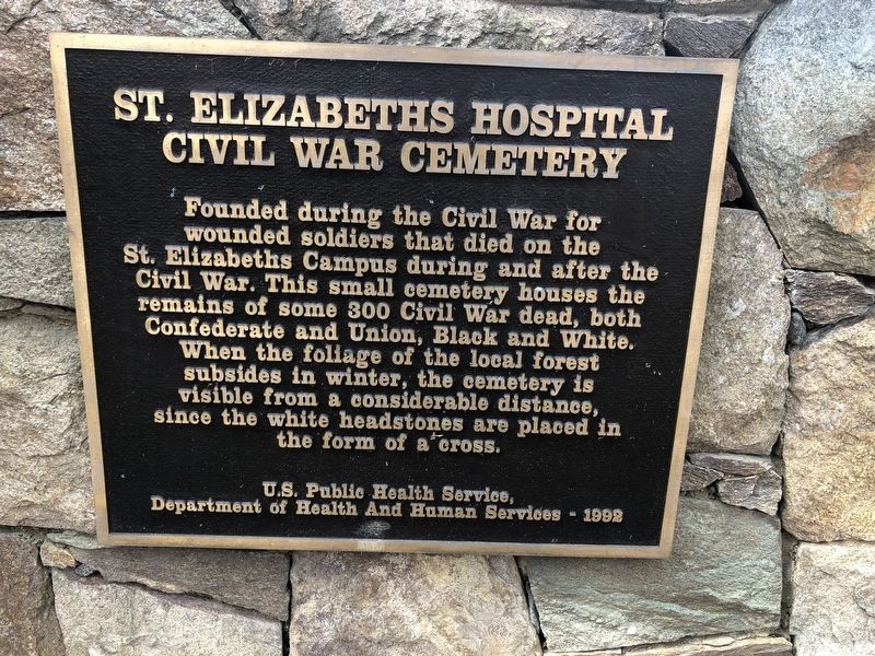
St. Elizabeths Hospital Civil War Cemetery
April 2, 2019
1. St. Elizabeths Hospital Civil War Cemetery Marker
Erected 1992 by U.S. Public Health Service, Department of Health and Human Services.
Topics. This historical marker is listed in these topic lists: African Americans • Cemeteries & Burial Sites • Science & Medicine • War, US Civil.
Location. 38° 51.297′ N, 77° 0.202′ W. Marker is in Southeast Washington in Washington, District of Columbia. It is in St. Elizabeths. It can be reached from Martin Luther King Jr. Avenue Southeast south of Pomeroy Road Southeast, on the right when traveling south. Touch for map. Marker is at or near this postal address: 2701 Martin Luther King Jr Avenue Southeast, Washington DC 20032, United States of America. Touch for directions.

Regionally,
this page online
Other nearby markers. At least 8 other markers are within walking distance of this marker: St. Elizabeths Hospital (approx. 0.4 miles away); Giesboro Park (approx. 0.4 miles away); History of St. Elizabeths Hospital (approx. 0.4 miles away); Redevelopment of St. Elizabeths (approx. 0.4 miles away); The Curative Powers of Nature (approx. 0.4 miles away); T-28 Trojan (approx. half a mile away); Grandpapa's Farm (approx. half a mile away); Hillsdale (approx. half a mile away). Touch for a list and map of all markers in Southeast Washington.
April 2, 2019
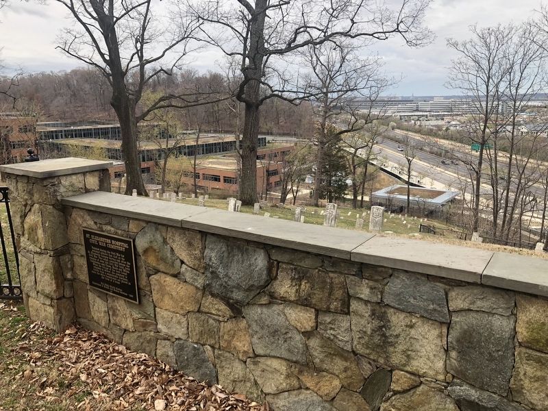
2. St. Elizabeths Hospital Civil War Cemetery Marker
Marker is on the cemetery's boundary wall on the grounds of St. Elizabeths.
April 2, 2019
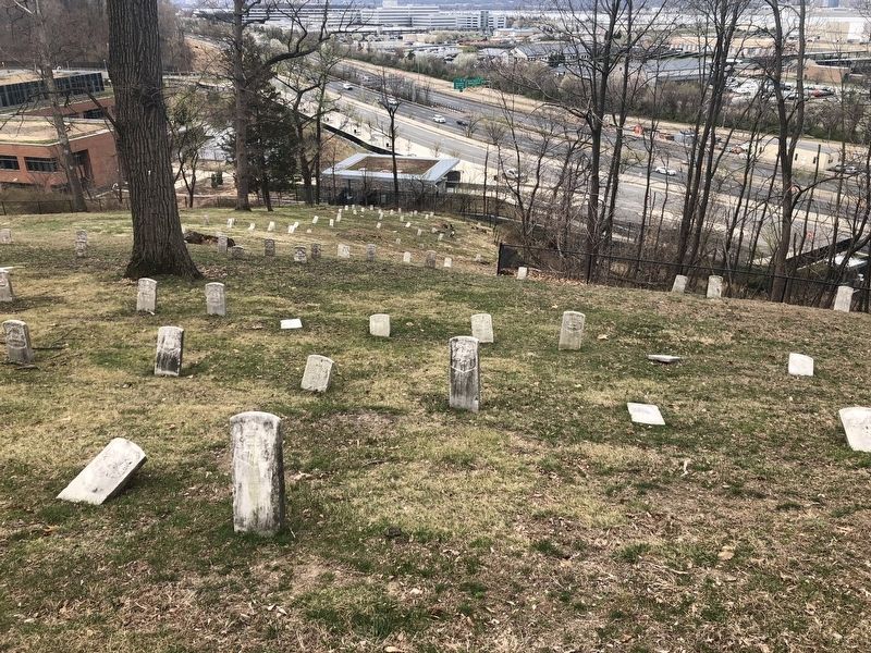
3. St. Elizabeths Hospital Civil War Cemetery
Credits. This page was last revised on January 31, 2023. It was originally submitted on April 2, 2019. This page has been viewed 752 times since then and 43 times this year. Photos: 1, 2, 3. submitted on April 2, 2019.
