
Marlowe near Falling Waters in Berkeley County, West Virginia — The American South (Appalachia)
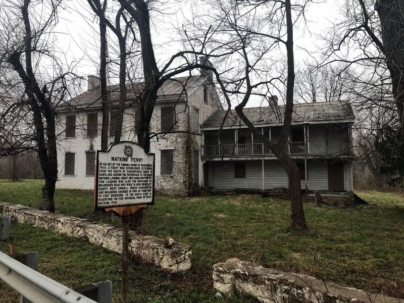
Watkins' Ferry
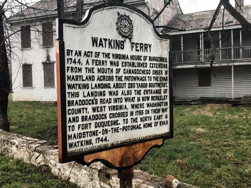
Erected 1967 by Shenandoah Valley Chapter, National Society of the Daughters of the American Revolution, Martinsburg, West Virginia.
Topics and series. This historical marker is listed in these topic lists: Colonial Era • Forts and Castles • War, French and Indian • Waterways & Vessels. In addition, it is included in the Braddock’s Road and Maj. Gen. Edward Braddock, and the Daughters of the American Revolution (DAR) series lists. A significant historical year for this entry is 1744.
Location. 39° 36.018′ N, 77° 49.993′ W. Marker is near Falling Waters, West Virginia, in Berkeley County. It is in Marlowe. It is on Williamsport Pike (U.S. 11)
this page online

Regionally, this marker is in the Eastern Panhandle. It is also in the American South, specifically in the Upper South, in Appalachia, and specifically in Northern Appalachia. Globally, it is in North America, the Western Hemisphere, the Western World, and the Anglosphere. Historically, it finds itself in what was once the territory of the Mississippian Culture and also the Antebellum South.
Other nearby markers. At least 8 other markers are within walking distance of this marker: West Virginia (Berkeley County) / Maryland (about 300 feet away, measured in a direct line); Williamsport (approx. 0.3 miles away in Maryland); C & O Canal Aqueduct (approx. 0.3 miles away in Maryland); Gettysburg Campaign (approx. 0.3 miles away in Maryland); Cushwa Basin/Williamsport (approx. 0.3 miles away in Maryland); Life on the Canal (approx. 0.3 miles away in Maryland); Boats Passing By (approx. 0.4 miles away in Maryland); The C&O Canal in the Civil War at Williamsport
Other markers no longer nearby. Creating a National Park (was approx. 0.3 miles away in Maryland but has been confirmed missing); a different marker also named Williamsport (was approx. 0.3 miles away in Maryland but has been confirmed missing); The Conococheague Aqueduct Restoration (was approx. 0.3 miles away in Maryland but has been confirmed missing); Connecting People and Places (was approx. 0.3 miles away in Maryland but has been confirmed missing); Conococheague Creek Aqueduct (was approx. 0.3 miles away in Maryland but has been confirmed missing).
Credits. This page was last revised on March 20, 2023. It was originally submitted on April 6, 2019, by Devry Becker Jones of Washington, District of Columbia. This page has been viewed 3,548 times since then and 234 times this year. Photos: 1, 2. submitted on April 6, 2019, by Devry Becker Jones of Washington, District of Columbia.
