Santa María del Río, San Luis Potosí, Mexico — The Northeast (and Central Highlands)
Hidalgo Garden
Photographed by J. Makali Bruton, March 16, 2019
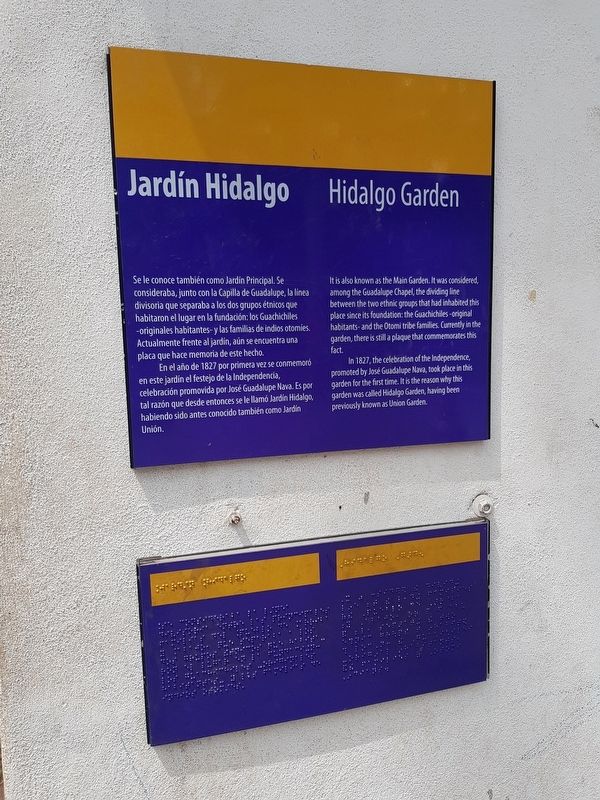
1. Hidalgo Garden Marker

Se le conoce también como Jardín Principal. Se consideraba, junto con la Capilla de Guadalupe, la línea divisoria que separaba a los dos grupos étnicos que habitaron el lugar en la fundación: los Guachichiles - originales habitantes - y las familias de indios otomíes. Actualmente frente al jardín, aún se encuentra una placa que hace memoria de este hecho.
En el año de 1827 por primera vez se conmemoró en este jardín el festejo de la Independencia, celebración promovida por José Guadalupe Nava. Es por tal razón que desde entonces se le llamó Jardin Hidalgo, habiendo sido antes conocido también como Jardín Unión.
Hidalgo Garden
It is also known as the Main Garden. It was considered, among the Guadalupe Chapel, the dividing line between the two ethnic groups that had inhabited this place since its foundation: the Guachichiles – original habitants - and the Otomi tribe families. Currently in the garden, there is still a plaque that commemorates this fact.
In 1827, the celebration of the Independence, promoted by José Guadalupe Nava, took place in this garden for the first time. It is the reason why
this page online
Topics. This historical marker is listed in these topic lists: Colonial Era • Indigenous Peoples and Communities • Parks & Recreational Areas • Settlements & Settlers. A significant historical year for this entry is 1827.
Location. 21° 48.025′ N, 100° 44.184′ W. Marker is in Santa María del Río, San Luis Potosí. It is on Miguel Hidalgo y Costilla just north of José María Morelos y Pavón, on the left when traveling north. Touch for map. Marker is in this post office area: Santa María del Río SL 79560, Mexico. Touch for directions.

Regionally, this marker is in Northern Mexico, in the Bajío, and in the Sierra Madre. Globally, it is in North America and the Western Hemisphere. Historically, it finds itself in what was once New Spain and also a Spanish colony.
Other nearby markers. At least 8 other markers are within walking distance of this marker: Parish of Our Lady of the Assumption (within shouting distance of this marker); Dividing Line Between Otomíes and Guachichiles (within shouting distance of this marker); Primo Feliciano Velázquez Rodríguez
Photographed by J. Makali Bruton, March 16, 2019
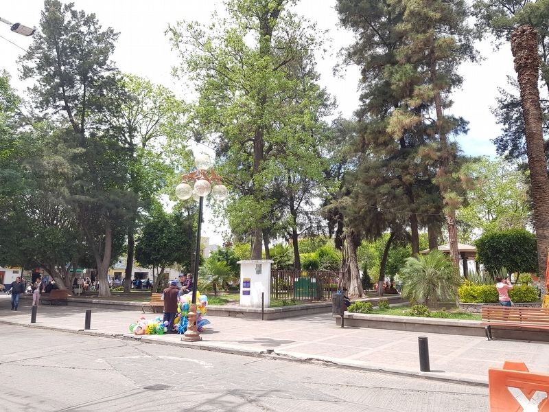
2. Hidalgo Garden and Marker
Photographed by J. Makali Bruton, March 16, 2019
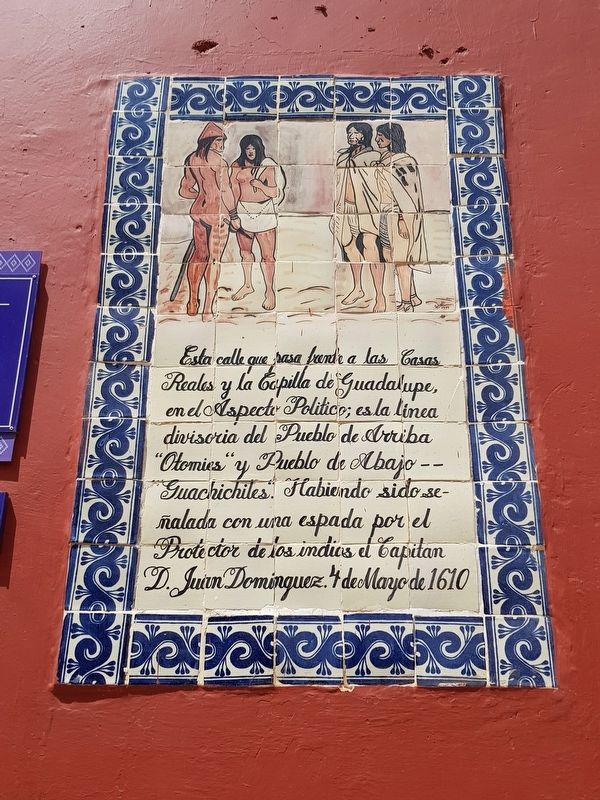
3. The nearby "Otomíes and Guachichiles" marker, mentioned in the marker text
See the "Other nearby markers" for this marker's entry.
Photographed by J. Makali Bruton, March 16, 2019
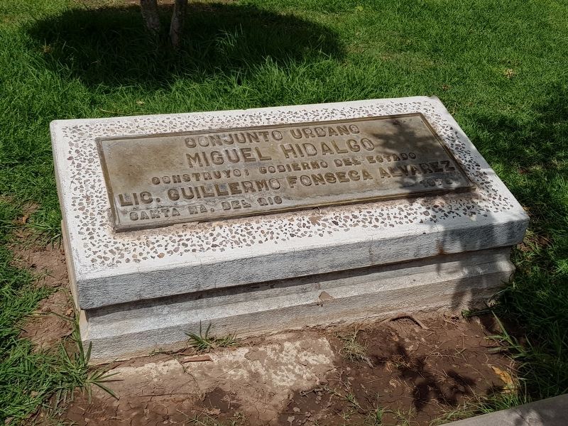
4. An additional nearby marker on a 1979 restoration of the Jardín Hidalgo
Construyo: Gobierno del Estado
Lic. Guillermo Fonseca Alvarez
Santa Ma. del Rio 1979
Credits. This page was last revised on November 9, 2025. It was originally submitted on April 13, 2019, by J. Makali Bruton of Washington, District of Columbia. This page has been viewed 264 times since then and 12 times this year. Photos: 1, 2, 3, 4. submitted on April 13, 2019, by J. Makali Bruton of Washington, District of Columbia.
